
Global Wildfire Database for GWIS (2021)
收藏Mendeley Data2023-12-05 更新2024-06-27 收录
下载链接:
https://doi.pangaea.de/10.1594/PANGAEA.943975
下载链接
链接失效反馈官方服务:
资源简介:
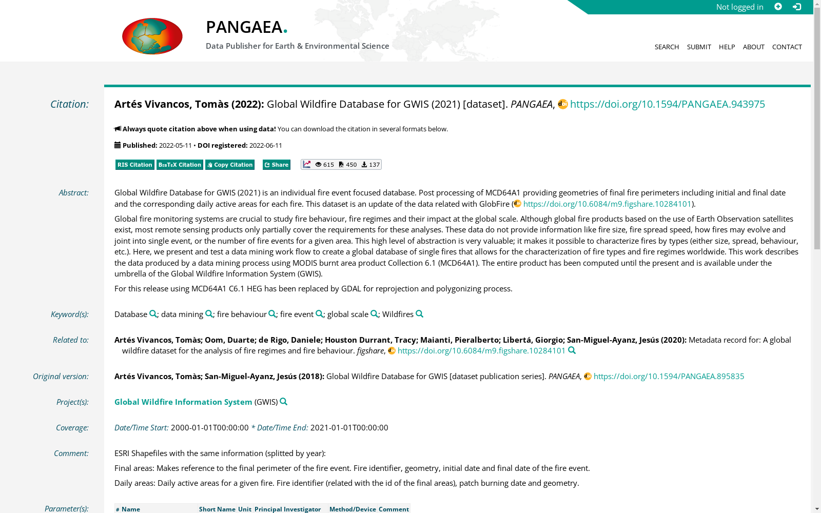
Global Wildfire Database for GWIS (2021) is an individual fire event focused database. Post processing of MCD64A1 providing geometries of final fire perimeters including initial and final date and the corresponding daily active areas for each fire. This dataset is an update of the data related with GlobFire (https://doi.org/10.6084/m9.figshare.10284101).
Global fire monitoring systems are crucial to study fire behaviour, fire regimes and their impact at the global scale. Although global fire products based on the use of Earth Observation satellites exist, most remote sensing products only partially cover the requirements for these analyses. These data do not provide information like fire size, fire spread speed, how fires may evolve and joint into single event, or the number of fire events for a given area. This high level of abstraction is very valuable; it makes it possible to characterize fires by types (either size, spread, behaviour, etc.). Here, we present and test a data mining work flow to create a global database of single fires that allows for the characterization of fire types and fire regimes worldwide. This work describes the data produced by a data mining process using MODIS burnt area product Collection 6.1 (MCD64A1). The entire product has been computed until the present and is available under the umbrella of the Global Wildfire Information System (GWIS).
For this release using MCD64A1 C6.1 HEG has been replaced by GDAL for reprojection and polygonizing process.
用于全球野火信息系统(Global Wildfire Information System,GWIS)的2021版全球野火数据库,是一款聚焦单场火灾事件的专项数据库。本数据集通过对MCD64A1产品开展后处理,提取得到每场火灾的最终火场边界几何信息,同时包含火灾的起始与终止日期,以及对应每日的火场活跃面积。本数据集为GlobFire数据集的更新版本(原始数据集DOI:https://doi.org/10.6084/m9.figshare.10284101)。
全球野火监测系统是开展全球尺度火灾行为、火灾制度及其影响研究的核心支撑。尽管当前已存在基于地球观测卫星的全球火灾产品,但多数遥感产品仅能部分满足此类研究的需求:现有遥感产品无法提供诸如火灾规模、火势蔓延速度、火灾演化与合并为单事件的过程,以及特定区域内火灾事件总数等关键信息。此类高维度的抽象信息极具研究价值,可实现基于类型(如规模、蔓延特征、行为模式等)的火灾特征刻画。为此,本文提出并验证了一套数据挖掘工作流,用于构建全球单火灾事件数据库,以实现全球范围内火灾类型与火灾制度的特征刻画。本研究介绍了依托MODIS火烧面积产品Collection 6.1(MCD64A1),通过数据挖掘流程生成的数据集。该完整数据集已更新至当前最新时段,依托全球野火信息系统(GWIS)对外发布。
本版本更新中,针对MCD64A1 C6.1产品的重投影与多边形矢量化流程,已将原使用的HEG工具替换为GDAL。
创建时间:
2023-12-05
搜集汇总
数据集介绍
背景与挑战
背景概述
该数据集是一个全球野火数据库,专注于单个火灾事件,通过处理MODIS燃烧面积产品(MCD64A1)提供火灾周界几何形状、日期和每日活跃区域信息,覆盖时间从2000年到2021年。它旨在支持全球火灾行为、火灾制度和影响的分析,是GWIS系统的一部分,以ESRI Shapefiles格式提供,包含88个数据点,适用于火灾类型和火灾制度的全球表征研究。
以上内容由遇见数据集搜集并总结生成



