A dataset of 1km Grid Facility agricultural land density in China(2020)
收藏资源简介:
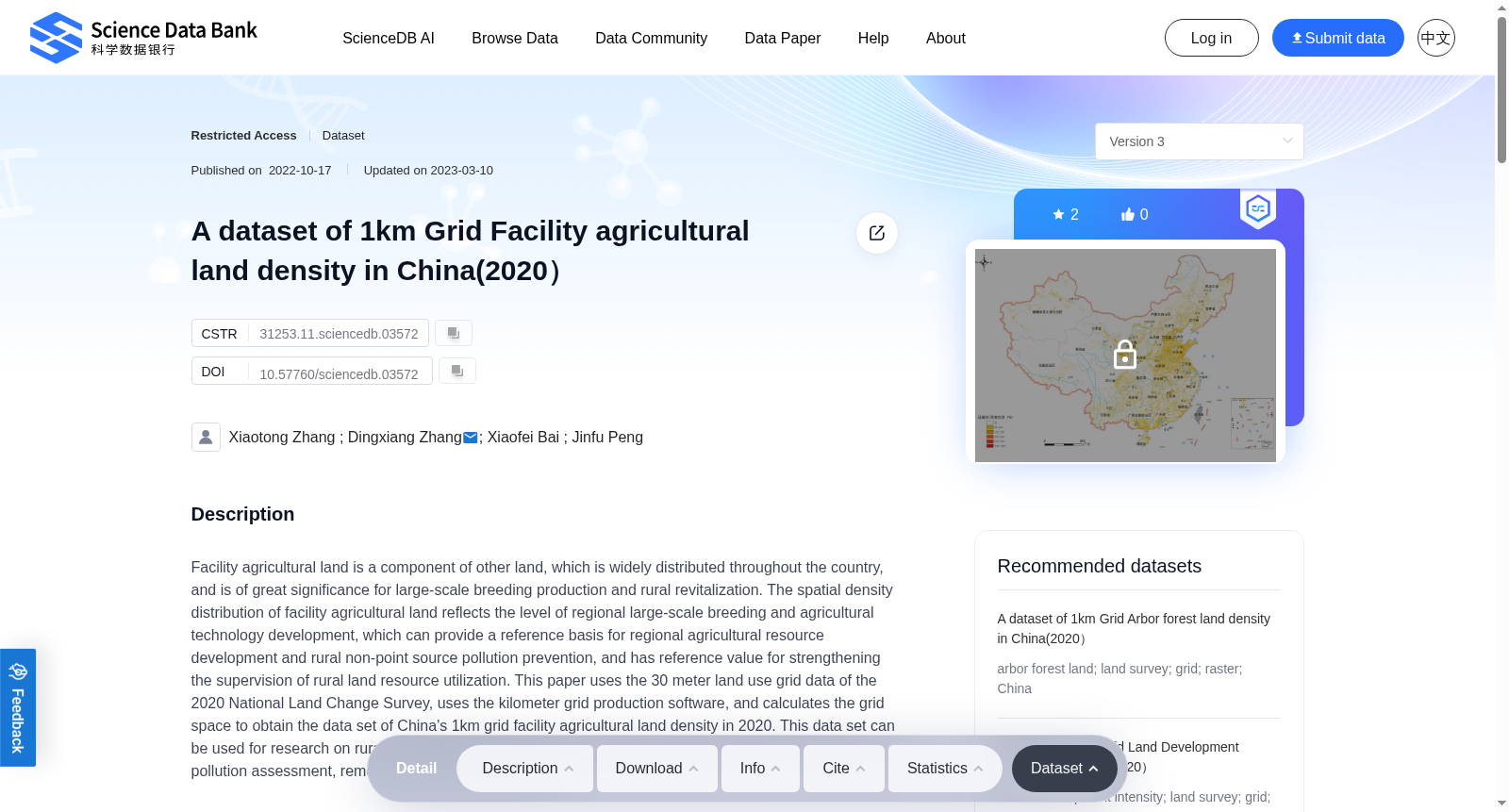
Facility agricultural land is a component of other land, which is widely distributed throughout the country, and is of great significance for large-scale breeding production and rural revitalization. The spatial density distribution of facility agricultural land reflects the level of regional large-scale breeding and agricultural technology development, which can provide a reference basis for regional agricultural resource development and rural non-point source pollution prevention, and has reference value for strengthening the supervision of rural land resource utilization. This paper uses the 30 meter land use grid data of the 2020 National Land Change Survey, uses the kilometer grid production software, and calculates the grid space to obtain the data set of China's 1km grid facility agricultural land density in 2020. This data set can be used for research on rural revitalization planning, rural industry planning, agricultural non-point source pollution assessment, remote sensing sample library, etc.
设施农用地(Facility agricultural land)属于其他土地范畴,广泛分布于全国范围内,对于规模化养殖生产与乡村振兴具有重要意义。设施农用地的空间密度分布能够反映区域规模化养殖水平与农业技术发展程度,可为区域农业资源开发、农村面源污染防控提供参考依据,同时对强化农村土地资源利用监管具有参考价值。本数据集以2020年全国国土变更调查的30米土地利用栅格数据为基础,依托千米栅格生产软件开展栅格空间计算,最终得到2020年中国1千米栅格尺度设施农用地密度数据集。该数据集可应用于乡村振兴规划、乡村产业规划、农业面源污染评估、遥感样本库构建等相关研究领域。