汉班托塔港地区精细化人口空间分布数据集(HRSLv1.2)(2015)
收藏国家青藏高原科学数据中心2021-11-23 更新2024-03-01 收录
下载链接:
https://data.tpdc.ac.cn/zh-hans/data/ae5914ac-1032-497d-80db-cc97f921451b
下载链接
链接失效反馈官方服务:
资源简介:
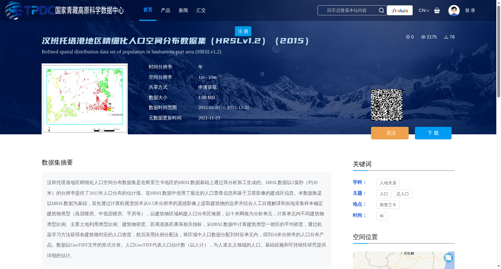
汉班托塔港地区精细化人口空间分布数据集是在斯里兰卡地区的HRSL数据基础上通过再分析加工生成的。HRSL数据以1弧秒(约30米)的分辨率提供了2015年人口分布的估计值。在HRSL数据中使用了最近的人口普查信息和基于卫星影像的建成区信息。本数据集是以HRSL数据为基础,首先通过计算机视觉技术从0.5米分辨率的遥感影像上提取建筑物的边界并结合人工目视解译和实地采集样本确定建筑物类型(高层楼房、中低层楼房、平房等),以建筑物区域构建人口分布区掩膜,以十米网格为分析单元,计算单元内不同建筑物类型比例、主要土地利用类型比例、建筑物密度、距离道路距离等相关指标,从HRSL数据中计算建筑类型一致区的平均密度,通过机器学习方法获得各建筑物对应的人口密度,然后采用比例分配法,将区域中人口数据分配到对应单元内,得到10米分辨率的人口分布产品。数据以GeoTIFF文件的形式分发。人口GeoTIFF代表人口估计数(以人计),为人道主义领域的人口、基础设施和可持续性研究提供详细的估计。
The refined spatial population distribution dataset for the Hambantota Port area was generated via reanalysis and processing based on HRSL data from Sri Lanka. HRSL data provides estimates of the 2015 population distribution at a resolution of 1 arcsecond (approximately 30 meters). The HRSL dataset incorporates the most recent census data and satellite image-derived built-up area information. This dataset is built upon the HRSL data. First, computer vision techniques are used to extract building boundaries from 0.5-meter-resolution remote sensing imagery, combined with manual visual interpretation and field-collected samples to identify building types (e.g., high-rise buildings, mid-low-rise buildings, bungalows). A population distribution area mask is constructed based on building regions. Using 10-meter grids as analysis units, relevant indicators including the proportions of different building types, proportions of major land use types, building density, and distance to roads within each unit are calculated. The average population density of areas with consistent building types is derived from the HRSL data, and the population density corresponding to each building is obtained via machine learning methods. Subsequently, the proportional allocation method is adopted to distribute the regional population data to corresponding units, resulting in a 10-meter-resolution population distribution product. The dataset is distributed in the form of GeoTIFF files. The population GeoTIFF represents population estimates (in persons), providing detailed estimates for population, infrastructure, and sustainability research in the humanitarian field.
提供机构:
董文
创建时间:
2020-12-24
搜集汇总
数据集介绍
背景与挑战
背景概述
该数据集是2015年斯里兰卡汉班托塔港地区的精细化人口空间分布数据,基于HRSL数据并通过计算机视觉和机器学习方法生成,空间分辨率为10米,以GeoTIFF格式提供人口估计值,适用于人道主义领域的研究。
以上内容由遇见数据集搜集并总结生成


