
南京市基础地理信息变化区域数据
收藏数据链接:
官方服务:
资源简介:
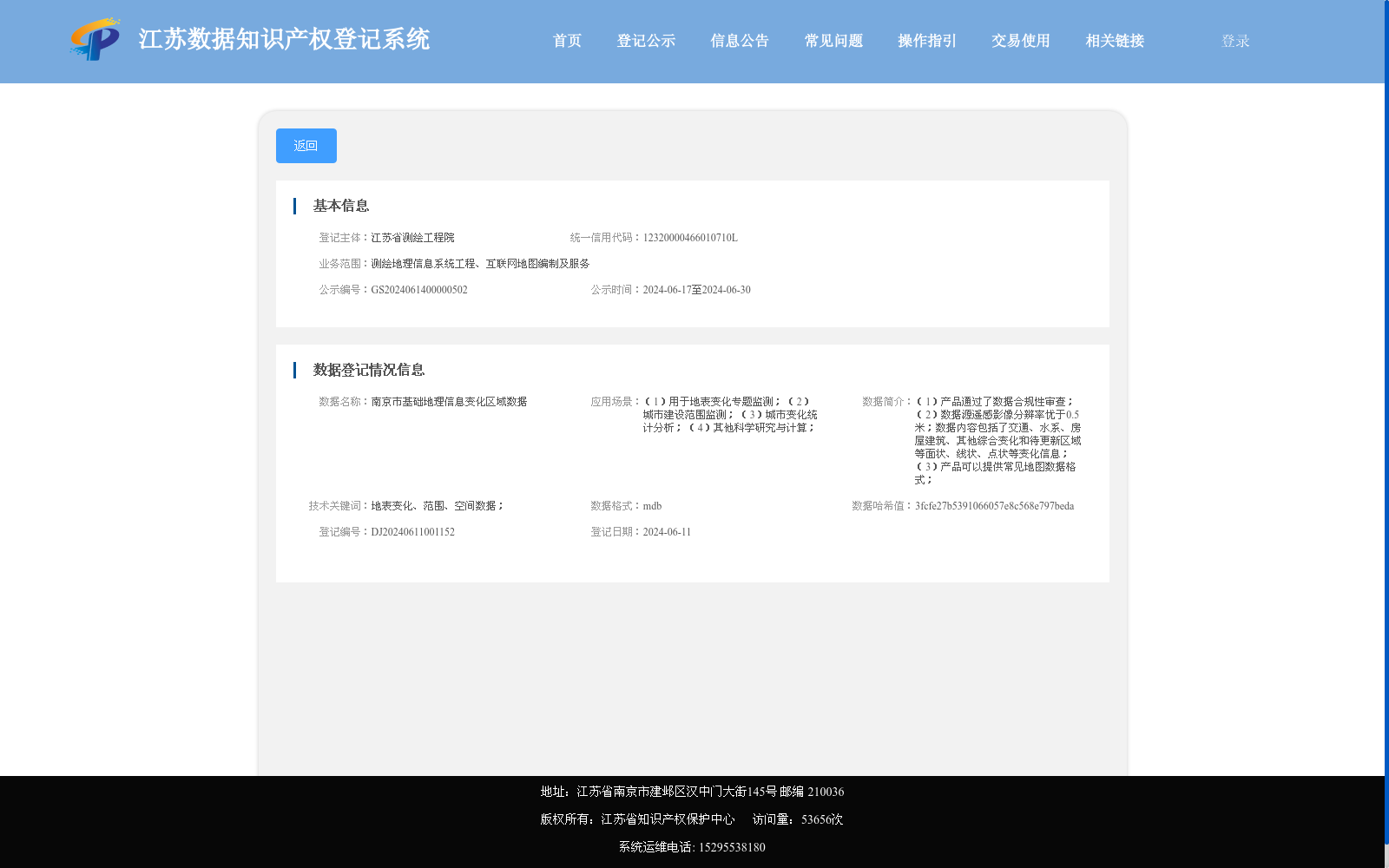
(1)产品通过了数据合规性审查; (2)数据源遥感影像分辨率优于0.5米;数据内容包括了交通、水系、房屋建筑、其他综合变化和待更新区域等面状、线状、点状等变化信息; (3)产品可以提供常见地图数据格式;
(1) This product has passed the data compliance audit; (2) The remote sensing images serving as the data source have a resolution higher than 0.5 meters; the data content contains polygonal, linear and point-shaped change information covering transportation, water systems, residential buildings, other comprehensive changes and areas to be updated; (3) The product supports common geospatial map data formats.
提供机构:
江苏省测绘工程院搜集汇总
数据集介绍
特点
南京市基础地理信息变化区域数据由江苏省测绘工程院登记,主要用于地表变化监测、城市建设范围监测等场景。数据源为分辨率优于0.5米的遥感影像,包含交通、水系、房屋建筑等变化信息,数据格式为mdb。
以上内容由遇见数据集搜集并总结生成


