闽赣湘鄂四省水稻10m分辨率时空分布数据集(2018-2021年)
收藏国家地球系统科学数据中心2024-09-03 更新2024-04-21 收录
下载链接:
https://www.geodata.cn/data/datadetails.html?dataguid=76460845139096&docId=2777
下载链接
链接失效反馈官方服务:
资源简介:
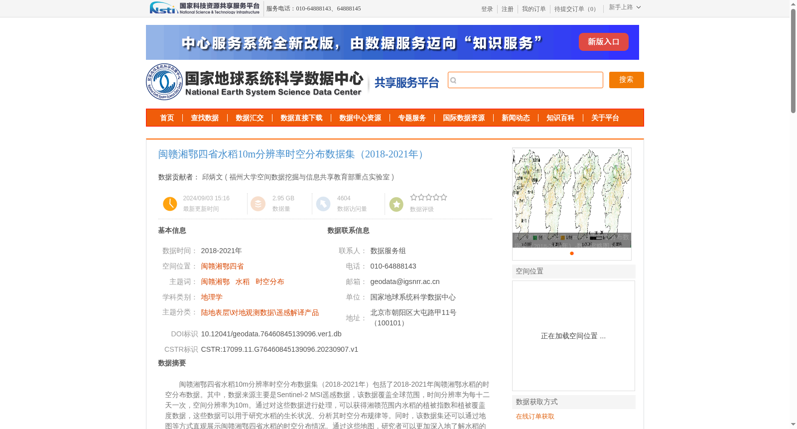
闽赣湘鄂四省水稻10m分辨率时空分布数据集(2018-2021年)包括了2018-2021年闽赣湘鄂水稻的时空分布数据。其中,数据来源主要是Sentinel-2 MSI遥感数据,该数据覆盖全球范围,时间分辨率为每十二天一次,空间分辨率为10m。通过对这些数据进行处理,可以获得湘赣范围内水稻的植被指数和植被覆盖度数据,这些数据可以用于研究水稻的生长状况、分析其时空分布规律等。同时,该数据集还可以通过地图等方式直观展示闽赣湘鄂四省水稻的时空分布情况。通过这些地图,研究者可以更加深入地了解水稻的生长状况,从而为农业生产和粮食安全提供有益的支持。
The 10-meter-resolution spatiotemporal distribution dataset of rice in Fujian, Jiangxi, Hunan and Hubei Provinces (2018–2021) covers the spatiotemporal distribution data of rice across these four provinces from 2018 to 2021. The primary data source is Sentinel-2 MSI remote sensing data, which features global coverage, a 12-day temporal revisit interval, and a 10-meter spatial resolution. After processing this dataset, vegetation index and vegetation coverage data of rice within the scope of Jiangxi and Hunan Provinces can be obtained. These data can be used to study rice growth conditions and analyze its spatiotemporal distribution patterns, among other research purposes. Additionally, this dataset can intuitively display the spatiotemporal distribution of rice in the four aforementioned provinces via maps and other visualization tools. Through these maps, researchers can gain a deeper understanding of rice growth status, thereby providing valuable support for agricultural production and food security.
提供机构:
福州大学空间数据挖掘与信息共享教育部重点实验室
创建时间:
2023-09-07
搜集汇总
数据集介绍
背景与挑战
背景概述
该数据集提供了2018-2021年闽赣湘鄂四省水稻的时空分布数据,基于Sentinel-2 MSI遥感数据,空间分辨率为10m,适用于研究水稻生长状况和时空分布规律,识别精度达90%以上。
以上内容由遇见数据集搜集并总结生成


