东构造节波密-墨脱大地电磁测深剖面三维电阻率模型(2023)
收藏资源简介:
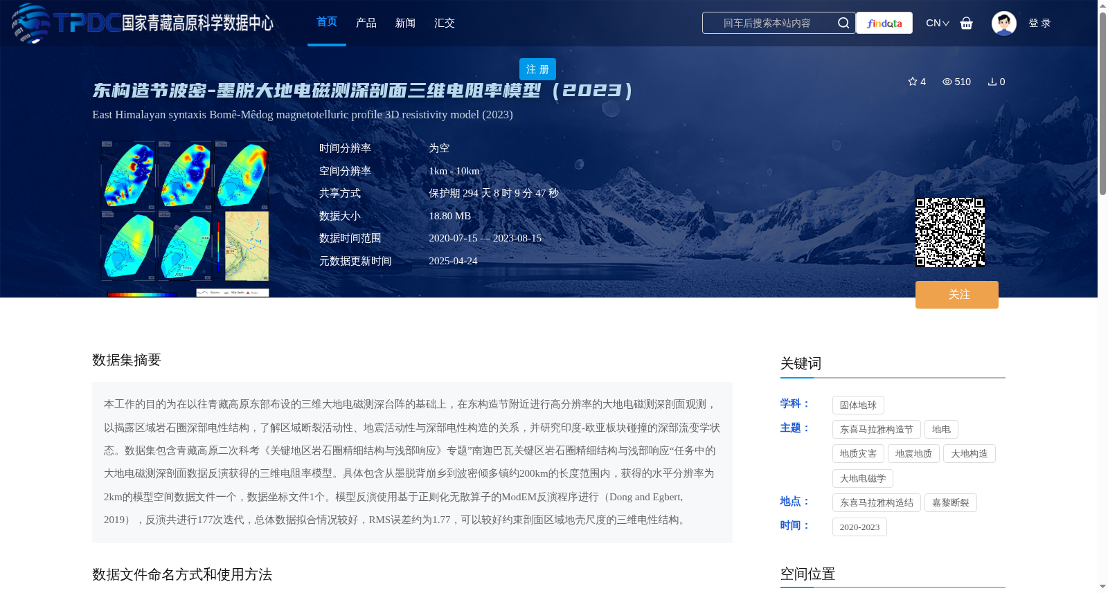
本工作的目的为在以往青藏高原东部布设的三维大地电磁测深台阵的基础上,在东构造节附近进行高分辨率的大地电磁测深剖面观测,以揭露区域岩石圈深部电性结构,了解区域断裂活动性、地震活动性与深部电性构造的关系,并研究印度-欧亚板块碰撞的深部流变学状态。数据集包含青藏高原二次科考《关键地区岩石圈精细结构与浅部响应》专题”南迦巴瓦关键区岩石圈精细结构与浅部响应“任务中的大地电磁测深剖面数据反演获得的三维电阻率模型。具体包含从墨脱背崩乡到波密倾多镇约200km的长度范围内,获得的水平分辨率为2km的模型空间数据文件一个,数据坐标文件1个。模型反演使用基于正则化无散算子的ModEM反演程序进行(Dong and Egbert, 2019),反演共进行177次迭代,总体数据拟合情况较好,RMS误差约为1.77,可以较好约束剖面区域地壳尺度的三维电性结构。
The purpose of this study is to conduct high-resolution magnetotelluric (MT) sounding profile observations near the Eastern Himalayan Syntaxis, based on the previously deployed 3D MT sounding array in the eastern Tibetan Plateau, so as to reveal the deep electrical structure of the regional lithosphere, clarify the relationships among regional fault activity, seismic activity and deep electrical structures, and investigate the deep rheological state of the India-Eurasia plate collision. The dataset contains the 3D resistivity model obtained by inverting MT sounding profile data from the task of "Lithospheric Fine Structure and Shallow Response in the Namcha Barwa Key Area" under the topic "Lithospheric Fine Structure and Shallow Response in Key Areas" of the Second Tibetan Plateau Scientific Expedition and Research (STEP) Program. Specifically, the dataset includes one spatial data file of the model with a horizontal resolution of 2 km over a length of approximately 200 km from Beibeng Township, Medog County to Qiangduo Township, Bomi County, and one coordinate data file. The model inversion was performed using the ModEM inversion program based on the regularized divergence-free operator (Dong and Egbert, 2019), with a total of 177 iterations. The overall data fitting is good, with a root-mean-square (RMS) error of approximately 1.77, which can well constrain the crustal-scale 3D electrical structure of the profile area.