三江源300米分辨率ESA土地覆盖数据集(1992-2015)
收藏国家青藏高原科学数据中心2021-04-19 更新2024-03-06 收录
下载链接:
https://data.tpdc.ac.cn/zh-hans/data/a290c998-801b-49b4-ab40-d1b297c78e62
下载链接
链接失效反馈官方服务:
资源简介:
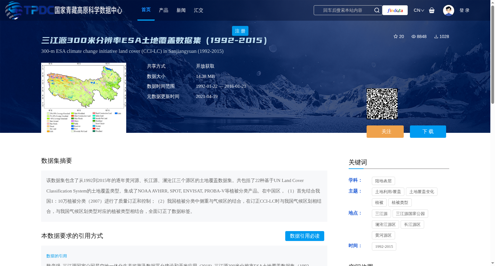
该数据集包含了从1992到2015年的逐年黄河源、长江源、澜沧江三个源区的土地覆盖数据集。共包括了22种基于UN Land Cover Classification System的土地覆盖类型。集成了NOAA AVHRR, SPOT, ENVISAT, PROBA-V等植被分类产品。在中国区,(1)首先结合我国1:10万植被分类(2007)进行了质量订正和控制;(2)我国植被分类中侧重与气候区的结合,在订正CCI-LC时与我国气候区划相结合,与我国气候区划类型对应的植被类型相结合,全面订正了数据标签。
This dataset provides annual land cover data for the three source regions: the Yellow River source, Yangtze River source, and Lancang River source, spanning from 1992 to 2015. It includes a total of 22 land cover types compliant with the UN Land Cover Classification System, and integrates vegetation classification products including NOAA AVHRR, SPOT, ENVISAT, and PROBA-V.
For the Chinese regional portion:
1. Quality correction and control were first conducted using China's 1:100,000-scale vegetation classification data (2007);
2. China's vegetation classification prioritizes integration with climatic zones. During the revision of the CCI-LC dataset, we aligned the data with China's climatic regionalization and the vegetation types corresponding to each climatic regionalization category in China, and comprehensively revised all data labels.
提供机构:
魏彦强,三江源国家公园星空地一体化生态监测及数据平台建设和开发应用
创建时间:
2018-08-09
搜集汇总
数据集介绍
背景与挑战
背景概述
该数据集为三江源地区1992-2015年的300米分辨率土地覆盖数据,包含22种国际标准分类类型,并经过中国植被分类和气候区划的专项订正,具有较高的区域适用性。
以上内容由遇见数据集搜集并总结生成


