白格滑坡深部位移监测数据-测斜监测数据(2019-2020)
收藏国家青藏高原科学数据中心2022-03-25 更新2024-03-01 收录
下载链接:
https://data.tpdc.ac.cn/zh-hans/data/9ec951c8-028e-4831-a2fe-0e6f7cf334e2
下载链接
链接失效反馈官方服务:
资源简介:
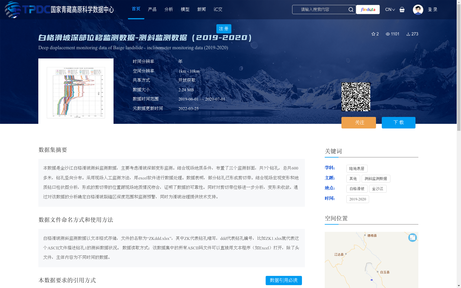
本数据是金沙江白格滑坡测斜监测数据,主要考虑滑坡深部变形监测。结合现场地质条件,布置了三个监测剖面,共7个钻孔,总共600多米,钻孔竖向分布。采用现场人工监测方法,用excel软件进行数据处理。数据表明,部分钻孔已形成剪切带。结合现场宏观变形和地质钻口柱状图分析,形成的剪切带的位置跟现场地质情况吻合,证明了数据的可靠性。同时对剪切带位移进一步分析,变形未收敛。通过对该数据的分析确定白格滑坡裂缝区深度范围和监测预警,同时为滑坡治理提供技术支持。
This dataset contains inclinometer monitoring data collected from the Baige Landslide in the Jinsha River, with a focus on deep deformation monitoring of the landslide. Combined with on-site geological conditions, three monitoring profiles were arranged, consisting of a total of 7 boreholes with a total length of over 600 meters, which are vertically distributed. On-site manual monitoring was employed, and Excel software was used for data processing. The data shows that shear zones have formed in some of the boreholes. Through analysis combining on-site macroscopic deformation and geological borehole columnar sections, the positions of the formed shear zones are consistent with the actual on-site geological conditions, which verifies the reliability of this dataset. Further analysis of the displacement of the shear zones reveals that the deformation has not yet converged. Analysis of this dataset can determine the depth range of the crack zone of the Baige Landslide and support monitoring and early warning, while also providing technical support for landslide governance.
提供机构:
陈菲
创建时间:
2022-03-19
搜集汇总
数据集介绍
背景与挑战
背景概述
该数据集是2019年至2020年金沙江白格滑坡的深部位移监测数据,采用测斜监测方法,覆盖三个监测剖面和7个钻孔,总长度超过600米,数据以Excel格式存储,用于分析滑坡深部变形和剪切带形成。数据具有开放获取特性,时间范围为2019年6月至2020年7月,空间分辨率在1km至10km之间,旨在支持滑坡深度范围确定、监测预警和治理工作,已验证其可靠性与地质情况吻合。
以上内容由遇见数据集搜集并总结生成


