2000-2015年第三极地区30mASTER_DEM-SRTM冰川表面高程变化数据产品V1.0
收藏地球大数据科学工程2024-03-04 收录
下载链接:
https://data.casearth.cn/sdo/detail/636e17ec819aec5df66b51fa
下载链接
链接失效反馈官方服务:
资源简介:
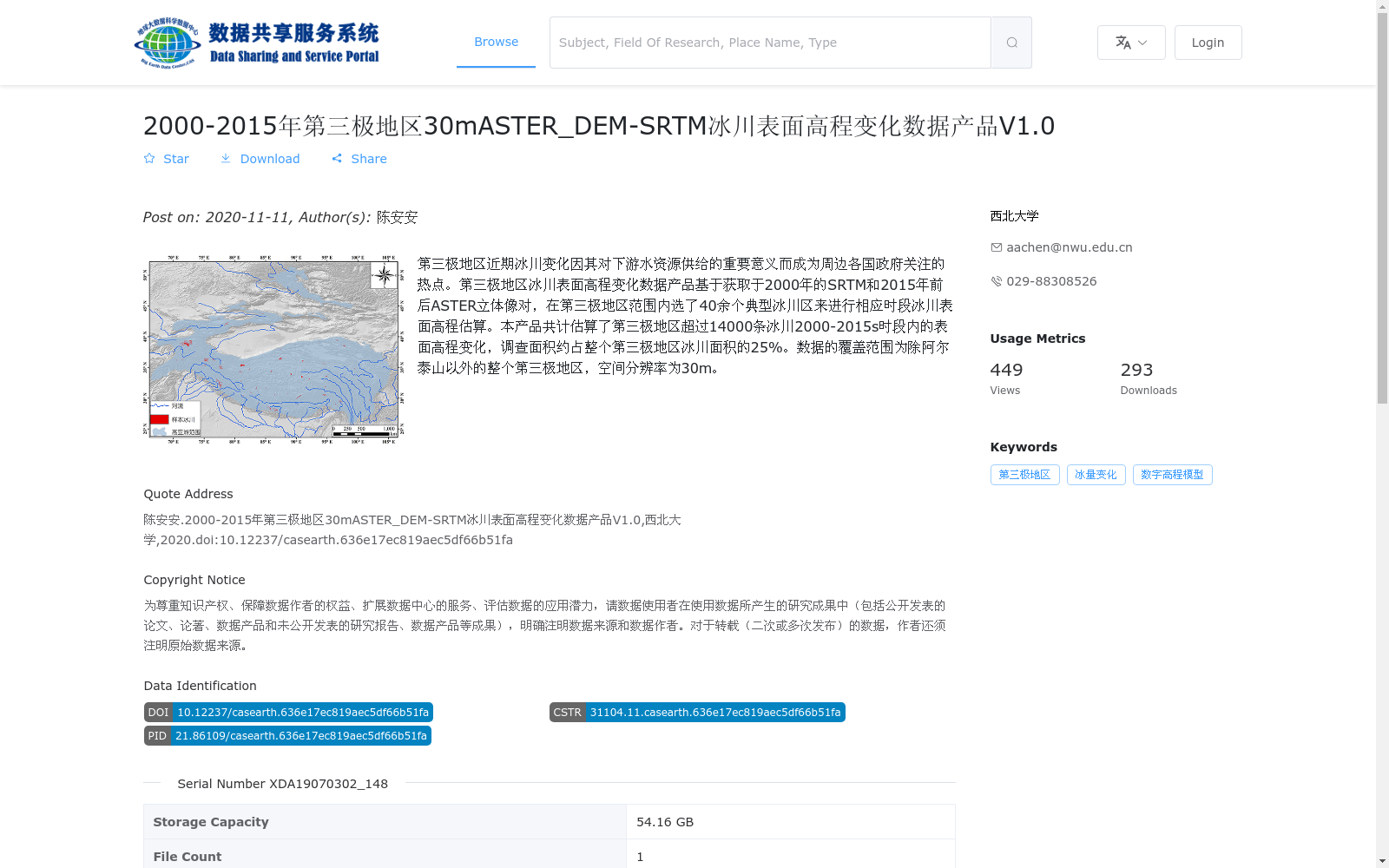
第三极地区近期冰川变化因其对下游水资源供给的重要意义而成为周边各国政府关注的热点。第三极地区冰川表面高程变化数据产品基于获取于2000年的SRTM和2015年前后ASTER立体像对,在第三极地区范围内选了40余个典型冰川区来进行相应时段冰川表面高程估算。本产品共计估算了第三极地区超过14000条冰川2000-2015s时段内的表面高程变化,调查面积约占整个第三极地区冰川面积的25%。数据的覆盖范围为除阿尔泰山以外的整个第三极地区,空间分辨率为30m。
Recent glacier changes in the Third Pole region have emerged as a key concern for governments of neighboring countries, given their critical importance to downstream water resource supplies. This glacier surface elevation change dataset for the Third Pole region is developed using SRTM data acquired in 2000 and ASTER stereo images collected around 2015. Over 40 typical glacier regions were selected across the entire Third Pole region to estimate surface elevation changes of glaciers over the corresponding period. In total, this dataset has estimated the surface elevation changes of more than 14,000 glaciers in the Third Pole region during the 2000–2015 period, with the surveyed area accounting for approximately 25% of the total glacier area across the entire Third Pole region. The dataset covers the entire Third Pole region except the Altai Mountains, with a spatial resolution of 30 meters.
提供机构:
西北大学
搜集汇总
数据集介绍
背景与挑战
背景概述
该数据集提供了2000-2015年第三极地区(除阿尔泰山外)超过14000条冰川的表面高程变化数据,空间分辨率为30m,基于SRTM和ASTER立体像对生成,覆盖面积约占该地区冰川总面积的25%。数据以GeoTiff格式存储,容量为54.16GB,适用于研究冰川变化及其对水资源的影响。
以上内容由遇见数据集搜集并总结生成


