青藏高原草地生态功能图集(2000-2020)
收藏资源简介:
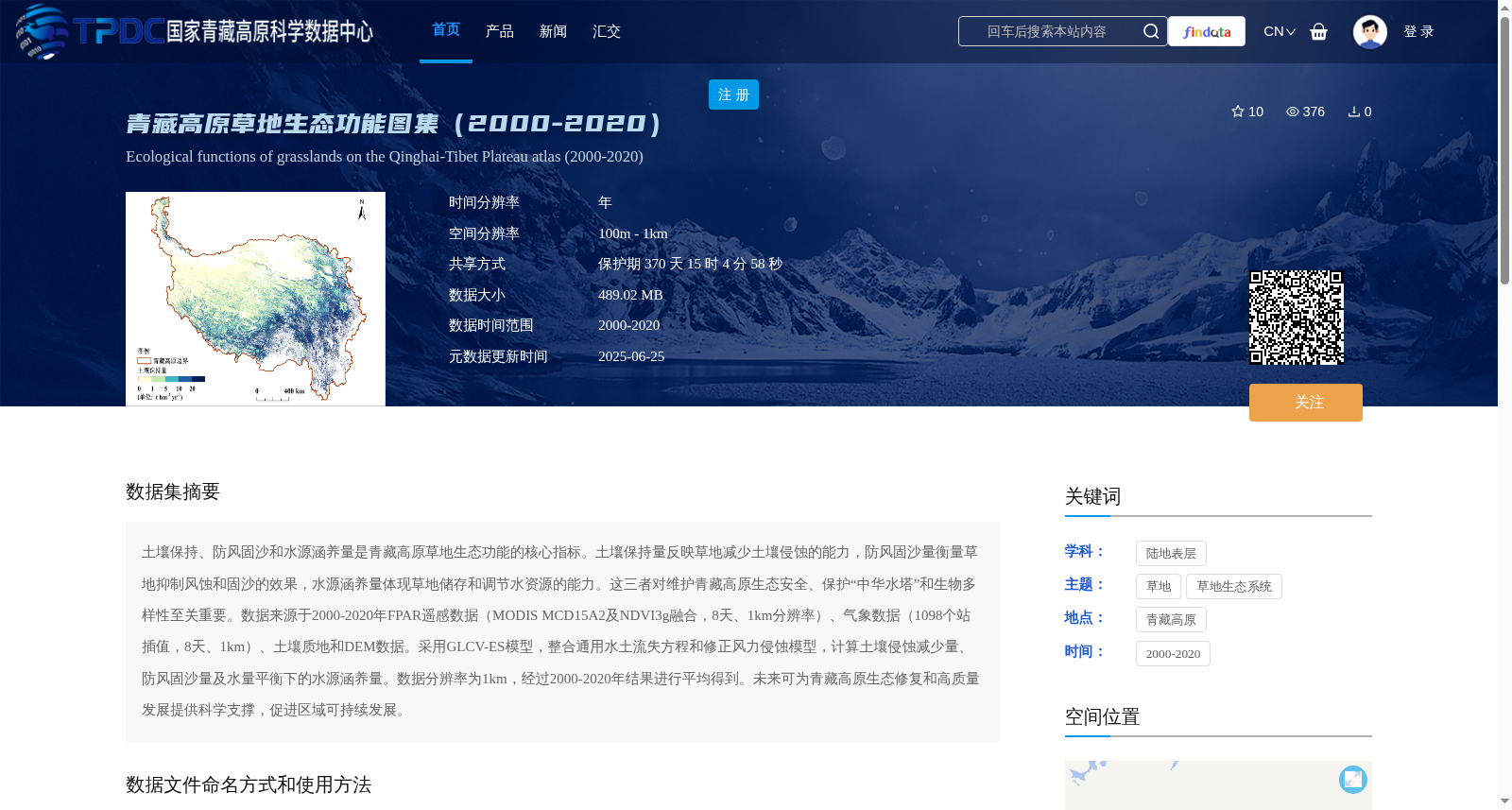
土壤保持、防风固沙和水源涵养量是青藏高原草地生态功能的核心指标。土壤保持量反映草地减少土壤侵蚀的能力,防风固沙量衡量草地抑制风蚀和固沙的效果,水源涵养量体现草地储存和调节水资源的能力。这三者对维护青藏高原生态安全、保护“中华水塔”和生物多样性至关重要。数据来源于2000-2020年FPAR遥感数据(MODIS MCD15A2及NDVI3g融合,8天、1km分辨率)、气象数据(1098个站插值,8天、1km)、土壤质地和DEM数据。采用GLCV-ES模型,整合通用水土流失方程和修正风力侵蚀模型,计算土壤侵蚀减少量、防风固沙量及水量平衡下的水源涵养量。数据分辨率为1km,经过2000-2020年结果进行平均得到。未来可为青藏高原生态修复和高质量发展提供科学支撑,促进区域可持续发展。
Soil conservation, windbreak and sand fixation, and water conservation are core indicators of grassland ecological functions on the Qinghai-Tibet Plateau. Soil conservation capacity reflects the ability of grasslands to reduce soil erosion; windbreak and sand fixation volume measures the effect of grasslands in suppressing wind erosion and fixing sand; and water conservation capacity embodies the ability of grasslands to store and regulate water resources. These three indicators are crucial for maintaining the ecological security of the Qinghai-Tibet Plateau, protecting the "China's Water Tower", and preserving biodiversity. The dataset is derived from FPAR remote sensing data (fused MODIS MCD15A2 and NDVI3g, 8-day temporal resolution, 1km spatial resolution) from 2000 to 2020, meteorological data (interpolated from 1098 meteorological stations, 8-day temporal resolution, 1km spatial resolution), as well as soil texture and DEM data. The GLCV-ES model was adopted, which integrates the Universal Soil Loss Equation and the modified wind erosion model, to calculate the reduced soil erosion amount, windbreak and sand fixation volume, and water conservation capacity under water balance. The dataset has a spatial resolution of 1km, and was generated by averaging the annual results from 2000 to 2020. This dataset can provide scientific support for ecological restoration and high-quality development of the Qinghai-Tibet Plateau in the future, and promote regional sustainable development.