青藏高原植被指数数据(2000-2018)
收藏国家青藏高原科学数据中心2021-04-19 更新2024-03-01 收录
下载链接:
https://data.tpdc.ac.cn/zh-hans/data/082aace5-a02b-4b58-ba07-8094e22a58d5
下载链接
链接失效反馈官方服务:
资源简介:
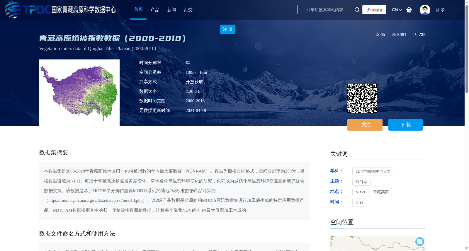
本数据集是2000-2018年青藏高原地区归一化植被指数的年内最大值数据(NDVI-AM)。数据为栅格TIFF格式,空间分辨率为250米,栅格数据值域为[-1,1]。可用于青藏高原植被覆盖度变化、草地退化等生态环境变化的研究,也可以为城镇化与生态环境交互胁迫研究提供数据支持。该数据是基于MODIS中分辨传感器MOD13系列的陆地2级标准数据产品计算的(https://modis.gsfc.nasa.gov/data/dataprod/mod13.php)。该2级产品数据是对原始的MODIS原始数据集进行加工后生成的特定应用数据产品。NDVI-AM数据根据其中的归一化植被指数珊格数据,计算每个像元NDVI的年内最大值而加工生成的。
This dataset is the annual maximum normalized difference vegetation index (NDVI-AM) data over the Qinghai-Tibet Plateau from 2000 to 2018. The data is stored in raster TIFF format, with a spatial resolution of 250 meters, and the value range of the raster data is [-1, 1]. This dataset can be employed for studies on ecological environmental changes such as vegetation coverage variation and grassland degradation over the Qinghai-Tibet Plateau, and can also provide data support for research on the interactive stress between urbanization and the ecological environment. This dataset was derived from the standard Level-2 land data products of the MOD13 series from the MODIS moderate-resolution sensor (https://modis.gsfc.nasa.gov/data/dataprod/mod13.php). These Level-2 products are targeted application data products generated by processing the raw MODIS dataset. The NDVI-AM data is produced by calculating the annual maximum NDVI value for each pixel using the normalized difference vegetation index raster data from the MOD13 Level-2 products.
提供机构:
杜云艳,易嘉伟
创建时间:
2019-11-22
搜集汇总
数据集介绍
背景与挑战
背景概述
该数据集为2000-2018年青藏高原地区归一化植被指数的年内最大值数据(NDVI-AM),空间分辨率为250米,数据格式为TIFF。数据基于MODIS中分辨传感器MOD13系列的陆地2级标准数据产品计算,适用于植被覆盖度变化、草地退化等生态环境变化研究。
以上内容由遇见数据集搜集并总结生成


