祁连山热喀斯特地貌分布数据
收藏资源简介:
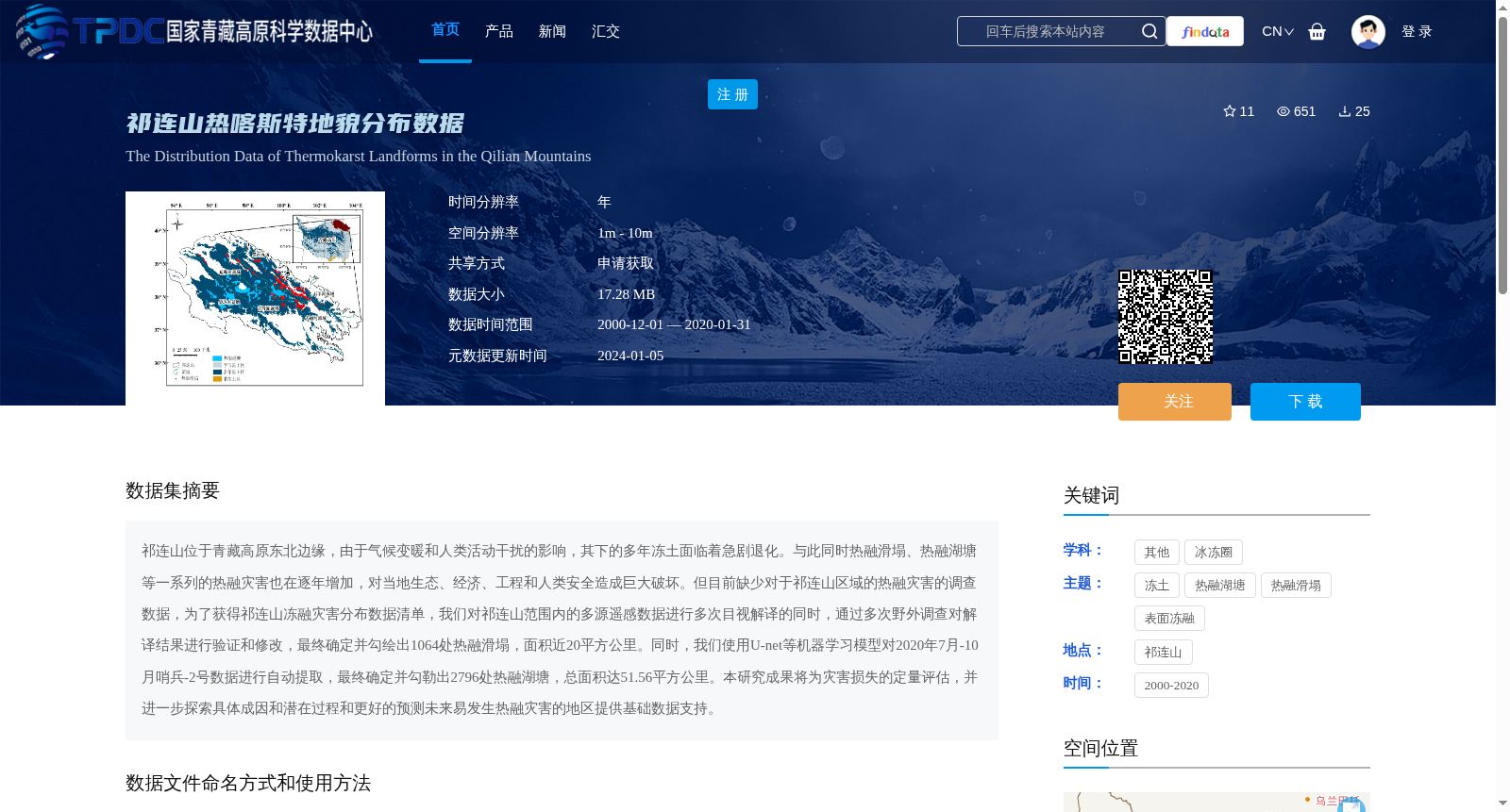
祁连山位于青藏高原东北边缘,由于气候变暖和人类活动干扰的影响,其下的多年冻土面临着急剧退化。与此同时热融滑塌、热融湖塘等一系列的热融灾害也在逐年增加,对当地生态、经济、工程和人类安全造成巨大破坏。但目前缺少对于祁连山区域的热融灾害的调查数据,为了获得祁连山冻融灾害分布数据清单,我们对祁连山范围内的多源遥感数据进行多次目视解译的同时,通过多次野外调查对解译结果进行验证和修改,最终确定并勾绘出1064处热融滑塌,面积近20平方公里。同时,我们使用U-net等机器学习模型对2020年7月-10月哨兵-2号数据进行自动提取,最终确定并勾勒出2796处热融湖塘,总面积达51.56平方公里。本研究成果将为灾害损失的定量评估,并进一步探索具体成因和潜在过程和更好的预测未来易发生热融灾害的地区提供基础数据支持。
The Qilian Mountains are situated at the northeastern edge of the Tibetan Plateau. Affected by climate warming and human disturbances, the permafrost beneath the region is undergoing severe degradation. Meanwhile, a series of thermokarst disasters including thermokarst slumps and thermokarst lakes have been increasing year by year, causing tremendous damage to local ecology, economy, engineering construction and human safety. However, there is a lack of systematic survey data on thermokarst disasters in the Qilian Mountains area. To obtain an inventory of thermokarst disaster distribution data in the Qilian Mountains, we conducted multiple visual interpretations on multi-source remote sensing data within the scope of the Qilian Mountains, and verified and revised the interpretation results through multiple field surveys. Finally, we identified and delineated 1064 thermokarst slumps, covering an area of nearly 20 square kilometers. In addition, we used machine learning models such as U-net to perform automated extraction on Sentinel-2 data from July to October 2020, and finally identified and delineated 2796 thermokarst lakes, with a total area of 51.56 square kilometers. The findings of this study will provide basic data support for quantitative assessment of disaster losses, further exploration of specific causes and underlying processes, and better prediction of areas prone to thermokarst disasters in the future.