内蒙古自治区1:25万1km2以上湖泊空间分布数据集(2005-2006年)
收藏国家地球系统科学数据中心2018-06-12 更新2024-03-04 收录
下载链接:
https://www.geodata.cn/data/datadetails.html?dataguid=3698675534787&docId=20413
下载链接
链接失效反馈官方服务:
资源简介:
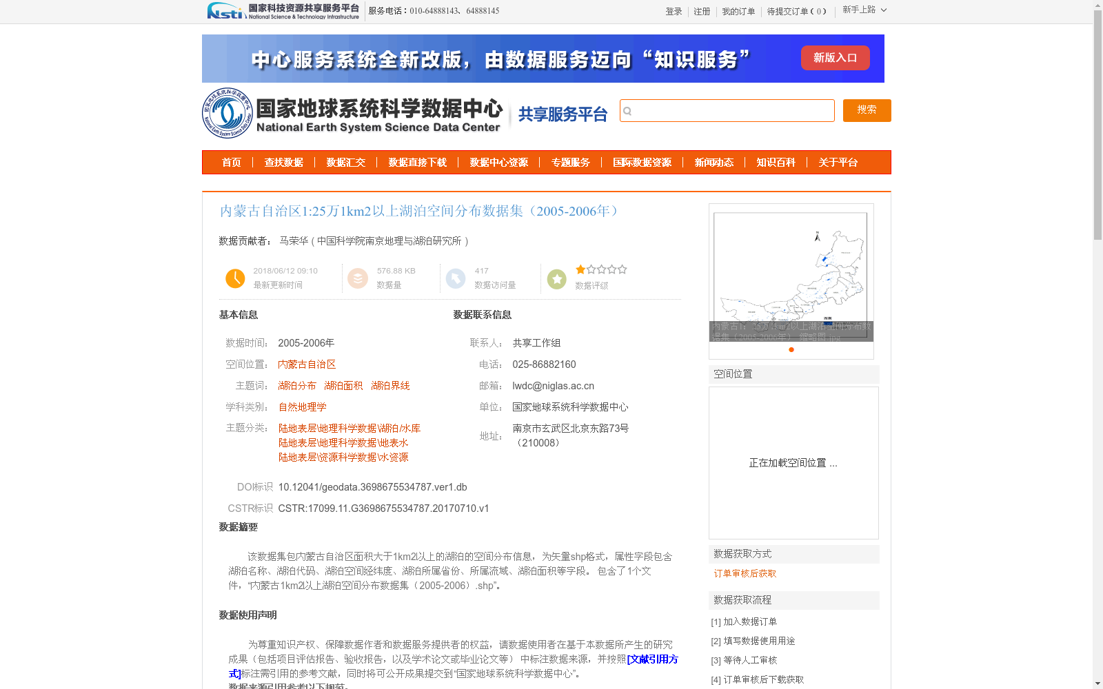
该数据集包内蒙古自治区面积大于1km2以上的湖泊的空间分布信息,为矢量shp格式,属性字段包含湖泊名称、湖泊代码、湖泊空间经纬度、湖泊所属省份、所属流域、湖泊面积等字段。 包含了1个文件,“内蒙古1km2以上湖泊空间分布数据集(2005-2006).shp”。
This dataset contains spatial distribution information of lakes with an area of ≥1 km² in the Inner Mongolia Autonomous Region, and is stored in vector shapefile (SHP) format. Its attribute fields include lake name, lake code, spatial longitude and latitude coordinates of each lake, the province where the lake is located, the river basin the lake belongs to, lake area, and other relevant fields. The dataset includes one file named "Inner Mongolia Lakes with Area ≥1 km² Spatial Distribution Dataset (2005-2006).shp".
提供机构:
中国科学院南京地理与湖泊研究所
创建时间:
2017-07-10
搜集汇总
数据集介绍
背景与挑战
背景概述
该数据集提供了2005-2006年内蒙古自治区面积大于1平方公里的湖泊空间分布信息,以矢量shp格式存储,包含湖泊名称、代码、经纬度、面积等属性字段。数据基于遥感影像和地形图人工解译生成,采用albers投影,是国内权威的湖泊资源数据,适用于地理、环境和水资源研究。
以上内容由遇见数据集搜集并总结生成


