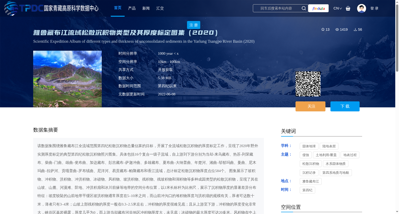
雅鲁藏布江流域松散沉积物类型及其厚度标定图集(2020)
收藏国家青藏高原科学数据中心2022-06-08 更新2024-03-06 收录
下载链接:
https://data.tpdc.ac.cn/zh-hans/data/d5c5116e-4386-4470-9065-3a5dc8687522
下载链接
链接失效反馈官方服务:
资源简介:
该数据集围绕雅鲁藏布江全流域范围第四纪松散沉积物总量估算的目标,开展了全流域松散沉积物的厚度标定工作,呈现了2020年野外实测厚度标定的典型第四纪松散沉积物照片图集。具体包括16个复合一级子流域,自上游到下游分别为当却-来乌藏布、热苏-列荣藏布、柴曲–门曲、雄曲–瓮布曲、加达藏布、彭吉藏布–萨迦冲曲、多雄藏布、夏布曲–大纳普曲、年楚河、湘曲–邬郁玛曲、曼曲、尼木玛曲–拉萨河、贡嘎普曲–罗布绒曲、尼洋河、易贡藏布–帕隆藏布和香江流域,总计标定松散沉积物厚度点位584个。
图集展示了坡积物、冲积物、洪积物、冲洪积物、冰碛物、风积物、坡洪积物、残积物、残坡积物和湖积物等多种成因类型的松散沉积物,呈现了其在山坡、山麓、河漫滩、阶地、冲洪积扇和冰川前缘等地带的空间分布位置,以1米长标杆为比例尺,展示了沉积物厚度的显著差异分布特征:坡度较陡的山前地带平缓区坡洪积物通常厚度在5–10米之间,而山前冲沟口的堆积物厚度与洪积扇的规模有关,厚者可达数十米,薄者只有3–4米;山坡上部残积物的厚度一般在0.3–2.5米左右,冲积物的厚度很难见底;且从上游至下游,冲积物的厚度变化非常大,峡谷区基岩裸露,厚度几乎为0,而上游当却藏布河谷地区冲积物厚度大,未见底;冰碛物的最大厚度可达20多米。风积物在中上游常见,厚度变化范围较大,从几米到 20多米不等。
该图集提供了涵盖全流域范围的松散沉积物的实例照片,为今后开展松散沉积物精细刻画奠定了材料基础和先验知识,初步展示了雅江全流域的松散沉积物类型与厚度的总体分布规律,为估算雅鲁藏布江流域所产生固体碎屑物质的沉积总量提供了数据支撑,也为评估松散沉积物相关自然灾害风险和制定科学防范措施提供了依据。
This dataset targets the estimation of the total volume of Quaternary loose sediments across the entire Yarlung Zangbo River basin. It conducted thickness calibration of loose sediments throughout the entire basin, and presents a photo atlas of typical Quaternary loose sediments with field-measured thickness values calibrated in 2020. The dataset covers 16 composite primary sub-basins, listed from upstream to downstream as follows: Dangque-Laiwu Zangbo, Resu-Lierong Zangbo, Chaiqu-Menqu, Xiongqu-Wengbuqu, Jiada Zangbo, Pengji Zangbo-Sajiachongqu, Duoxiong Zangbo, Xiaqu-Danapuqu, Nianchu River, Xiangqu-Wuyumaqu, Manqu, Nimumaqu-Lhasa River, Gonggapuqu-Luoburongqu, Nyang River, Yigong Zangbo-Palong Zangbo, and Xiangjiang River Basin. A total of 584 calibration points for loose sediment thickness were established across these basins.
The atlas displays loose sediments of various genetic types, including colluvial deposits, alluvial deposits, proluvial deposits, alluvial-proluvial deposits, morainic deposits, aeolian deposits, slope-proluvial deposits, eluvial deposits, eluvial-colluvial deposits, and lacustrine deposits. It shows their spatial distribution in various landforms such as slopes, piedmont zones, floodplains, terraces, alluvial-proluvial fans, and glacial fronts, with a 1-meter-long benchmark as the scale, highlighting the significant differences in sediment thickness: slope-proluvial deposits in gentle areas of steep piedmont zones typically have a thickness of 5–10 meters; deposits at piedmont gully mouths vary in thickness with the size of alluvial-proluvial fans, ranging from 3–4 meters to tens of meters; eluvial deposits on upper slopes generally range from 0.3–2.5 meters in thickness, while the thickness of alluvial deposits is often difficult to determine down to bedrock; alluvial deposits vary greatly along the river from upstream to downstream, with bedrock exposed in canyon areas with almost zero sediment thickness, whereas the alluvial deposits in the upstream Dangque Zangbo River valley are extremely thick with unknown bottom depth; morainic deposits can reach a maximum thickness of over 20 meters; aeolian deposits are common in the middle and upper reaches, with thickness ranging from several meters to over 20 meters.
This photo atlas provides representative photos of loose sediments covering the entire basin, laying a material foundation and prior knowledge for future fine-scale characterization of loose sediments. It preliminarily demonstrates the overall distribution patterns of loose sediment types and thicknesses across the entire Yarlung Zangbo River basin, providing data support for estimating the total sediment yield of solid clastic materials in the basin, as well as a scientific basis for assessing natural disaster risks related to loose sediments and formulating targeted prevention and mitigation measures.
提供机构:
林志鹏,王成善,韩中鹏,白雅俪格,王新航,胡太宇
创建时间:
2022-05-21
搜集汇总
数据集介绍
背景与挑战
背景概述
该数据集是2020年雅鲁藏布江全流域松散沉积物的野外实测图集,覆盖16个子流域和584个厚度标定点位,以照片形式展示了多种成因类型的沉积物及其空间分布和厚度差异。它旨在为松散沉积物精细刻画、总量估算和自然灾害风险评估提供数据支撑,时间范围涵盖第四纪以来,空间分辨率为10-100公里,数据以PDF格式开放共享。
以上内容由遇见数据集搜集并总结生成


