Mendenhall Glacier / Suicide Basin outburst flood data, 2018-2019
收藏DataONE2020-04-17 更新2024-06-08 收录
下载链接:
https://search.dataone.org/view/doi:10.18739/A2GT5FG0B
下载链接
链接失效反馈官方服务:
资源简介:
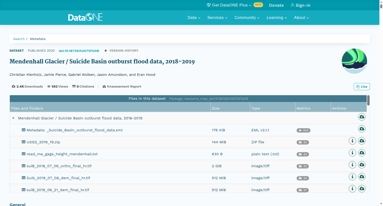
Mendenhall Glacier, Alaska, has been experiencing annual outburst floods that originate from Suicide Basin, an ice marginal basin. As part of a project aimed at understanding the dynamics of these floods and the threat that they pose, we collected (1) aerial imagery from an unmanned aerial vehicle that was used to construct orthomosaics, digital elevation models, and velocity fields of the ice-choked basin, (2) LIDAR data that was used to construct additional digital elevation models, (3) photos from the Alaska High-Altitude Aerial Photography project (AHAP) that was used to construct an orthomosaic, (4) glacier mass balance measurements, (5) meteorological data, and (6) water level measurements of the water in Suicide Basin.
阿拉斯加门登霍尔冰川(Mendenhall Glacier)长期遭受年度溃决洪水侵扰,此类洪水源自冰缘盆地自杀盆地(Suicide Basin)。作为一项旨在厘清这类洪水的动力学机制及其所带来的潜在威胁的研究项目的组成部分,我们采集了如下六类数据:1. 无人机(unmanned aerial vehicle)航拍影像:依托该类影像可构建受冰体阻塞的该盆地的正射影像镶嵌图(orthomosaics)、数字高程模型(digital elevation models)与流速场;2. 激光雷达(LIDAR)数据:用于生成额外的数字高程模型;3. 阿拉斯加高空航拍项目(Alaska High-Altitude Aerial Photography, AHAP)所获取的航拍照片:以此制作正射影像镶嵌图(orthomosaic);4. 冰川物质平衡(glacier mass balance)观测数据;5. 气象观测数据;6. 自杀盆地(Suicide Basin)内水体的水位监测数据。
创建时间:
2020-04-17
搜集汇总
数据集介绍
以上内容由遇见数据集搜集并总结生成


