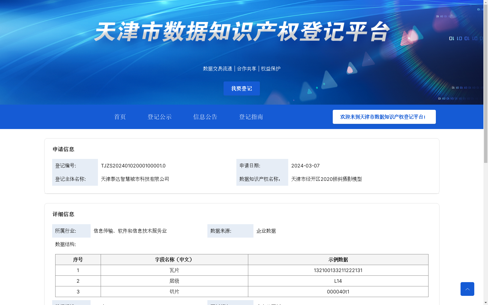
天津市经开区2020倾斜摄影模型
收藏资源简介:
分辨率根据需要数据展示的分辨率,将地图划分为不同的层级。每个层级的分辨率比前一个层级低一半,直到最小分辨率满足需求。空间范围根据倾斜摄影三维模型覆盖的实际空间范围,将地图划分为不同的区域,以便于进行实时加载和渲染。模型飞行测绘时间分辨率为2cm,平面坐标系为 CGCS2000坐标系,高斯投影,中央子午线:117°00′00″;高程坐标系为1985国家高程基准,数据成果为OSGB格式。每个层级下的数据都被划分为若干个块,每个块由一个或多个文件组成。每个文件包含一部分地图数据和元数据信息,提高数据读取速度和效率,减少内存占用和加载时间。
The map is divided into multiple levels based on the required display resolution. Each subsequent level has half the resolution of the previous one, until the minimum resolution meets the specified requirements. The map is further divided into different regions according to the actual spatial coverage of the oblique photogrammetry 3D model, to facilitate real-time loading and rendering. The spatial resolution of the model's aerial photogrammetric survey is 2 cm. The planar coordinate system adopts CGCS2000 with Gauss-Krüger projection, and the central meridian is set at 117°00′00″. The elevation coordinate system follows the 1985 National Elevation Datum, and all data outputs are in OSGB format. The data under each level is divided into several blocks, with each block composed of one or more files. Each file contains a portion of the map data and metadata, which improves data reading speed and efficiency, while reducing memory usage and loading time.