1990–2025年中国30米分辨率水稻种植分布数据集
收藏国家生态科学数据中心2025-05-03 收录
下载链接:
http://www.nesdc.org.cn/sdo/detail?id=681089cb7e28174acd118301
下载链接
链接失效反馈官方服务:
资源简介:
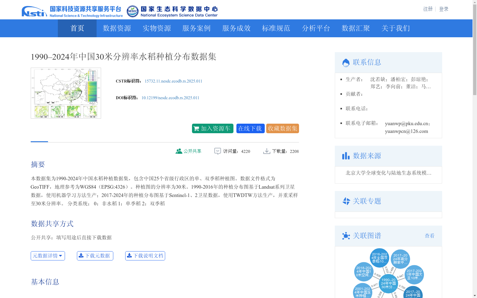
本数据集为1990-2025年中国水稻种植数据集,包含中国25个省级行政区的单、双季稻种植图。数据文件格式为GeoTIFF,地理参考为WGS84(EPSG:4326)。种植图的分辨率为30米。1990-2016年的种植分布图基于Landsat系列卫星数据,使用机器学习方法生产;2017-2024年的种植分布图基于Sentinel-1、2卫星数据,使用TWDTW方法生产,并重采样至30米分辨率。
分类系统:
0:非水稻
1:单季稻
2:双季稻
This dataset is a rice cultivation dataset of China covering the period from 1990 to 2025, which includes single-cropping and double-cropping rice cultivation maps across 25 provincial-level administrative regions in China. The data files are in GeoTIFF format, with the geographic reference being WGS84 (EPSG:4326). The cultivation maps have a spatial resolution of 30 meters.
The cultivation distribution maps for 1990–2016 were generated using machine learning methods based on Landsat series satellite data; the maps for 2017–2024 were generated using the TWDTW method based on Sentinel-1 and Sentinel-2 satellite data, and resampled to a 30-meter spatial resolution.
Classification system:
0: Non-rice land
1: Single-cropping rice
2: Double-cropping rice
提供机构:
团队
创建时间:
2024-04-28
搜集汇总
数据集介绍
背景与挑战
背景概述
本数据集是1990-2024年中国30米分辨率水稻种植分布数据集,覆盖全国25个省级行政区,以GeoTIFF格式提供单季稻和双季稻的分类信息。数据集具有长时序和高分辨率特点,其中1990-2016年数据基于Landsat卫星和机器学习方法生成,2017-2024年数据则采用Sentinel卫星和TWDTW方法生产并重采样至30米分辨率,反映了遥感技术在水稻监测中的演进与应用。
以上内容由遇见数据集搜集并总结生成


