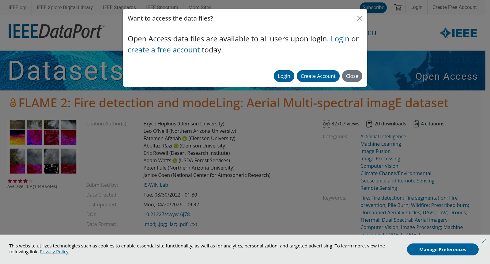
FLAME 2: Fire detection and modeLing: Aerial Multi-spectral imagE dataset
收藏ieee-dataport.org2025-03-23 收录
下载链接:
https://ieee-dataport.org/open-access/flame-2-fire-detection-and-modeling-aerial-multi-spectral-image-dataset
下载链接
链接失效反馈官方服务:
资源简介:
Drone based wildfire detection and modeling methods enable high-precision, real-time fire monitoring that is not provided by traditional remote fire monitoring systems, such as satellite imaging. Precise, real-time information enables rapid, effective wildfire intervention and management strategies. Drone systems’ ease of deployment, omnidirectional maneuverability, and robust sensing capabilities make them effective tools for early wildfire detection and evaluation, particularly so in environments that are inconvenient for humans and/or terrestrial vehicles. Development of emerging drone-based fire monitoring systems has been inhibited by a lack of well-annotated, high quality aerial wildfire datasets, largely as a result of UAV flight regulations for prescribed burns and wildfires. The included dataset provides a collection of side-by-side infrared and visible spectrum video pairs taken by drones during an open canopy prescribed fire in Northern Arizona in 2021. The frames have been classified by two independent classifiers with two binary classifications. The Fire label is applied when the classifiers visually observe indications of fire in either RGB or IR frame for each frame pair. The Smoke label is applied when the classifiers visually estimate that at least 50% of the RGB frame is filled with smoke. To provide additional context to the main dataset’s aerial imagery, the provided supplementary dataset includes weather information, the prescribed burn plan, a geo-referenced RGB point cloud of the preburn area, an RGB orthomosaic of the preburn area, and links to further information.
基于无人机平台的野火检测与建模方法,实现了比传统卫星遥感系统更为精准的实时火情监控。此类精确、实时的信息,有助于迅速、有效地实施野火干预和管理策略。无人机系统的便捷部署、全方位的机动性和强大的感知能力,使其成为早期野火探测和评估的有效工具,尤其是在不适宜人类和地面车辆进入的环境中。然而,由于无人机在规定燃烧和野火中的飞行规定,缺乏标注精细、质量上乘的空中野火数据集,阻碍了新兴无人机火情监测系统的发展。本数据集收录了2021年在亚利桑那州北部进行开放式冠层规定燃烧期间,无人机拍摄的侧面红外和可见光光谱视频对。这些帧图像由两位独立的分类器进行了分类,并进行了二元分类。当分类器在每帧图像对中视觉上观察到RGB或红外帧中的火情迹象时,应用“火”标签。当分类器视觉估计RGB帧至少有50%被烟雾填满时,应用“烟雾”标签。为了为主数据集的空中影像提供额外的背景信息,所提供的补充数据集包括天气信息、规定燃烧计划、燃烧前区域的地理参考RGB点云、燃烧前区域的RGB正射影像,以及进一步信息的链接。
提供机构:
ieee-dataport.org
搜集汇总
数据集介绍
背景与挑战
背景概述
FLAME 2数据集是一个高质量的无人机多光谱图像集合,专门用于野火检测和建模研究。数据集提供了红外和可见光视频对,以及经过专家标注的帧对,用于火灾和烟雾的二元分类。此外,数据集还包括天气信息、燃烧计划和地理参考点云等补充数据,为研究提供了全面的上下文支持。
以上内容由遇见数据集搜集并总结生成


