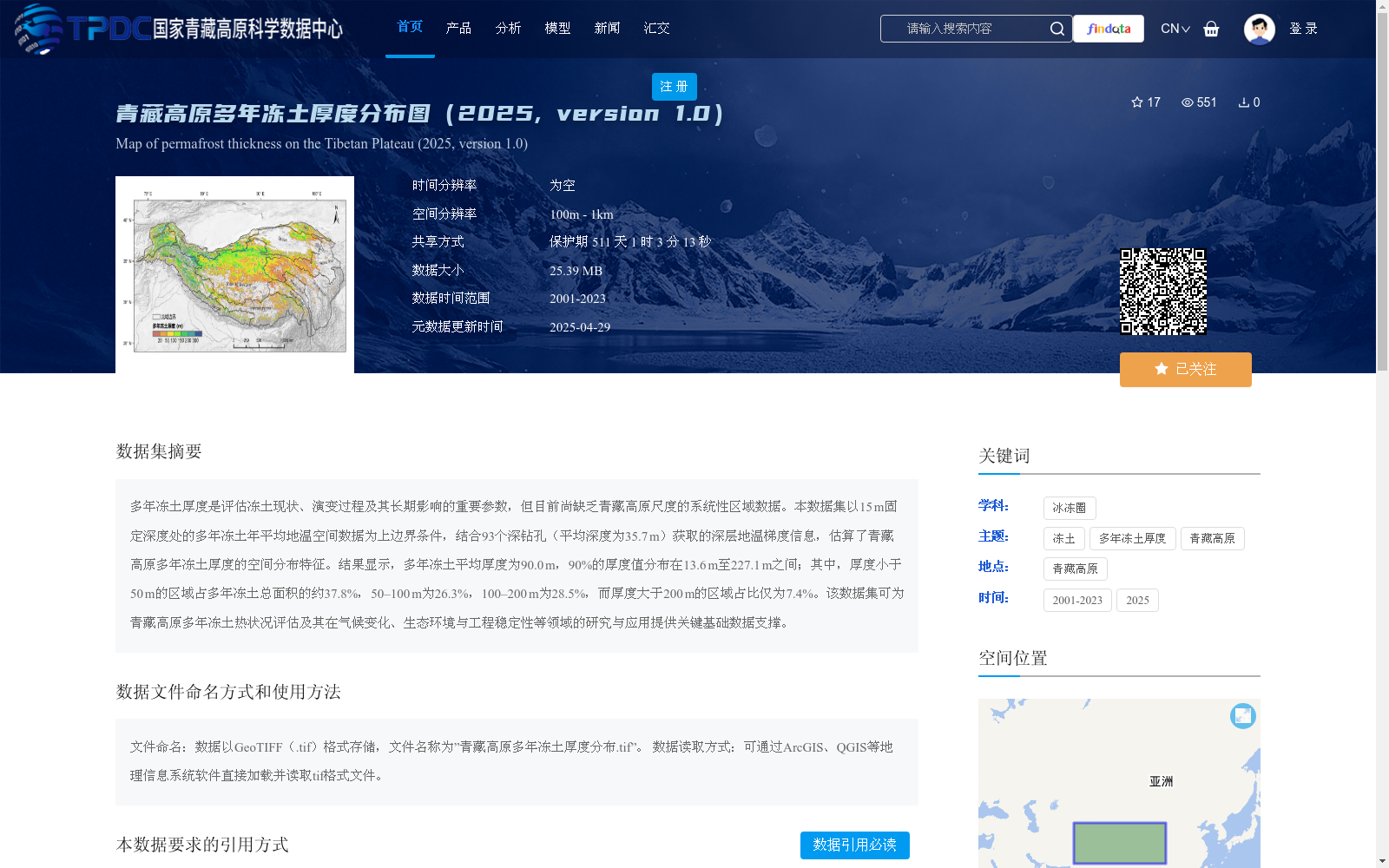
青藏高原多年冻土厚度分布图(2025, version 1.0)
收藏资源简介:
多年冻土厚度是评估冻土现状、演变过程及其长期影响的重要参数,但目前尚缺乏青藏高原尺度的系统性区域数据。本数据集以15 m固定深度处的多年冻土年平均地温空间数据为上边界条件,结合93个深钻孔(平均深度为35.7 m)获取的深层地温梯度信息,估算了青藏高原多年冻土厚度的空间分布特征。结果显示,多年冻土平均厚度为90.0 m,90%的厚度值分布在13.6 m至227.1 m之间;其中,厚度小于50 m的区域占多年冻土总面积的约37.8%,50–100 m为26.3%,100–200 m为28.5%,而厚度大于200 m的区域占比仅为7.4%。该数据集可为青藏高原多年冻土热状况评估及其在气候变化、生态环境与工程稳定性等领域的研究与应用提供关键基础数据支撑。
Permafrost thickness is a critical parameter for evaluating the current status, evolutionary processes, and long-term impacts of frozen ground, yet systematic regional-scale data at the Tibetan Plateau scale are currently lacking. This dataset estimates the spatial distribution characteristics of permafrost thickness on the Tibetan Plateau, using spatial data of annual mean ground temperature at a fixed depth of 15 m as the upper boundary condition, combined with deep geothermal gradient information obtained from 93 deep boreholes with an average depth of 35.7 m. The results show that the average permafrost thickness is 90.0 m, with 90% of the thickness values ranging from 13.6 m to 227.1 m. Specifically, areas with permafrost thickness less than 50 m account for approximately 37.8% of the total permafrost area, 26.3% for the 50–100 m interval, 28.5% for the 100–200 m interval, and only 7.4% for areas with thickness greater than 200 m. This dataset provides critical foundational data support for the assessment of permafrost thermal conditions on the Tibetan Plateau, as well as for research and applications in fields such as climate change, ecological environment, and engineering stability.