凉山州木里县项脚沟1:1万泥石流流深分布数据集(2022年)
收藏国家地球系统科学数据中心2024-06-05 更新2024-08-03 收录
下载链接:
https://www.geodata.cn/data/datadetails.html?dataguid=3789647971588&docId=3101
下载链接
链接失效反馈官方服务:
资源简介:
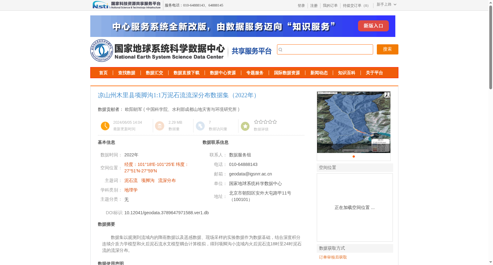
数据集以观测到流域内的降雨数据以及遥感数据、现场采样的实验数据作为数据基础,结合深度积分连续介质力学模型和火后泥石流水文模型耦合计算模拟,得到项脚沟小流域内火后泥石流18时至24时泥石流的流深分布。
This dataset is established on observed rainfall data, remote sensing data and field-sampled experimental data within the watershed. Coupled computational simulations integrating the depth-integrated continuum mechanics model and post-wildfire debris flow hydrological model are utilized to derive the flow depth distribution of post-wildfire debris flows in the small Xiangjiaogou watershed during the time frame from 18:00 to 24:00.
提供机构:
中国科学院、水利部成都山地灾害与环境研究所
创建时间:
2024-06-05
搜集汇总
数据集介绍
背景与挑战
背景概述
该数据集是针对2022年四川省凉山州木里县项脚沟小流域的火后泥石流事件,通过耦合深度积分连续介质力学模型和火后泥石流水文模型,模拟计算得出18时至24时的泥石流流深分布图,比例尺为1:1万,空间范围覆盖经度101°18′E-101°25′E、纬度27°51′N-27°59′N。数据集基于观测降雨、遥感数据和现场采样实验数据生成,属于地理学领域,旨在为泥石流灾害研究和风险评估提供科学数据支持。
以上内容由遇见数据集搜集并总结生成


