
Fire Weather Index - ERA-Interim
收藏Mendeley Data2024-06-25 更新2024-06-27 收录
下载链接:
https://zenodo.org/record/3251000
下载链接
链接失效反馈官方服务:
资源简介:
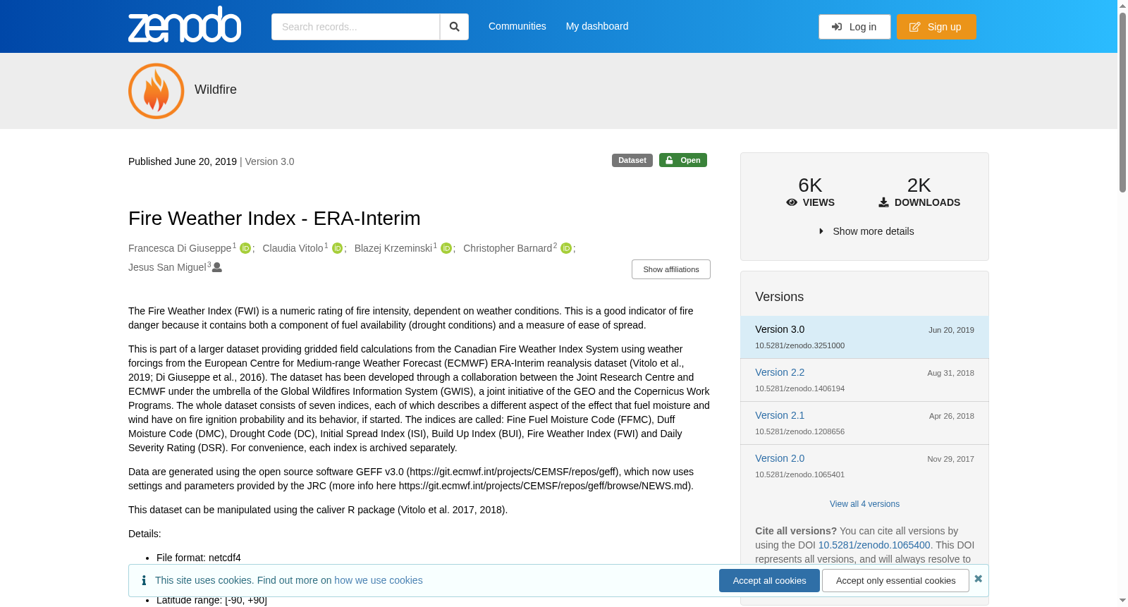
The Fire Weather Index (FWI) is a numeric rating of fire intensity, dependent on weather conditions. This is a good indicator of fire danger because it contains both a component of fuel availability (drought conditions) and a measure of ease of spread. This is part of a larger dataset providing gridded field calculations from the Canadian Fire Weather Index System using weather forcings from the European Centre for Medium-range Weather Forecast (ECMWF) ERA-Interim reanalysis dataset (Vitolo et al., 2019; Di Giuseppe et al., 2016). The dataset has been developed through a collaboration between the Joint Research Centre and ECMWF under the umbrella of the Global Wildfires Information System (GWIS), a joint initiative of the GEO and the Copernicus Work Programs. The whole dataset consists of seven indices, each of which describes a different aspect of the effect that fuel moisture and wind have on fire ignition probability and its behavior, if started. The indices are called: Fine Fuel Moisture Code (FFMC), Duff Moisture Code (DMC), Drought Code (DC), Initial Spread Index (ISI), Build Up Index (BUI), Fire Weather Index (FWI) and Daily Severity Rating (DSR). For convenience, each index is archived separately. Data are generated using the open source software GEFF v3.0 (https://git.ecmwf.int/projects/CEMSF/repos/geff), which now uses settings and parameters provided by the JRC (more info here https://git.ecmwf.int/projects/CEMSF/repos/geff/browse/NEWS.md). This dataset can be manipulated using the caliver R package (Vitolo et al. 2017, 2018). Details: File format: netcdf4 Coordinate system: World Geodetic System 1984 (also known as WGS 1984, EPSG:4326). Longitude range: [-180, +180] Latitude range: [-90, +90] Temporal resolution: 1 day Spatial resolution: 0.7 degrees (~80 Km) Spatial coverage: Global Time span: from 1980-01-01 to 2018-12-31
创建时间:
2023-06-28
搜集汇总
数据集介绍
背景与挑战
背景概述
该数据集是一个全球性的火灾天气指数数据集,提供了1980年至2018年间的每日数据,空间分辨率为0.7度,用于评估火灾危险程度。数据集基于加拿大火灾天气指数系统,使用ECMWF ERA-Interim再分析数据计算得出,包含七个不同的指数,分别描述燃料湿度和风对火灾发生概率和行为的影向。
以上内容由遇见数据集搜集并总结生成



