Processed EM712 Acoustic Backscatter and Swath Bathymetry data from R/V Gaia Blu cruise Jamme Gaia22 (2022)
收藏DataCite Commons2025-01-25 更新2024-07-13 收录
下载链接:
https://www.marine-geo.org/doi/10.60521/331587
下载链接
链接失效反馈官方服务:
资源简介:
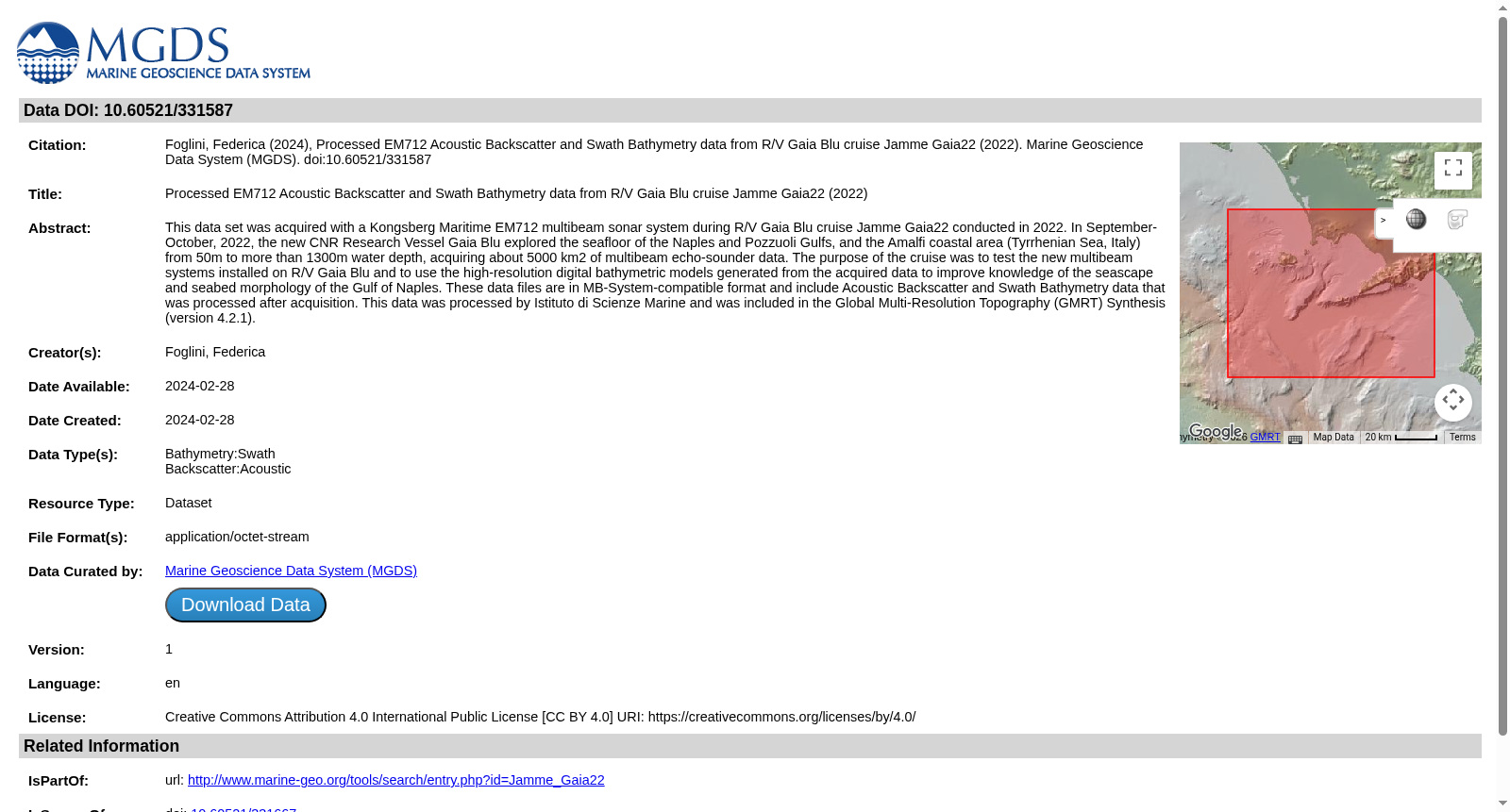
This data set was acquired with a Kongsberg Maritime EM712 multibeam sonar system during R/V Gaia Blu cruise Jamme Gaia22 conducted in 2022. In September-October, 2022, the new CNR Research Vessel Gaia Blu explored the seafloor of the Naples and Pozzuoli Gulfs, and the Amalfi coastal area (Tyrrhenian Sea, Italy) from 50m to more than 1300m water depth, acquiring about 5000 km2 of multibeam echo-sounder data. The purpose of the cruise was to test the new multibeam systems installed on R/V Gaia Blu and to use the high-resolution digital bathymetric models generated from the acquired data to improve knowledge of the seascape and seabed morphology of the Gulf of Naples. These data files are in MB-System-compatible format and include Acoustic Backscatter and Swath Bathymetry data that was processed after acquisition. This data was processed by Istituto di Scienze Marine and was included in the Global Multi-Resolution Topography (GMRT) Synthesis (version 4.2.1).
本数据集由康斯伯格海事(Kongsberg Maritime)EM712多波束声呐系统采集获取,采集工作依托2022年执行的嘉亚蓝号研究船(R/V Gaia Blu)Jamme Gaia22航次开展。2022年9至10月,全新的CNR嘉亚蓝号研究船对意大利第勒尼安海那不勒斯湾、波佐利湾及阿玛菲沿岸海域开展海底探测,作业水深覆盖50米至1300余米,累计采集约5000平方千米的多波束测深数据。本次航次的核心目标包括两项:一是对安装于嘉亚蓝号研究船上的新型多波束系统进行性能测试;二是依托采集所得数据生成高分辨率数字水深模型,以深化对那不勒斯湾海域景观与海底地貌的认知。本数据集文件采用兼容MB-System的格式存储,包含采集后经处理的声学背散射(Acoustic Backscatter)数据与条带测深(Swath Bathymetry)数据。本数据集由意大利海洋科学研究所(Istituto di Scienze Marine)完成数据处理,并被纳入全球多分辨率地形(Global Multi-Resolution Topography, GMRT)合成数据集(版本4.2.1)。
提供机构:
Marine Geoscience Data System (MGDS)
创建时间:
2024-02-29
搜集汇总
数据集介绍
背景与挑战
背景概述
该数据集包含2022年意大利第勒尼安海区域的声学反向散射和条带测深数据,使用Kongsberg Maritime EM712多波束声纳系统采集,覆盖约5000平方公里海域,水深50-1300米。数据已处理为MB-System兼容格式,旨在提升海底地形认知,并集成到全球多分辨率地形合成中。
以上内容由遇见数据集搜集并总结生成


