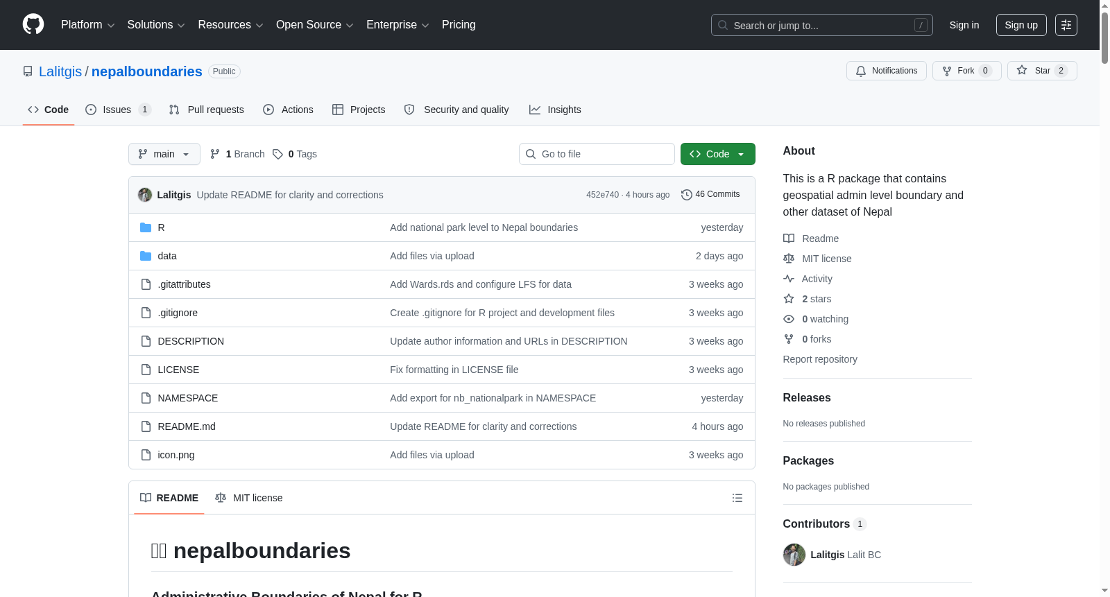
nepalboundaries
收藏资源简介:
该数据集提供尼泊尔的多级行政边界数据,包括国家、省份、区、市、选区、区首府、省首府以及保护区和国家公园的边界,适用于空间分析、地图绘制、可视化和地理空间工作流,支持R和Python环境,数据采用WGS84投影(EPSG:4326),并兼容多种导出格式(如GeoJSON、GPKG、Shapefile)。
This dataset provides multi-level administrative boundary data for Nepal, including national boundaries, provinces, districts, municipalities, constituencies, district capitals, provincial capitals, as well as protected areas and national parks. It is suitable for spatial analysis, cartography, visualization and geospatial workflows, supports R and Python environments, adopts the WGS84 projection (EPSG:4326), and is compatible with multiple export formats such as GeoJSON, GPKG and Shapefile.
🇳🇵 nepalboundaries:尼泊尔行政边界数据集
数据集概述
nepalboundaries 是一个专注于尼泊尔行政边界的数据集,提供多层级行政边界数据,支持 R 和 Python 环境下的空间分析、地图制作和地理空间工作流。
行政层级结构
数据集涵盖以下级别:
- 国家(Country)
- 省(Province)
- 县(District)
- 市(Municipality)
- 区(Ward)
- 县首府(District headquarter)
- 省首府(Province headquarter)
- 保护区和国家公园(Protected Areas and National Park)
尼泊尔行政结构为:
Nepal ├── 7 Provinces │ ├── 77 Districts │ │ ├── 753 Municipalities │ │ └── Protected Areas │ │ └── ~6,743 Wards
主要功能
- 提供多级行政边界数据
- 支持按省、县、市或区进行筛选
- 标准化空间数据集
- 使用 WGS84 投影(EPSG:4326)
- 兼容
sf、leaflet、ggplot2等 R 包 - 支持多种导出格式(GeoJSON、GPKG、Shapefile)
- R 和 Python 具有一致的 API
可用函数
| 函数 | 描述 |
|---|---|
nb_country() |
尼泊尔国家边界 |
nb_province() |
省边界 |
nb_district() |
县边界 |
nb_municipality() |
市边界 |
nb_ward() |
区边界 |
nb_nationalpark() |
国家公园和保护区的边界 |
nb_get_multiple() |
多级行政边界 |
nb_summary() |
摘要统计信息 |
筛选示例
- 获取单个省:
nb_province(province = "Bagmati") - 获取省内各县:
nb_district(province = "Koshi") - 获取县内各市:
nb_municipality(district = "Kathmandu") - 获取市内各区:
nb_ward(municipality = "Pokhara")
数据导出格式
- Shapefile(
.shp) - GeoJSON(
.geojson) - GeoPackage(
.gpkg) - CSV(不含几何信息)
安装方式
R 包: r remotes::install_github("Lalitgis/nepalboundaries")
数据集属性
- 数据结构:R 包内置
.rds文件(通过data_preparation_R.R生成) - 坐标参考系统:WGS84(EPSG:4326)
- 许可证:MIT License
引用方式
bibtex @software{nepalboundaries2026, title={nepalboundaries: Administrative Boundaries of Nepal}, author={Lalit BC}, year={2026}, url={https://github.com/Lalitgis/nepalboundaries} }
相关资源
致谢
- 尼泊尔测量局
- 尼泊尔行政边界贡献者
- R 地理空间社区
sf、leaflet、ggplot2及相关库的开发者