青藏高原农业生产经营管理历史数据集-西藏自治区农田有效灌溉面积(1995-2018)
收藏国家青藏高原科学数据中心2023-02-21 更新2024-03-06 收录
下载链接:
https://data.tpdc.ac.cn/zh-hans/data/17e92ec6-992b-479a-b12d-50cb18b806d6
下载链接
链接失效反馈官方服务:
资源简介:
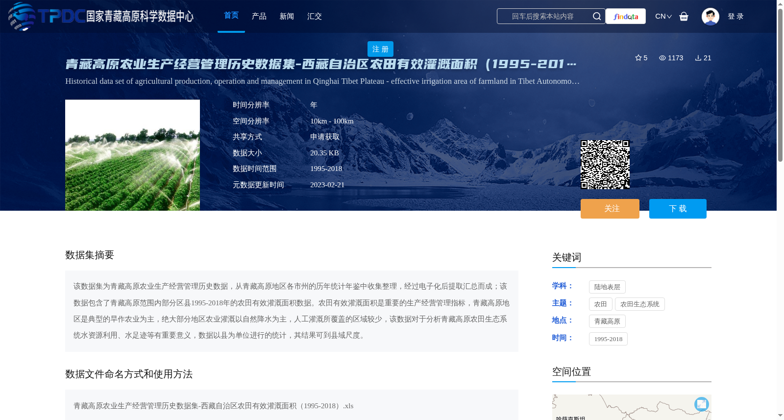
该数据集为青藏高原农业生产经营管理历史数据,从青藏高原地区各市州的历年统计年鉴中收集整理,经过电子化后提取汇总而成;该数据包含了青藏高原范围内部分区县1995-2018年的农田有效灌溉面积数据。农田有效灌溉面积是重要的生产经营管理指标,青藏高原地区是典型的旱作农业为主,绝大部分地区农业灌溉以自然降水为主,人工灌溉所覆盖的区域较少,该数据对于分析青藏高原农田生态系统水资源利用、水足迹等有重要意义,数据以县为单位进行的统计,其结果可到县域尺度。
This dataset comprises historical data on agricultural production, operation and management in the Qinghai-Tibet Plateau. It was collected and sorted out from the annual statistical yearbooks of all cities and prefectures within the Qinghai-Tibet Plateau region, then extracted and consolidated after digitization. This dataset includes data on the effective irrigated area of farmland in some districts and counties across the Qinghai-Tibet Plateau from 1995 to 2018. As an important indicator for agricultural production, operation and management, effective irrigated farmland area is particularly critical given that the Qinghai-Tibet Plateau is dominated by typical dryland agriculture, where most areas rely on natural precipitation for agricultural irrigation with only limited areas covered by artificial irrigation. This dataset holds significant value for analyzing water resource utilization and water footprint of farmland ecosystems on the Qinghai-Tibet Plateau. The data is counted at the county-level administrative unit, and the analysis results can be refined to the county scale.
提供机构:
何秀林
创建时间:
2022-02-20
搜集汇总
数据集介绍
背景与挑战
背景概述
该数据集为青藏高原农业生产经营管理历史数据,聚焦西藏自治区1995-2018年农田有效灌溉面积,数据来源于统计年鉴的电子化汇总,以县域为单位进行统计。其特点是时间跨度长达24年,空间分辨率在10km-100km之间,主要用于分析青藏高原农田生态系统水资源利用和水足迹,对旱作农业区的水资源管理研究具有重要意义。
以上内容由遇见数据集搜集并总结生成


