泛第三极地区城市用地空间分布数据(1992-2015)
收藏国家青藏高原科学数据中心2021-04-19 更新2024-03-01 收录
下载链接:
https://data.tpdc.ac.cn/zh-hans/data/2d67432f-a0c3-4970-913a-85c2dff4c204
下载链接
链接失效反馈官方服务:
资源简介:
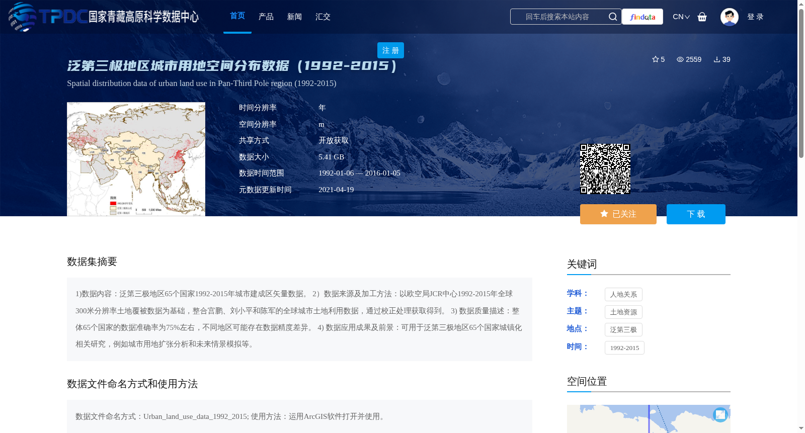
1)数据内容:泛第三极地区65个国家1992-2015年城市建成区矢量数据。
2)数据来源及加工方法:以欧空局JCR中心1992-2015年全球300米分辨率土地覆被数据为基础,整合宫鹏、刘小平和陈军的全球城市土地利用数据,通过校正处理获取得到。
3) 数据质量描述:整体65个国家的数据准确率为75%左右,不同地区可能存在数据精度差异。
4) 数据应用成果及前景:可用于泛第三极地区65个国家城镇化相关研究,例如城市用地扩张分析和未来情景模拟等。
1) Data Content: Vector datasets of urban built-up areas in 65 countries across the Pan-Third Pole region from 1992 to 2015.
2) Data Source and Processing Workflow: Based on the global 300-meter resolution land cover data from the ESA JCR Center during 1992–2015, this dataset was integrated with global urban land use datasets from Gong Peng, Liu Xiaoping and Chen Jun, and obtained through correction processing.
3) Data Quality Assessment: The overall accuracy of the dataset for the 65 countries is approximately 75%, and there may be differences in data accuracy across different regions.
4) Data Applications and Future Prospects: This dataset can be utilized for urbanization-related research in the 65 countries across the Pan-Third Pole region, such as analysis of urban land expansion and future scenario simulation.
提供机构:
李广东
创建时间:
2019-01-01
搜集汇总
数据集介绍
背景与挑战
背景概述
该数据集提供了泛第三极地区65个国家1992-2015年的城市建成区空间分布数据,数据来源于欧空局JCR中心的全球土地覆被数据并经过整合校正,整体准确率约75%,适用于城市用地扩张分析等城镇化研究。
以上内容由遇见数据集搜集并总结生成


