中国西部六省多年土地利用现状遥感监测数据集(1970s、1980s、1995、2000、2005、2010、2015)
收藏国家青藏高原科学数据中心2021-04-19 更新2024-02-29 收录
下载链接:
https://data.tpdc.ac.cn/zh-hans/data/60b069ec-93a7-4365-a309-6131356d7b35
下载链接
链接失效反馈官方服务:
资源简介:
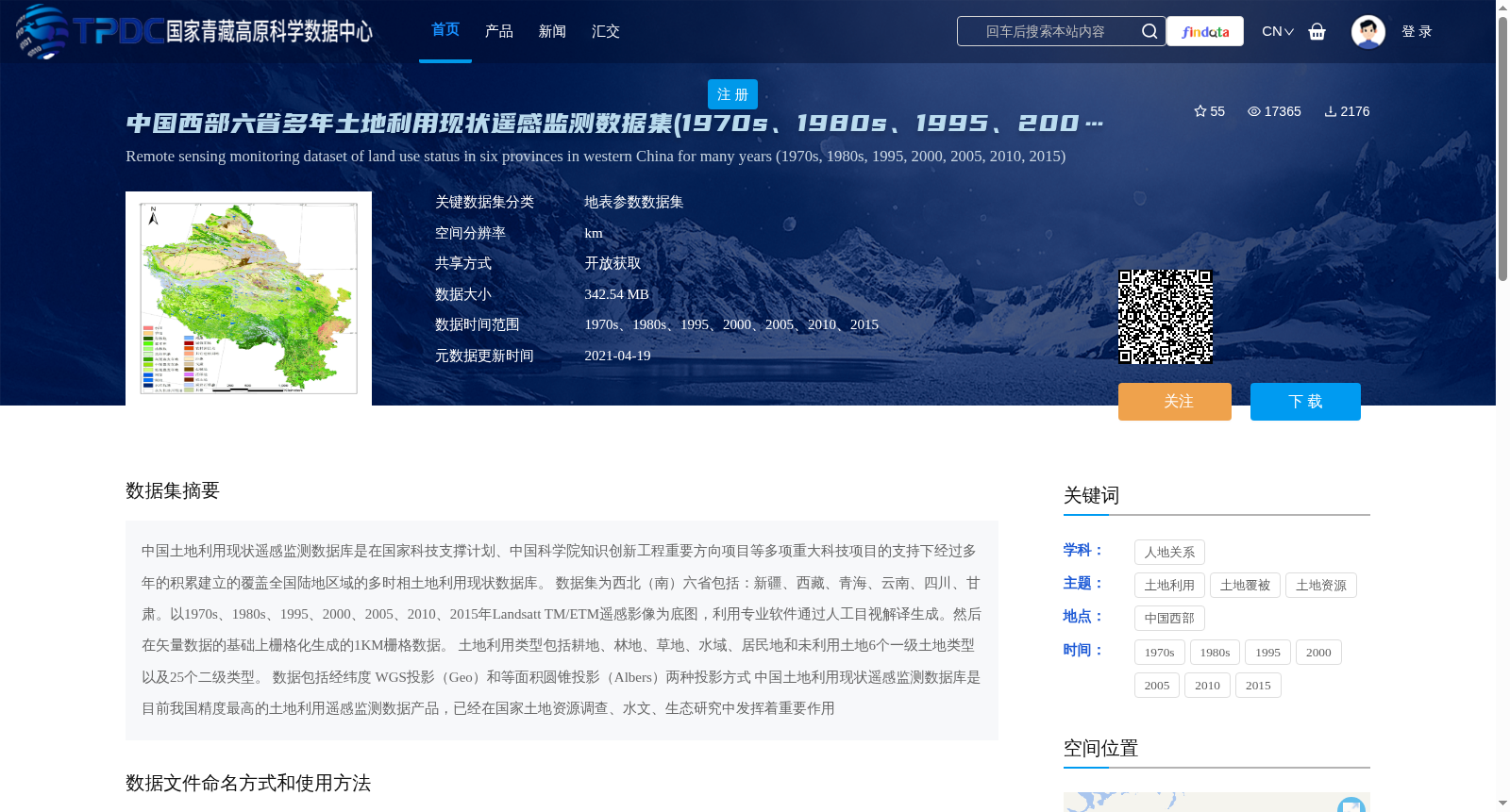
中国土地利用现状遥感监测数据库是在国家科技支撑计划、中国科学院知识创新工程重要方向项目等多项重大科技项目的支持下经过多年的积累建立的覆盖全国陆地区域的多时相土地利用现状数据库。
数据集为西北(南)六省包括:新疆、西藏、青海、云南、四川、甘肃。以1970s、1980s、1995、2000、2005、2010、2015年Landsatt TM/ETM遥感影像为底图,利用专业软件通过人工目视解译生成。然后在矢量数据的基础上栅格化生成的1KM栅格数据。
土地利用类型包括耕地、林地、草地、水域、居民地和未利用土地6个一级土地类型以及25个二级类型。
数据包括经纬度 WGS投影(Geo)和等面积圆锥投影(Albers)两种投影方式
中国土地利用现状遥感监测数据库是目前我国精度最高的土地利用遥感监测数据产品,已经在国家土地资源调查、水文、生态研究中发挥着重要作用
The China Land Use Remote Sensing Monitoring Database is a multi-temporal land use database covering the entire terrestrial area of China, which has been established after years of accumulation with the support of multiple major scientific and technological programs including the National Science and Technology Pillar Program and the Key Projects of the Knowledge Innovation Program of the Chinese Academy of Sciences.
This dataset covers six provinces in northwestern (and southwestern) China, namely Xinjiang, Tibet, Qinghai, Yunnan, Sichuan and Gansu. It was generated using Landsat TM/ETM remote sensing images acquired in the 1970s, 1980s, 1995, 2000, 2005, 2010 and 2015 as base maps via manual visual interpretation with professional software. Subsequently, 1-kilometer grid data was produced through rasterization based on the vector dataset.
The land use categories include 6 first-level types: cultivated land, forest land, grassland, water area, residential area and unused land, as well as 25 second-level subtypes.
The dataset supports two projection formats: WGS geographic (Geo) projection and Albers equal-area conic projection.
The China Land Use Remote Sensing Monitoring Database is currently the most accurate land use remote sensing monitoring data product in China, and has played an important role in national land resource surveys, hydrological and ecological research.
提供机构:
刘纪远
创建时间:
2019-06-05
搜集汇总
数据集介绍
背景与挑战
背景概述
该数据集是中国西部六省(新疆、西藏、青海、云南、四川、甘肃)1970s至2015年间的土地利用现状遥感监测数据,基于Landsat TM/ETM遥感影像人工解译生成,包含6个一级和25个二级土地类型,空间分辨率为1KM,数据格式为Grid和tif,适用于土地资源调查和生态研究。
以上内容由遇见数据集搜集并总结生成


