基于Himawari-8卫星的青藏高原逐小时云量及微物理数据集(2016-2022)
收藏国家青藏高原科学数据中心2025-04-11 更新2025-05-24 收录
下载链接:
https://data.tpdc.ac.cn/zh-hans/data/0cbab190-558e-4c2b-8dcb-01f021212289
下载链接
链接失效反馈官方服务:
资源简介:
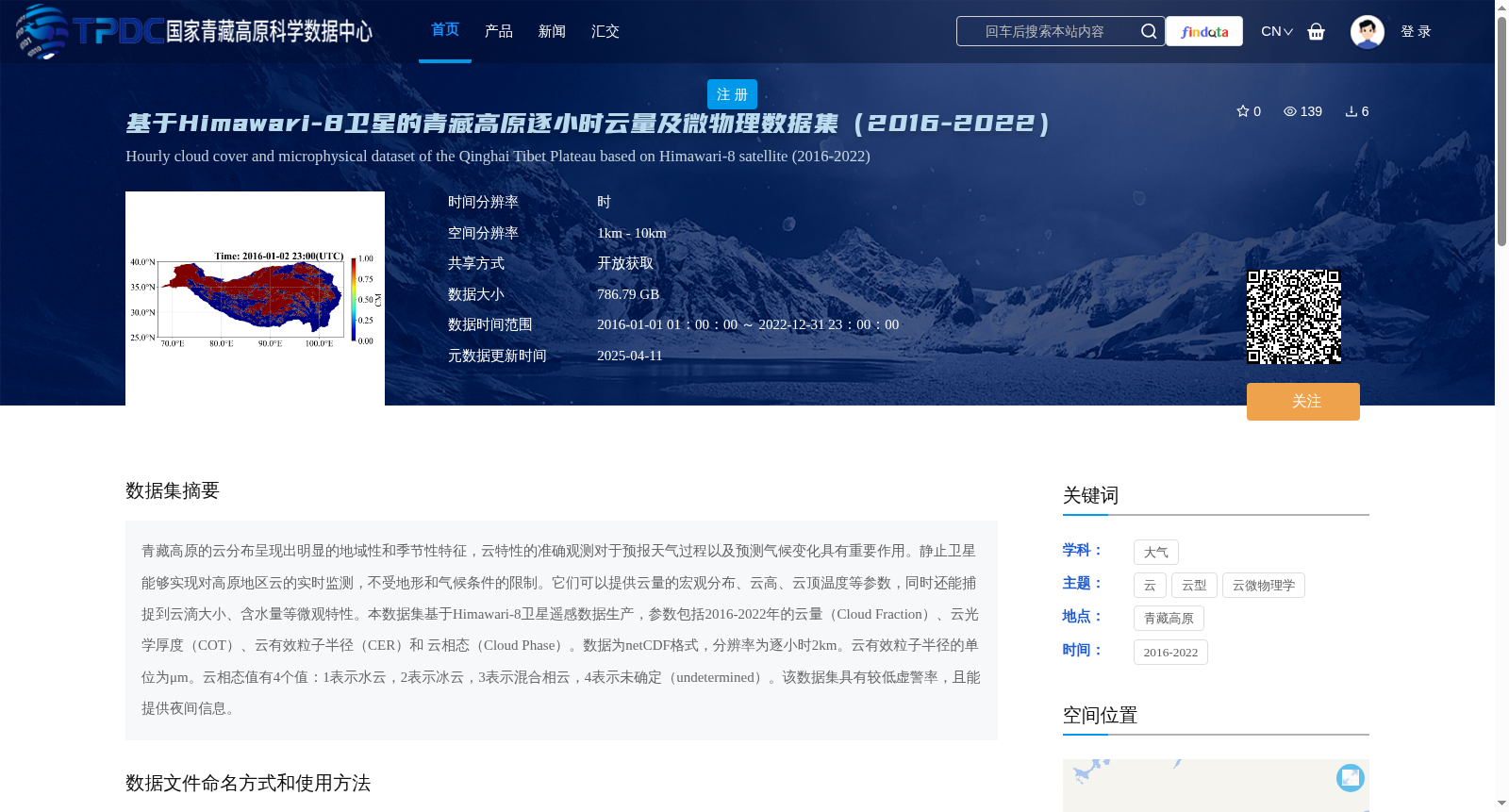
青藏高原的云分布呈现出明显的地域性和季节性特征,云特性的准确观测对于预报天气过程以及预测气候变化具有重要作用。静止卫星能够实现对高原地区云的实时监测,不受地形和气候条件的限制。它们可以提供云量的宏观分布、云高、云顶温度等参数,同时还能捕捉到云滴大小、含水量等微观特性。本数据集基于Himawari-8卫星遥感数据生产,参数包括2016-2022年的云量(Cloud Fraction)、云光学厚度(COT)、云有效粒子半径(CER)和 云相态(Cloud Phase)。数据为netCDF格式,分辨率为逐小时2km。云有效粒子半径的单位为μm。云相态值有4个值:1表示水云,2表示冰云,3表示混合相云,4表示未确定(undetermined)。该数据集具有较低虚警率,且能提供夜间信息。
Cloud distribution over the Tibetan Plateau exhibits distinct regional and seasonal characteristics. Accurate observation of cloud properties plays a critical role in weather forecasting and climate change prediction. Geostationary satellites can perform real-time monitoring of clouds over the plateau, unrestricted by terrain and climatic conditions. They can provide macroscopic distribution parameters such as cloud fraction, cloud height, and cloud top temperature, as well as capture microscopic properties including cloud droplet size and liquid water content. This dataset is produced based on Himawari-8 satellite remote sensing data, with parameters including cloud fraction, cloud optical thickness (COT), cloud effective radius (CER), and cloud phase for the period 2016–2022. The data is stored in netCDF format, with a spatial resolution of 2 km and hourly temporal resolution. The unit of cloud effective radius is μm. There are four valid values for cloud phase: 1 represents water cloud, 2 represents ice cloud, 3 represents mixed-phase cloud, and 4 represents undetermined. This dataset has a low false alarm rate and can provide nighttime observation data.
提供机构:
胡斯勒图,尚华哲,赵玉欣,马润,旭日,伟乐斯,包芳玲
创建时间:
2024-10-21
搜集汇总
数据集介绍
背景与挑战
背景概述
该数据集是基于Himawari-8卫星的青藏高原2016-2022年逐小时云量及微物理参数数据,包含云量、云光学厚度、云有效粒子半径和云相态等关键参数,分辨率为2km,数据格式为netCDF,总大小786.79GB。数据集具有较低虚警率和夜间观测能力,适用于天气预测和气候变化研究。
以上内容由遇见数据集搜集并总结生成


