黄土高原县域资源、环境发展指标可视化数据集(1980-2019年)
收藏国家地球系统科学数据中心2022-11-07 更新2024-03-04 收录
下载链接:
https://www.geodata.cn/data/datadetails.html?dataguid=146802455043901&docId=6923
下载链接
链接失效反馈官方服务:
资源简介:
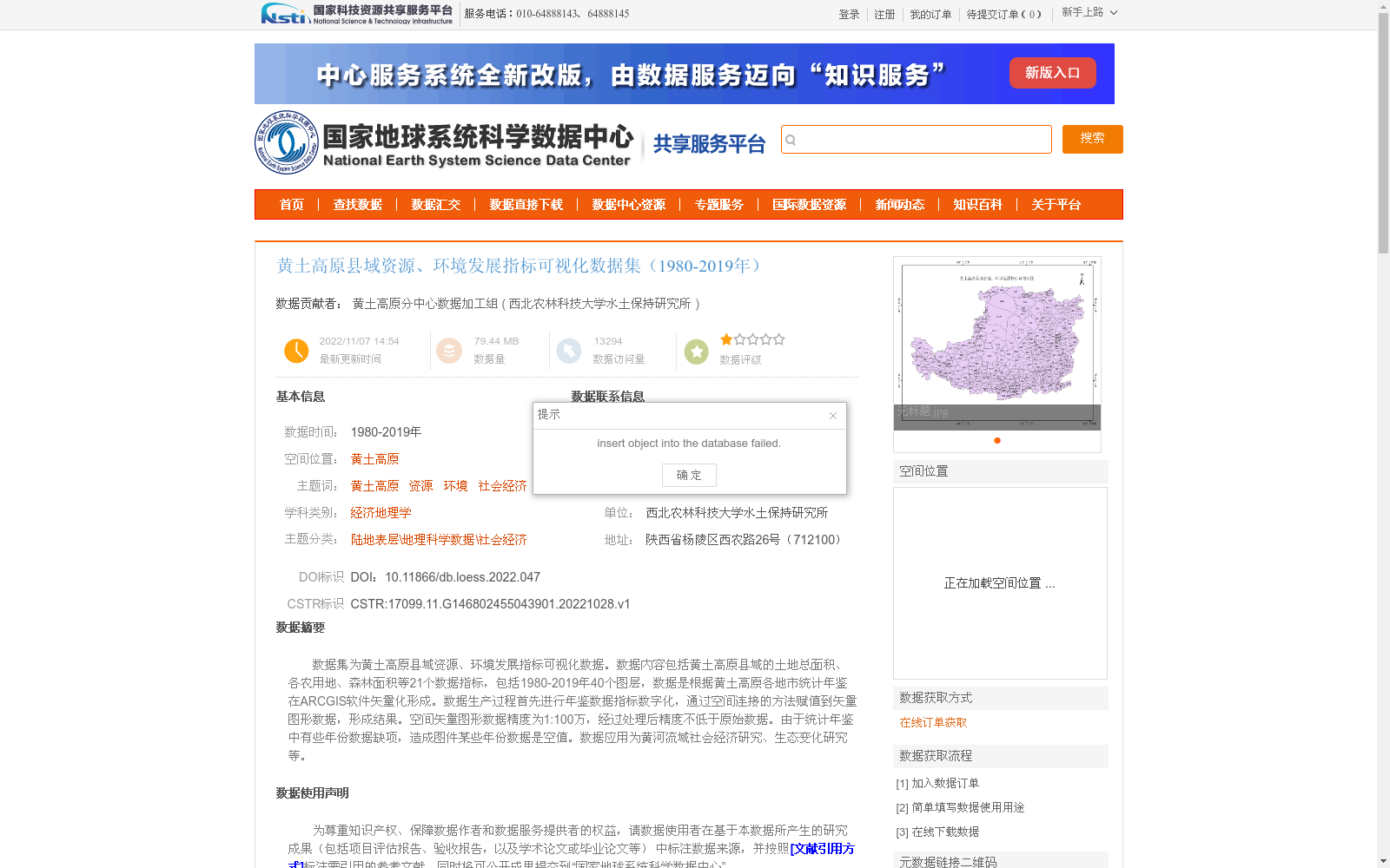
数据集为黄土高原县域资源、环境发展指标可视化数据。数据内容包括黄土高原县域的土地总面积、各农用地、森林面积等21个数据指标,包括1980-2019年40个图层,数据是根据黄土高原各地市统计年鉴在ARCGIS软件矢量化形成。数据生产过程首先进行年鉴数据指标数字化,通过空间连接的方法赋值到矢量图形数据,形成结果。空间矢量图形数据精度为1:100万,经过处理后精度不低于原始数据。由于统计年鉴中有些年份数据缺项,造成图件某些年份数据是空值。数据应用为黄河流域社会经济研究、生态变化研究等。
This dataset comprises visualized county-level resource and environmental development indicator data for the Loess Plateau. It includes 21 indicators such as total land area, various agricultural land areas and forest area for counties on the Loess Plateau, with 40 temporal layers covering the period from 1980 to 2019. The data was generated via vectorization using ArcGIS software based on the statistical yearbooks of prefecture-level cities across the Loess Plateau region. The data production workflow first involves digitizing the indicator data from the statistical yearbooks, then assigning the digitized values to the vector graphic datasets through spatial join operations to produce the final results. The spatial vector data has an original scale accuracy of 1:1,000,000, and the accuracy of the processed data is not lower than that of the original dataset. However, due to missing data entries in certain years within the statistical yearbooks, some of the map layers contain null values for corresponding years. This dataset is applicable to socio-economic research, ecological change research and other related studies in the Yellow River Basin.
提供机构:
西北农林科技大学水土保持研究所
创建时间:
2022-10-28
搜集汇总
数据集介绍
背景与挑战
背景概述
该数据集包含黄土高原县域1980-2019年的资源、环境发展指标,共21个数据指标,通过统计年鉴和ARCGIS软件矢量化处理生成,空间精度为1:100万,主要用于黄河流域的社会经济和生态研究。
以上内容由遇见数据集搜集并总结生成


