
MapData
收藏资源简介:
MapData是由武汉大学遥感信息工程学院研究团队构建的大规模多场景多模态电子导航地图与可见光图像数据集,旨在为全球尺度遥感图像匹配提供高质量的训练和评估资源。该数据集涵盖了233个采样点,提供了原始图像(7000×5000至20000×15000像素),经过严格清洗后,提供了121781对对齐的电子地图与可见图像(512×512像素)的混合手动自动标注地面真实数据,解决了大规模多模态基准数据集稀缺的问题。
MapData is a large-scale multi-scenario and multi-modal electronic navigation map and visible light image dataset constructed by the research team from the School of Remote Sensing Information Engineering, Wuhan University. It is designed to provide high-quality training and evaluation resources for global-scale remote sensing image matching. This dataset covers 233 sampling points, providing raw images with resolutions ranging from 7000×5000 to 20000×15000 pixels. After strict cleaning, it offers 121,781 pairs of aligned electronic maps and visible light images (512×512 pixels) with hybrid manual-automatic annotated ground truth data, solving the scarcity problem of large-scale multi-modal benchmark datasets.
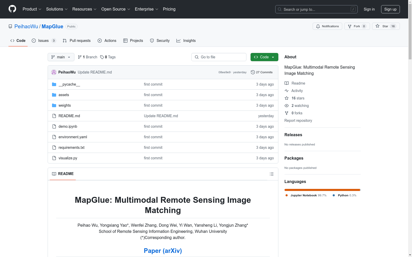
- 1MapGlue: Multimodal Remote Sensing Image Matching武汉大学遥感信息工程学院 · 2025年


