江苏省南京雨花台风景名胜区低空影像数据集
收藏江苏数据知识产权登记系统2025-08-20 更新2025-09-06 收录
下载链接:
https://dataip.jsipp.cn/#/changeDetialCertical?pType=登记&cType=登记&id=494de4d4f0bb9ed49b0f51ad97908f89
下载链接
链接失效反馈官方服务:
资源简介:
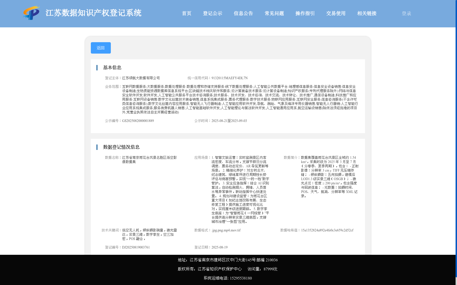
数据集覆盖雨花台风景区全域约 1.54 km²,采集时段为 2025 年 3 月至 7 月(分春季、夏季两期),包含:
- 正射影像:分辨率 3 cm,TIFF 无压缩存储;
- 倾斜摄影:五向拍摄,建模后 LOD1.3 级实景三维(OSGB);
- 激光点云:密度 ≥ 200 pts/m²,包含强度与回波信息;
- 元数据:拍摄时间、POS、天气、航高、分辨率等 XML 记录。
The dataset covers the entire Yuhuatai Scenic Area, spanning approximately 1.54 km². The data acquisition period runs from March to July 2025, divided into two phases: spring and summer. It includes the following contents:
- Orthophotos: with a spatial resolution of 3 cm, stored in uncompressed TIFF format;
- Oblique photogrammetry data: five-direction shooting, and the modeled real-scene 3D model reaches LOD1.3 level, stored in OSGB format;
- LiDAR point clouds: with a point density of ≥ 200 pts/m², containing intensity and echo information;
- Metadata: XML records including shooting time, POS data, weather conditions, flight altitude, spatial resolution and other relevant parameters.
提供机构:
江苏领航大数据有限公司
搜集汇总
数据集介绍
以上内容由遇见数据集搜集并总结生成


