2021和2022年丰枯水期鄱阳湖总悬浮物(TSM)浓度遥感反演数据
收藏国家生态科学数据中心2025-04-19 收录
下载链接:
http://www.nesdc.org.cn/sdo/detail?id=677a98f17e281765a356650d
下载链接
链接失效反馈官方服务:
资源简介:
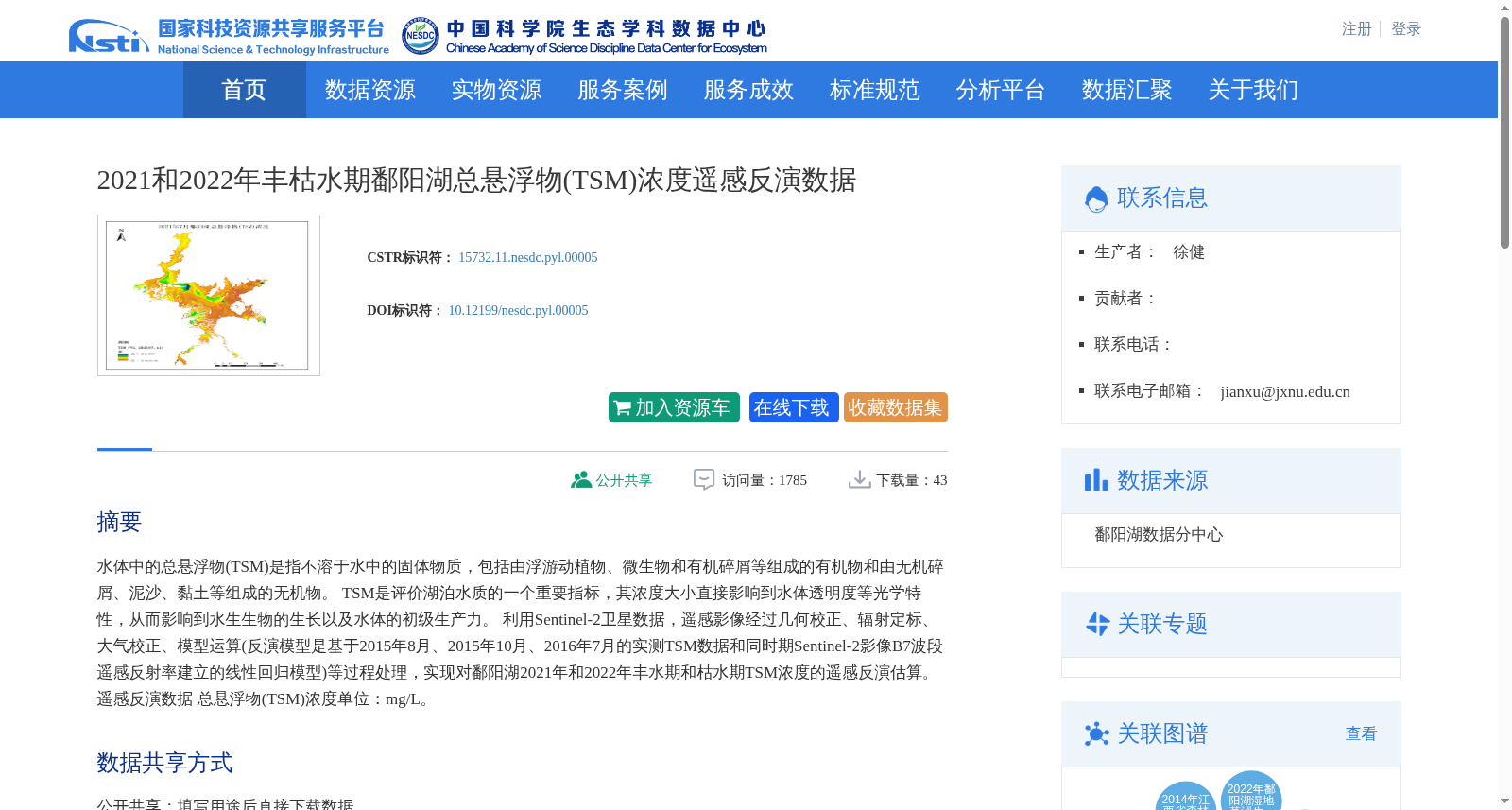
水体中的总悬浮物(TSM)是指不溶于水中的固体物质,包括由浮游动植物、微生物和有机碎屑等组成的有机物和由无机碎屑、泥沙、黏土等组成的无机物。
TSM是评价湖泊水质的一个重要指标,其浓度大小直接影响到水体透明度等光学特性,从而影响到水生生物的生长以及水体的初级生产力。
利用Sentinel-2卫星数据,遥感影像经过几何校正、辐射定标、大气校正、模型运算(反演模型是基于2015年8月、2015年10月、2016年7月的实测TSM数据和同时期Sentinel-2影像B7波段遥感反射率建立的线性回归模型)等过程处理,实现对鄱阳湖2021年和2022年丰水期和枯水期TSM浓度的遥感反演估算。遥感反演数据
总悬浮物(TSM)浓度单位:mg/L。
Total Suspended Matter (TSM) in water refers to solid substances insoluble in aqueous media, which can be divided into two categories: organic matter composed of phytoplankton, zooplankton, microorganisms, organic debris and other components, and inorganic matter composed of inorganic debris, sediment, clay and other components.
TSM is a critical indicator for assessing lake water quality. Its concentration directly affects optical properties such as water transparency, thereby exerting impacts on the growth of aquatic organisms and the primary productivity of water bodies.
Using Sentinel-2 satellite data, remote sensing images were processed via a series of procedures including geometric correction, radiometric calibration, atmospheric correction and model calculation. The retrieval model was a linear regression model established based on in-situ TSM data collected in August 2015, October 2015 and July 2016, combined with the remote sensing reflectance of the B7 band of synchronous Sentinel-2 images. This workflow enabled remote sensing retrieval and estimation of TSM concentrations in Poyang Lake during the wet and dry seasons of 2021 and 2022. The unit of TSM concentration in the remote sensing retrieval dataset is mg/L.
创建时间:
2024-12-04
搜集汇总
数据集介绍
背景与挑战
背景概述
该数据集提供了2021年和2022年鄱阳湖丰水期和枯水期的总悬浮物浓度遥感反演数据,基于Sentinel-2卫星影像通过线性回归模型处理生成,单位为mg/L。数据以栅格图像形式存储,覆盖鄱阳湖区域,适用于湖泊水质评估和环境监测研究,公开共享但需联系数据生产者获取。
以上内容由遇见数据集搜集并总结生成


