GEO-color
收藏福建大数据交易所2024-04-26 更新2024-04-29 收录
下载链接:
https://trade.fjbdex.com/ltywpt/data-market/detail?time=1779380126707&id=1783760787180433410&isXxjssc=false
下载链接
链接失效反馈官方服务:
资源简介:
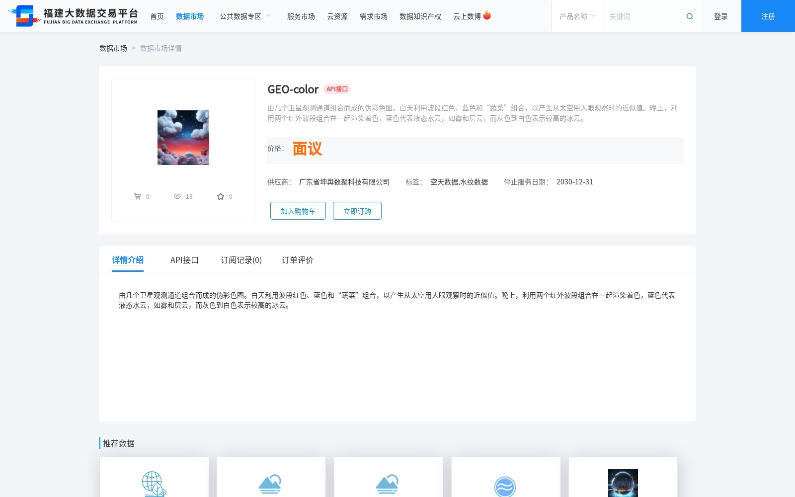
由几个卫星观测通道组合而成的伪彩色图。白天利用波段红色、蓝色和“蔬菜”组合,以产生从太空用人眼观察时的近似值。晚上,利用两个红外波段组合在一起渲染着色,蓝色代表液态水云,如雾和层云,而灰色到白色表示较高的冰云。
False-color images constructed by combining multiple satellite observation channels. During the daytime, the red, blue, and "vegetation" bands are combined to generate an approximation of the human visual perspective from space. At night, two infrared bands are used for color rendering, where blue denotes liquid water clouds such as fog and stratus clouds, while gray to white tones represent high-altitude ice clouds.
提供机构:
广东省坤舆数聚科技有限公司
创建时间:
2024-04-26
搜集汇总
数据集介绍
背景与挑战
背景概述
GEO-color数据集是由卫星观测通道组合生成的伪彩色图,白天使用红、蓝和‘蔬菜’波段组合模拟人眼观察效果,晚上则利用红外波段区分液态水云和冰云。该数据集由广东省坤舆数聚科技有限公司提供,标签为空天数据和水纹数据,服务截止日期为2030年12月31日。
以上内容由遇见数据集搜集并总结生成


