全球干旱区划分(1970-2020)
收藏资源简介:
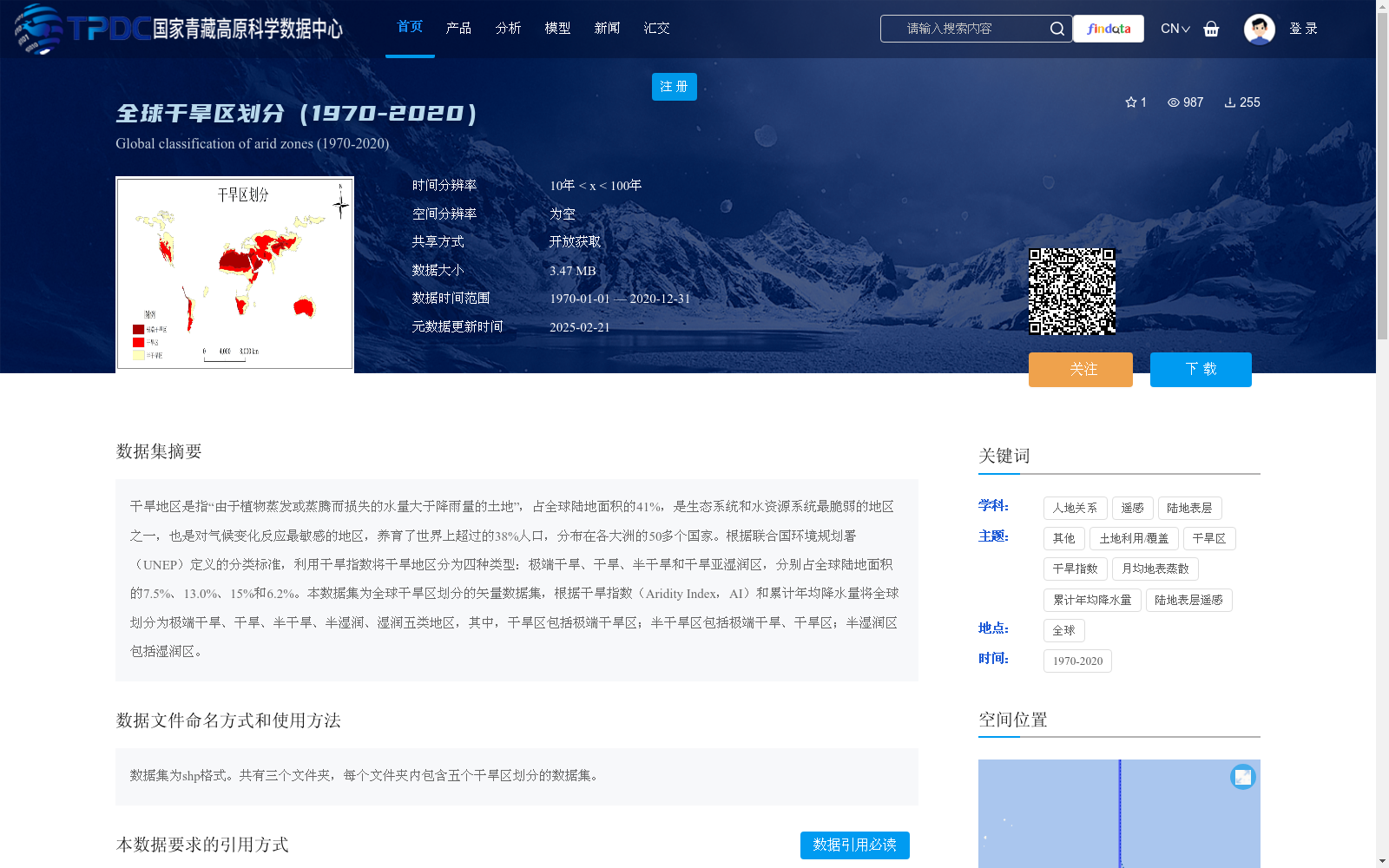
干旱地区是指“由于植物蒸发或蒸腾而损失的水量大于降雨量的土地”,占全球陆地面积的41%,是生态系统和水资源系统最脆弱的地区之一,也是对气候变化反应最敏感的地区,养育了世界上超过的38%人口,分布在各大洲的50多个国家。根据联合国环境规划署(UNEP)定义的分类标准,利用干旱指数将干旱地区分为四种类型:极端干旱、干旱、半干旱和干旱亚湿润区,分别占全球陆地面积的7.5%、13.0%、15%和6.2%。本数据集为全球干旱区划分的矢量数据集,根据干旱指数(Aridity Index,AI)和累计年均降水量将全球划分为极端干旱、干旱、半干旱、半湿润、湿润五类地区,其中,干旱区包括极端干旱区;半干旱区包括极端干旱、干旱区;半湿润区包括湿润区。
Arid regions are defined as "land where the water lost through plant evaporation and transpiration exceeds rainfall". They account for 41% of the global land area, ranking among the most vulnerable regions for both ecosystems and water resource systems, and also the most sensitive areas to climate change. These regions support over 38% of the global population and are distributed across more than 50 countries on all continents. According to the classification criteria defined by the United Nations Environment Programme (UNEP), arid regions are categorized into four types based on the Aridity Index (AI): hyper-arid, arid, semi-arid, and dry sub-humid regions, which account for 7.5%, 13.0%, 15%, and 6.2% of the global land area respectively. This dataset is a global vector dataset for arid region delineation. It divides the entire globe into five types of regions based on the Aridity Index (AI) and cumulative annual average precipitation: hyper-arid, arid, semi-arid, semi-humid, and humid regions. Specifically, arid regions include hyper-arid regions; semi-arid regions include hyper-arid and arid regions; and semi-humid regions include humid regions.