A dataset of 1km Grid Residential land density in China(2022)
收藏DataCite Commons2025-04-27 更新2025-04-16 收录
下载链接:
https://www.scidb.cn/detail?dataSetId=4a0c47e82090432db235b7fd29126fff
下载链接
链接失效反馈官方服务:
资源简介:
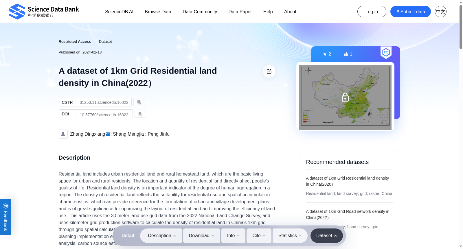
Residential land includes urban residential land and rural homestead land, which are the basic living space for urban and rural residents. The location and quantity of residential land directly affect people's quality of life. Residential land density is an important indicator of the degree of human aggregation in a region. The density of residential land reflects the suitability for residential use and spatial accumulation characteristics, which can provide reference for the formulation of urban and village development plans, and is of great significance for optimizing the layout of residential land and improving the efficiency of land use. This article uses the 30 meter land use grid data from the 2022 National Land Change Survey, and uses kilometer grid production software to calculate the density of residential land in China's 1km grid through grid spatial calculation. This dataset can be used for research on urban village internal planning, planning implementation evaluation, regional resident quality of life evaluation, residential area demand analysis, carbon source estimation, remote sensing sample library, and other aspects.
居住用地(residential land)包括城镇居住用地与农村宅基地,是城乡居民的基本生活空间。居住用地的区位与规模直接影响居民的生活质量。居住用地密度是衡量区域人类集聚程度的重要指标,可反映区域居住适宜性与空间集聚特征,可为城乡发展规划编制提供参考,对优化居住用地布局、提升土地利用效率具有重要意义。本研究采用2022年全国土地利用变更调查的30米土地利用格网数据,借助千米格网生产软件,通过格网空间运算计算出全国1千米格网尺度下的居住用地密度。本数据集可应用于城乡内部规划、规划实施评估、区域居民生活质量评估、居住区需求分析、碳源估算、遥感样本库构建等相关研究领域。
提供机构:
Science Data Bank
创建时间:
2024-02-18
搜集汇总
数据集介绍
背景与挑战
背景概述
该数据集提供了中国2022年1公里网格的住宅用地密度信息,基于全国土地变更调查数据计算得出,适用于城乡规划、生活质量评估等研究。数据集由张定祥等人制作,数据量为4.74MB,包含1个文件。
以上内容由遇见数据集搜集并总结生成


