亚洲水塔区域MODIS+FY4A逐日无云积雪覆盖度数据集(2019-2021)
收藏国家青藏高原科学数据中心2023-06-29 更新2024-03-01 收录
下载链接:
https://data.tpdc.ac.cn/zh-hans/data/a2fb70a6-957c-4afa-91dc-68d8a1626b90
下载链接
链接失效反馈官方服务:
资源简介:
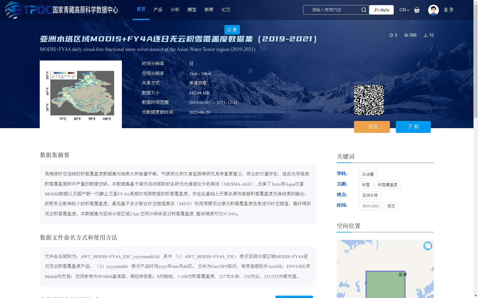
高精度时空连续的积雪覆盖度数据集对地表水和能量平衡、气候变化和灾害监测等研究具有重要意义,而云的大量存在,造成光学遥感积雪覆盖面积中严重的数据空缺。本数据集基于端元自动提取的多段元光谱混合分析算法(MESMA-AGE), 反演了Terra和Aqua双星MODIS数据以及国产新一代静止卫星FY-4A高频次观测数据的积雪覆盖度,并在此基础上开展多源传感器积雪覆盖度反演结果的融合,获取受云影响较小的积雪覆盖度。最后基于多步联合时空插值算法(MSTI)利用周围无云像元积雪覆盖度信息进行时空插值,最终得到无云积雪覆盖度。本数据集为亚洲水塔区域2 km 空间分辨率逐日积雪覆盖度, 整体精度可达97.84%。
High-precision spatiotemporally continuous snow cover fraction datasets are of great significance for studies including surface water and energy balance, climate change, and disaster monitoring. However, the widespread presence of clouds causes severe data gaps in snow cover area retrieved from optical remote sensing. Based on the Multiple Endmember Spectral Mixing Analysis algorithm with Automatic Endmember Extraction (MESMA-AGE), this dataset retrieves snow cover fraction from MODIS data of the twin satellites Terra and Aqua, as well as high-frequency observation data from China's new-generation geostationary satellite FY-4A. On this basis, fusion of snow cover fraction retrieval results from multi-source sensors is conducted to obtain snow cover fraction with reduced cloud contamination. Finally, spatiotemporal interpolation is performed using snow cover fraction information from surrounding cloud-free pixels via the Multi-step Joint Spatiotemporal Interpolation algorithm (MSTI), ultimately generating cloud-free snow cover fraction products. This dataset provides daily snow cover fraction products with a 2 km spatial resolution over the Asian Water Tower region, with an overall accuracy of up to 97.84%.
提供机构:
蒋玲梅,潘方博,王功雪,潘金梅,黄锦煜,施建成
创建时间:
2023-06-26
搜集汇总
数据集介绍
背景与挑战
背景概述
该数据集是亚洲水塔区域2019年至2021年的逐日无云积雪覆盖度数据,空间分辨率为2公里,基于MODIS和FY-4A卫星观测,通过多源融合和时空插值算法消除云影响,整体精度高达97.84%。数据以GeoTIFF格式提供,覆盖东经60°至106°、北纬24°至54°的区域,适用于气候变化、水循环和灾害监测等研究。
以上内容由遇见数据集搜集并总结生成


