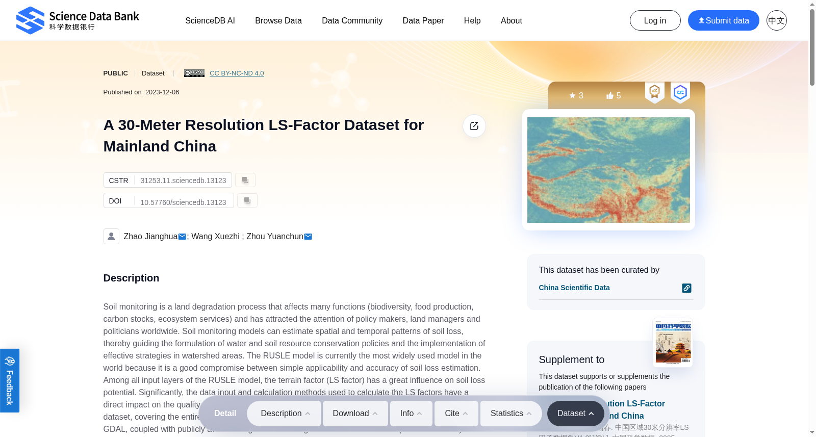
A 30-Meter Resolution LS-Factor Dataset for Mainland China
收藏资源简介:
Soil monitoring is a land degradation process that affects many functions (biodiversity, food production, carbon stocks, ecosystem services) and has attracted the attention of policy makers, land managers and politicians worldwide. Soil monitoring models can estimate spatial and temporal patterns of soil loss, thereby guiding the formulation of water and soil resource conservation policies and the implementation of effective strategies in watershed areas. The RUSLE model is currently the most widely used model in the world because it is a good compromise between simple applicability and accuracy of soil loss estimation. Among all input layers of the RUSLE model, the terrain factor (LS factor) has a great influence on soil loss potential. Significantly, the data input and calculation methods used to calculate the LS factors have a direct impact on the quality of the final RUSLE model calculation. The 30-meter resolution LS factor dataset, covering the entire China’s regions, was calculated using open-source tools such as SAGA and GDAL, coupled with publicly available high-resolution digital elevation model data (30-meter SRTM). In the process of data calculation in a large-scale region, based on the spatial decomposition of data, a neighborhood-dependent calculation method is used to ensure the accuracy of LS factor calculation. Simultaneous use of multi-flow algorithms helps to accurately estimate flow accumulation. This dataset can be used as input data forsoil erosion assessments at various scales, from local areas to entire regions.
土壤监测是一类土地退化过程,会影响诸多生态系统功能(生物多样性、粮食生产、碳储量、生态系统服务),并已受到全球范围内政策制定者、土地管理者与政界人士的广泛关注。土壤监测模型可估算土壤流失的时空分布格局,进而为流域区域的水土资源保护政策制定与有效策略落地提供指导。修正通用土壤流失方程(Revised Universal Soil Loss Equation, RUSLE)是目前全球应用最广泛的模型,因其在易用性与土壤流失估算精度之间实现了良好的平衡。在RUSLE模型的所有输入图层中,地形因子(LS因子)对土壤流失潜势具有显著影响。尤为重要的是,用于计算LS因子的数据输入与计算方法,直接决定了RUSLE模型最终计算结果的质量。本数据集为覆盖中国全域的30米分辨率LS因子数据集,依托SAGA、GDAL等开源工具,结合公开的高分辨率数字高程模型数据(30米SRTM)计算生成。在大区域数据计算过程中,本数据集基于数据空间分解策略,采用邻域依赖型计算方法以保障LS因子的计算精度;同时采用多流向算法,可精准估算汇流累积量。该数据集可作为不同尺度(从局地区域至全域范围)土壤侵蚀评估的输入数据。