PLA4MS_Cloud_Removal_Dataset
收藏资源简介:
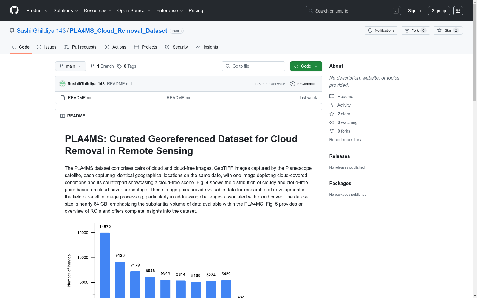
PLA4MS数据集包含云和云免费图像的配对。这些GeoTIFF图像由Planetscope卫星捕获,每张图像在同一日期捕获相同的地理位置,其中一张图像描绘了云覆盖条件,另一张展示了无云场景。这些图像对为卫星图像处理领域的研究和开发提供了宝贵的数据,特别是在解决与云覆盖相关的挑战方面。数据集大小近64 GB,强调了PLA4MS中可用数据的庞大体积。
The PLA4MS dataset consists of paired images of cloudy and cloud-free scenes. These GeoTIFF images were captured by the Planetscope satellite, with each image pair acquired at the identical geographic location and on the same date: one image portrays cloud-covered conditions, while the other exhibits a cloud-free scene. These paired images provide valuable data for research and development in the field of satellite image processing, especially for addressing challenges related to cloud cover. The dataset has a total size of nearly 64 GB, highlighting the vast volume of available data in PLA4MS.
PLA4MS数据集概述
数据集简介
- 名称:PLA4MS: Curated Georeferenced Dataset for Cloud Removal in Remote Sensing
- 用途:用于遥感图像中云层去除的研究与开发
- 数据内容:包含云覆盖和无云的图像对,每对图像在同一日期拍摄同一地理区域
- 数据来源:Planetscope卫星拍摄的GeoTIFF图像
- 数据量:约64 GB
数据集结构
- 原始图像尺寸:11,461 × 9,942像素
- 空间分辨率:3米
- 覆盖范围:34,383 × 29,826米(每个ROI)
- 分块处理:图像被分割为256 × 256像素的瓦片,覆盖约1.5 × 1.5平方公里
- 命名规则:PLA4MS.XXX.tif
- PLA:Planetscope卫星
- 4:四个通道(红、绿、蓝、近红外)
- MS:多光谱图像
- XXX:唯一图像标识符
数据采集
- 时间范围:2018年至2023年
- 平台:planet.com
数据集应用
- 土地覆盖动态研究
- 环境变化监测
- 作物生长监测
- 云覆盖对卫星观测的影响评估
数据集获取
- 下载链接:https://drive.google.com/drive/folders/1eiQ0N7qoogs9e1-EOFB2st7PLrHf-zd9
- 管理方:印度理工学院鲁普尔分校
- 使用要求:研究使用时需正确引用相关文章
相关图表
- 图4:基于云覆盖百分比的云和无云图像对分布
- 图5:ROI概览和数据集完整视图
- 图6:PLA4MS数据集中的配对示例