第三极地区13条主要河流及其出山口以上流域边界矢量图
收藏国家青藏高原科学数据中心2025-05-09 更新2025-05-17 收录
下载链接:
https://data.tpdc.ac.cn/zh-hans/data/7011d6f6-3198-4547-9dab-4964360017c8
下载链接
链接失效反馈官方服务:
资源简介:
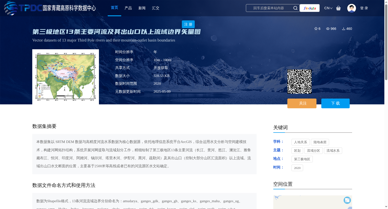
本数据集以 SRTM DEM 数据与高精度河流水系数据为核心数据源,依托地理信息系统平台ArcGIS,综合运用水文分析与空间建模技术,构建河网拓扑结构,系统开展河网提取与流域划分工作,精细绘制了第三极地区13条主要河流(长江、黄河、怒江、澜沧江、雅鲁藏布江、恒河、印度河、阿姆河、锡尔河、塔里木河、伊犁河、黑河、疏勒河)及其出山口(控制大部分山区汇流面积)以上流域。流域出山口水文断面的位置,主要基于2500米等高线或者已有的河流源区水文站确定。
This dataset uses SRTM DEM data and high-precision river network data as its core data sources. Leveraging the geographic information system platform ArcGIS, it integrates hydrological analysis and spatial modeling technologies to construct river network topologies, and systematically conducts river network extraction and watershed delineation. It has mapped in detail the 13 major rivers in the Third Pole region (including the Yangtze River, Yellow River, Salween River (Nu Jiang), Lancang River (Mekong River), Yarlung Zangbo River (Brahmaputra River), Ganges River, Indus River, Amu Darya, Syr Darya, Tarim River, Ili River, Heihe River, and Shule River) and their watersheds upstream of their mountain outlets, which control most of the mountainous runoff catchment areas. The locations of the hydrological cross-sections at these mountain outlets are primarily determined based on the 2500-meter contour line or existing hydrological stations in the river source regions.
提供机构:
王磊,柴晨好,李秀萍
创建时间:
2025-05-08
搜集汇总
数据集介绍
背景与挑战
背景概述
该数据集包含第三极地区13条主要河流及其出山口以上流域边界的矢量图,基于SRTM DEM和高精度河流水系数据,通过ArcGIS平台进行水文分析与建模。数据格式为Shapefile,适用于多种遥感软件,覆盖范围广泛,时间跨度为2020年。
以上内容由遇见数据集搜集并总结生成


