2000-2020年一带一路1km MODIS植被状况数据
收藏地球大数据科学工程2024-03-04 收录
下载链接:
https://data.casearth.cn/sdo/detail/5da578a6329b5613607cc928
下载链接
链接失效反馈官方服务:
资源简介:
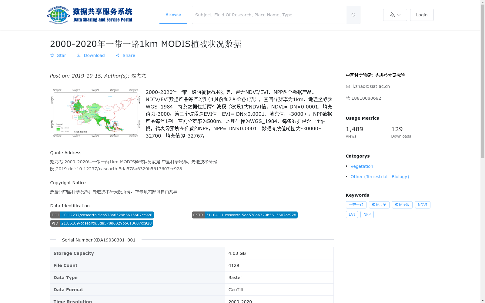
2000-2020年一带一路植被状况数据集,包含NDVI/EVI,NPP两个数据产品。NDIV/EVI数据产品每年2期(1月份和7月份各1期),空间分辨率为1km,地理坐标为WGS_1984,每条数据包括两个波段(波段1为NDVI值,NDVI= DN×0.0001,填充值为-3000;第二个波段是EVI值,EVI= DN×0.0001,填充值:-3000)。NPP数据产品每年1期,空间分辨率为500m,地理坐标为WGS_1984,每条数据包含一个波段,代表像素所在位置的NPP,NPP= DN×0.0001,数据有效值范围为-30000–32700,填充值为-32767。
Belt and Road Initiative Vegetation Status Dataset (2000–2020) contains two data products: NDVI/EVI and NPP.
For the NDVI/EVI data product, there are 2 temporal samples per year (one in January and one in July), with a spatial resolution of 1 km and geographic coordinate system WGS_1984. Each dataset includes two bands: Band 1 corresponds to NDVI values, where NDVI = DN × 0.0001, with a fill value of -3000; Band 2 corresponds to EVI values, where EVI = DN × 0.0001, with a fill value of -3000.
For the NPP data product, there is 1 temporal sample per year, with a spatial resolution of 500 m and geographic coordinate system WGS_1984. Each dataset contains one band representing the NPP value of the corresponding pixel, where NPP = DN × 0.0001. The valid value range of the data is -30000 to 32700, and the fill value is -32767.
提供机构:
中国科学院深圳先进技术研究院
搜集汇总
数据集介绍
背景与挑战
背景概述
该数据集包含2000-2020年一带一路地区的NDVI/EVI和NPP两个植被状况数据产品,NDVI/EVI每年2期,空间分辨率为1km,NPP每年1期,空间分辨率为500m,地理坐标均为WGS_1984。数据格式为GeoTiff,适用于植被状况的长期监测和分析。
以上内容由遇见数据集搜集并总结生成


