中国1:10万沙漠(沙地)分布数据集
收藏国家青藏高原科学数据中心2020-07-17 更新2024-03-06 收录
下载链接:
https://data.tpdc.ac.cn/zh-hans/data/122c9ac2-53ee-4b9a-ae87-1a980b131c9b
下载链接
链接失效反馈资源简介:
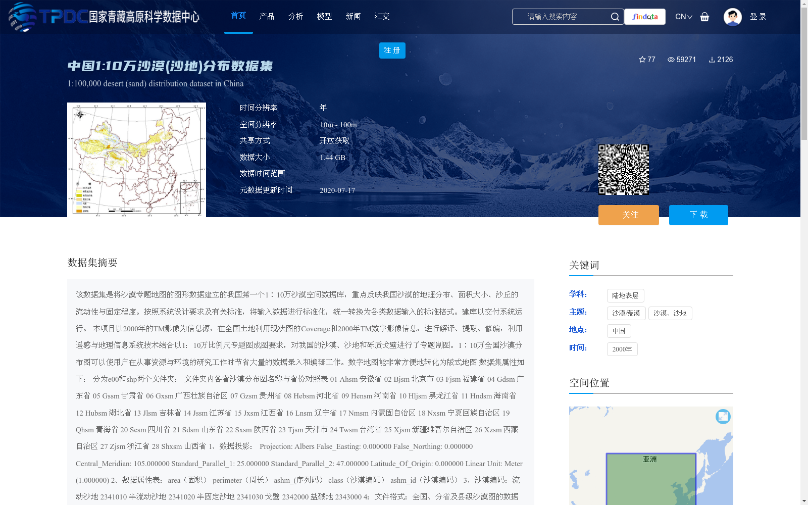
该数据集是将沙漠专题地图的图形数据建立的我国第一个1∶10万沙漠空间数据库,重点反映我国沙漠的地理分布、面积大小、沙丘的流动性与固定程度。按照系统设计要求及有关标准,将输入数据进行标准化,统一转换为各类数据输入的标准格式。建库以交付系统运行。
本项目以2000年的TM影像为信息源,在全国土地利用现状图的Coverage和2000年TM数字影像信息,进行解译、提取、修编,利用遥感与地理信息系统技术结合以1:10万比例尺专题图成图要求,对我国的沙漠、沙地和砾质戈壁进行了专题制图。1∶10万全国沙漠分布图可以使用户在从事资源与环境的研究工作时节省大量的数据录入和编辑工作。数字地图能非常方便地转化为版式地图
数据集属性如下:
分为e00和shp两个文件夹:
文件夹内各省沙漠分布图名称与省份对照表
01 Ahsm 安徽省
02 Bjsm 北京市
03 Fjsm 福建省
04 Gdsm 广东省
05 Gssm 甘肃省
06 Gxsm 广西壮族自治区
07 Gzsm 贵州省
08 Hebsm 河北省
09 Hensm 河南省
10 Hljsm 黑龙江省
11 Hndsm 海南省
12 Hubsm 湖北省
13 Jlsm 吉林省
14 Jssm 江苏省
15 Jxsm 江西省
16 Lnsm 辽宁省
17 Nmsm 内蒙固自治区
18 Nxsm 宁夏回族自治区
19 Qhsm 青海省
20 Scsm 四川省
21 Sdsm 山东省
22 Sxsm 陕西省
23 Tjsm 天津市
24 Twsm 台湾省
25 Xjsm 新疆维吾尔自治区
26 Xzsm 西藏自治区
27 Zjsm 浙江省
28 Shxsm 山西省
1、数据投影:
Projection: Albers
False_Easting: 0.000000
False_Northing: 0.000000
Central_Meridian: 105.000000
Standard_Parallel_1: 25.000000
Standard_Parallel_2: 47.000000
Latitude_Of_Origin: 0.000000
Linear Unit: Meter (1.000000)
2、数据属性表:area(面积)
perimeter(周长)
ashm_(序列码)
class(沙漠编码)
ashm_id(沙漠编码)
3、沙漠编码:流动沙地 2341010
半流动沙地 2341020
半固定沙地 2341030
戈壁 2342000
盐碱地 2343000
4:文件格式:全国、分省及县级沙漠图的数据类型为矢量型的shapefile和E00
5:文件命名: 基于国家基本资源与环境遥感动态信息服务系统数据组织在Windows NT的文件管理层面上进行,文件和目录名采用英文字和数字的复合名称,分省沙漠图以省、区名拼音+SM构成,如甘肃省沙漠分布图即为GSSM。旗、县沙漠图为省区名拼音+xxxx,xxxx为旗、县代码后四位数值,如兰州沙漠图命名为GS0101。省、区和旗、县的分幅切割以国家级基本资源与环境遥感动态信息服务运行系统中的行政区划数据文件为据。
This dataset is China's first 1:100000 desert spatial database established based on graphic data from desert thematic maps, focusing on reflecting the geographical distribution, area size, mobility and fixation degree of sand dunes in China. The input data were standardized and uniformly converted to standard formats for various data inputs in accordance with system design requirements and relevant standards, and the database was built for system deployment and operation.
This project took 2000 TM imagery as the information source, conducted interpretation, extraction and revision based on the Coverage of the national current land use map and 2000 TM digital image information, and carried out thematic mapping of deserts, sandy lands and gravelly Gobi in China by integrating remote sensing (RS) and geographic information system (GIS) technologies, meeting the 1:100000 scale thematic map mapping requirements. This 1:100000 national desert distribution map can greatly reduce users' workload of data entry and editing when conducting resource and environmental research. Digital maps can be easily converted to printed layout maps.
The dataset is divided into two folders: e00 and shp. The following is the corresponding table between the names of provincial desert distribution maps and their corresponding provinces in the folders:
01 Ahsm Anhui Province
02 Bjsm Beijing Municipality
03 Fjsm Fujian Province
04 Gdsm Guangdong Province
05 Gssm Gansu Province
06 Gxsm Guangxi Zhuang Autonomous Region
07 Gzsm Guizhou Province
08 Hebsm Hebei Province
09 Hensm Henan Province
10 Hljsm Heilongjiang Province
11 Hndsm Hainan Province
12 Hubsm Hubei Province
13 Jlsm Jilin Province
14 Jssm Jiangsu Province
15 Jxsm Jiangxi Province
16 Lnsm Liaoning Province
17 Nmsm Inner Mongolia Autonomous Region
18 Nxsm Ningxia Hui Autonomous Region
19 Qhsm Qinghai Province
20 Scsm Sichuan Province
21 Sdsm Shandong Province
22 Sxsm Shaanxi Province
23 Tjsm Tianjin Municipality
24 Twsm Taiwan Province
25 Xjsm Xinjiang Uygur Autonomous Region
26 Xzsm Tibet Autonomous Region
27 Zjsm Zhejiang Province
28 Shxsm Shanxi Province
1. Data Projection:
Projection: Albers
False_Easting: 0.000000
False_Northing: 0.000000
Central_Meridian: 105.000000
Standard_Parallel_1: 25.000000
Standard_Parallel_2: 47.000000
Latitude_Of_Origin: 0.000000
Linear Unit: Meter (1.000000)
2. Data Attribute Table:
area (area)
perimeter (perimeter)
ashm_ (serial number)
class (desert code)
ashm_id (desert code)
3. Desert Codes:
Mobile sandy land: 2341010
Semi-mobile sandy land: 2341020
Semi-fixed sandy land: 2341030
Gobi: 2342000
Saline-alkali land: 2343000
4. File Format: The data for national, provincial and county-level desert maps are in vector shapefile and E00 formats.
5. File Naming: The data organization is based on the National Basic Resources and Environmental Remote Sensing Dynamic Information Service System, and is implemented on the file management level of Windows NT. File and directory names use composite names consisting of English letters and numbers. Provincial desert maps are named after the pinyin of the provincial/autonomous regional name plus "SM", e.g., the desert distribution map of Gansu Province is named "GSSM". Banner and county-level desert maps are named after the pinyin of the provincial/autonomous regional name plus "xxxx", where "xxxx" is the last four digits of the banner/county code. For example, the desert map of Lanzhou is named "GS0101". The tile cutting of provincial, autonomous regional, banner and county-level maps is based on the administrative division data files in the National Basic Resources and Environmental Remote Sensing Dynamic Information Service Operation System.
提供机构:
王建华,王一谋,颜长珍,祁元
创建时间:
2013-07-23
AI搜集汇总
数据集介绍
背景与挑战
背景概述
该数据集是中国首个基于2000年TM影像构建的1:10万比例尺沙漠空间数据库,重点反映沙漠的地理分布、面积及沙丘流动性等特征。数据以矢量格式(shp和E00)提供,覆盖全国各省份,包含流动沙地、半流动沙地、戈壁等分类编码,适用于资源与环境研究。数据集开放获取,空间分辨率为10m-100m,数据大小为1.44 GB。
以上内容由AI搜集并总结生成


