
Physical Climate Risk
收藏Snowflake2024-01-24 更新2024-05-01 收录
下载链接:
https://app.snowflake.com/marketplace/listing/GZ2FQZRVGX1
下载链接
链接失效反馈官方服务:
资源简介:
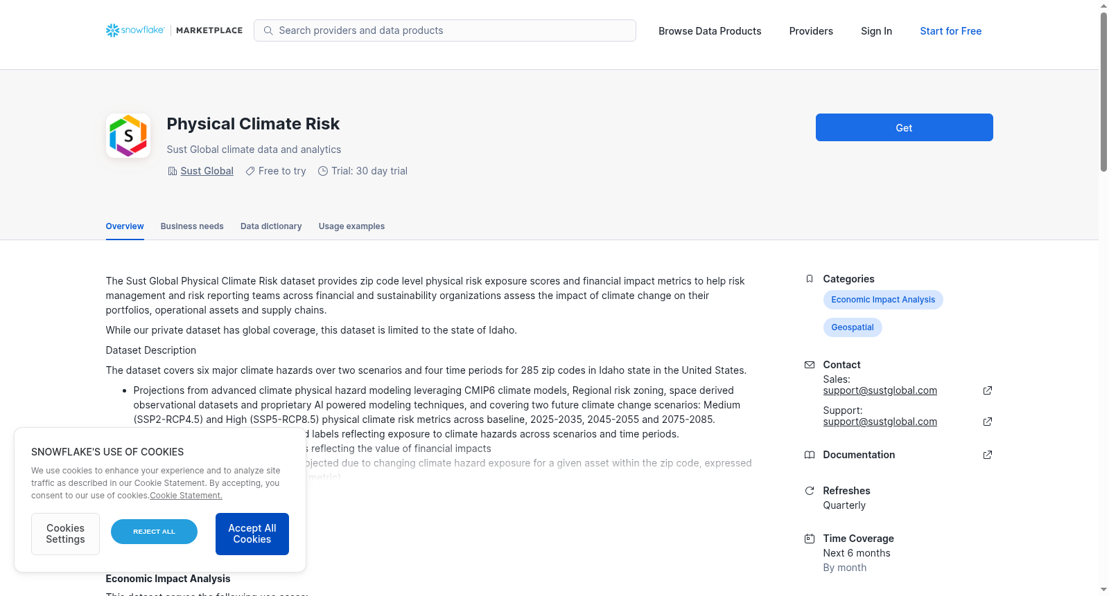
The Sust Global Physical Climate Risk dataset provides zip code level physical risk exposure scores and financial impact metrics to help risk management and risk reporting teams across financial and sustainability organizations assess the impact of climate change on their portfolios, operational assets and supply chains.
While our private dataset has global coverage, this dataset is limited to the state of Idaho.
Dataset Description
The dataset covers six major climate hazards over two scenarios and four time periods for 285 zip codes in Idaho state in the United States.
- Projections from advanced climate physical hazard modeling leveraging CMIP6 climate models, Regional risk zoning, space derived observational datasets and proprietary AI powered modeling techniques, and covering two future climate change scenarios: Medium (SSP2-RCP4.5) and High (SSP5-RCP8.5) physical climate risk metrics across baseline, 2025-2035, 2045-2055 and 2075-2085.
- Zip code level physical risk scores and labels reflecting exposure to climate hazards across scenarios and time periods.
- Zip code level financial impact metrics reflecting the value of financial impacts
and losses from structural damage projected due to changing climate hazard exposure for a given asset within the zip code, expressed as a percentage of the asset value (% metric).
- Zip code level financial impact metrics reflecting the value of financial impacts
and losses from business interruption projected due to changing climate hazard exposure for a given asset within the zip code, expressed as a percentage of the number of days in a year (% metric).
- Uncertainty bounds representing lower bound and upper bound for financial impact metrics for structural damage and business interruption.
- Six (6) physical climate hazards covered are Coastal and Inland Flooding, Wildfire, Tropical Cyclone, Heatwaves, Water Stress and Sea level Rise.
Demo video here: https://www.loom.com/share/05cd8f3efbe846e780cad5de716d8250?sid=38441c5e-21b5-47e4-8c12-34da03adaaa2
Sust Global物理气候风险数据集(Sust Global Physical Climate Risk dataset)提供邮政编码层级的物理风险敞口评分与财务影响指标,助力金融与可持续发展机构内的风险管理及风险报告团队评估气候变化对其投资组合、运营资产及供应链的影响。
尽管本机构的私有数据集具备全球覆盖范围,但本次公开数据集仅限美国爱达荷州。
数据集说明
本数据集覆盖美国爱达荷州285个邮政编码区域,涵盖两类未来气候变化情景与四个时间周期下的六种主要气候灾害。
- 本数据集的预测结果基于先进的气候物理灾害建模技术,整合CMIP6气候模型、区域风险分区、空间衍生观测数据集以及自研人工智能驱动建模方法,覆盖两种未来气候变化情景:中等风险情景(SSP2-RCP4.5)与高风险情景(SSP5-RCP8.5),涵盖基准期、2025-2035年、2045-2055年及2075-2085年四个时间周期的物理气候风险指标。
- 邮政编码层级的物理风险评分与标签,可反映各情景及时间周期内的气候灾害敞口情况。
- 邮政编码层级的财务影响指标,用于衡量该区域内特定资产因气候灾害敞口变化引发的结构损坏相关财务影响与损失价值,以资产价值的百分比(%指标)表示。
- 邮政编码层级的财务影响指标,用于衡量该区域内特定资产因气候灾害敞口变化引发的业务中断相关财务影响与损失价值,以年度天数的百分比(%指标)表示。
- 不确定性区间,代表结构损坏与业务中断两类财务影响指标的上下边界。
- 本次覆盖的六种物理气候灾害分别为:沿海与内陆洪水、野火、热带气旋、热浪、水资源短缺及海平面上升。
演示视频链接:https://www.loom.com/share/05cd8f3efbe846e780cad5de716d8250?sid=38441c5e-21b5-47e4-8c12-34da03adaaa2
提供机构:
Sust Global
创建时间:
2024-01-23
搜集汇总
数据集介绍
背景与挑战
背景概述
该数据集提供美国爱达荷州285个邮编地区的气候风险数据,涵盖6种主要气候灾害在两个场景和四个时间段的物理风险评分与财务影响指标。数据基于CMIP6气候模型和AI技术,包括资产结构损失和业务中断的财务影响评估。
以上内容由遇见数据集搜集并总结生成



