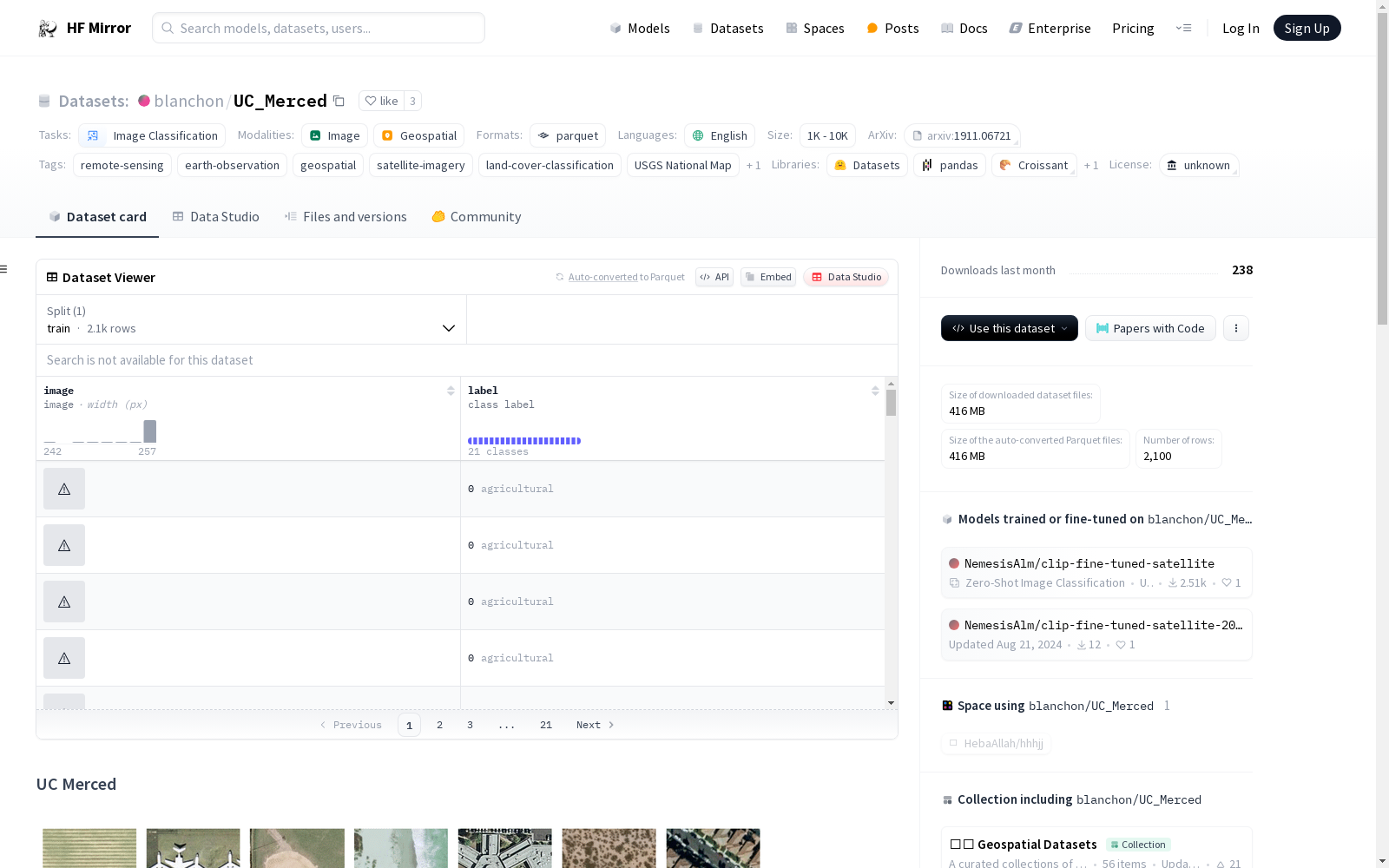
blanchon/UC_Merced
收藏资源简介:
--- language: en license: unknown task_categories: - image-classification paperswithcode_id: uc-merced-land-use-dataset pretty_name: UC Merced tags: - remote-sensing - earth-observation - geospatial - satellite-imagery - land-cover-classification - USGS National Map - USGS dataset_info: features: - name: image dtype: image - name: label dtype: class_label: names: '0': agricultural '1': airplane '2': baseballdiamond '3': beach '4': buildings '5': chaparral '6': denseresidential '7': forest '8': freeway '9': golfcourse '10': harbor '11': intersection '12': mediumresidential '13': mobilehomepark '14': overpass '15': parkinglot '16': river '17': runway '18': sparseresidential '19': storagetanks '20': tenniscourt splits: - name: train num_bytes: 438356371.8 num_examples: 2100 download_size: 416445676 dataset_size: 438356371.8 configs: - config_name: default data_files: - split: train path: data/train-* --- # UC Merced <!-- Dataset thumbnail -->  <!-- Provide a quick summary of the dataset. --> The UC Merced Land Use dataset is a land use classification dataset of 2.1k 256x256 1ft resolution RGB images of urban locations around the U.S. extracted from the USGS National Map Urban Area Imagery collection with 21 land use classes (100 images per class). - **Paper:** https://arxiv.org/abs/1911.06721 - **Homepage:** http://weegee.vision.ucmerced.edu/datasets/landuse.html ## Description <!-- Provide a longer summary of what this dataset is. --> - **Total Number of Images**: 2100 - **Bands**: 3 (RGB) - **Image Size**: 256x256 - **Resolution**: 0.3m - **Land Cover Classes**: 21 - **Classes**: agricultural, airplane, baseballdiamond, beach, buildings, chaparral, denseresidential, forest, freeway, golfcourse, harbor, intersection, mediumresidential, mobilehomepark, overpass, parkinglot, river, runway, sparseresidential, storagetanks, tenniscourt - **Source**: USGS ## Usage To use this dataset, simply use `datasets.load_dataset("blanchon/UC_Merced")`. <!-- Provide any additional information on how to use this dataset. --> ```python from datasets import load_dataset UC_Merced = load_dataset("blanchon/UC_Merced") ``` ## Citation <!-- If there is a paper or blog post introducing the dataset, the APA and Bibtex information for that should go in this section. --> If you use the EuroSAT dataset in your research, please consider citing the following publication: ```bibtex @article{neumann2019indomain, title = {In-domain representation learning for remote sensing}, author = {Maxim Neumann and Andre Susano Pinto and Xiaohua Zhai and Neil Houlsby}, year = {2019}, journal = {arXiv preprint arXiv: 1911.06721} } ```
语言:英语 许可证:未知 任务类别:图像分类 PapersWithCode 编号:uc-merced-land-use-dataset 正式名称:UC Merced 标签:遥感(remote-sensing)、地球观测(earth-observation)、地理空间(geospatial)、卫星影像(satellite-imagery)、土地覆盖分类(land-cover-classification)、美国地质调查局国家地图集(USGS National Map)、美国地质调查局(USGS) 数据集信息: 特征: - 名称:图像,数据类型:图像 - 名称:标签,数据类型:类别标签,类别名称如下: 0: 农业用地,1: 飞机场站,2: 棒球场,3: 海滩,4: 建筑物群,5: 灌丛植被,6: 高密度住宅区,7: 森林,8: 高速公路,9: 高尔夫球场,10: 港口,11: 十字路口,12: 中等密度住宅区,13: 移动住宅园区,14: 立交桥,15: 停车场,16: 河流,17: 跑道,18: 低密度住宅区,19: 储料罐,20: 网球场 数据集拆分: - 拆分名称:训练集,字节大小:438356371.8,样本数量:2100 下载大小:416445676 字节 数据集总大小:438356371.8 字节 配置: - 配置名称:默认配置,数据文件: - 拆分:训练集,路径:data/train-* # UC Merced  UC Merced土地利用数据集是一款土地覆盖分类数据集,包含2100张分辨率为256×256、地面采样距离为1英尺(约0.3米)的RGB彩色图像,图像均取自美国境内城市区域,提取自美国地质调查局(USGS)国家地图集城市影像库,涵盖21类土地利用类型,每类包含100张图像。 - **论文**:https://arxiv.org/abs/1911.06721 - **官方主页**:http://weegee.vision.ucmerced.edu/datasets/landuse.html ## 详细描述 - **总图像数量**:2100 - **波段数**:3(RGB) - **图像尺寸**:256×256 - **地面采样分辨率**:0.3米(约1英尺) - **土地覆盖类别数**:21 - **类别列表**:农业用地、飞机场站、棒球场、海滩、建筑物群、灌丛植被、高密度住宅区、森林、高速公路、高尔夫球场、港口、十字路口、中等密度住宅区、移动住宅园区、立交桥、停车场、河流、跑道、低密度住宅区、储料罐、网球场 - **数据来源**:美国地质调查局(USGS) ## 使用方法 如需使用该数据集,仅需调用`datasets.load_dataset("blanchon/UC_Merced")`。 python from datasets import load_dataset UC_Merced = load_dataset("blanchon/UC_Merced") ## 引用信息 若您在研究中使用EuroSAT数据集,请引用以下出版物: bibtex @article{neumann2019indomain, title = {In-domain representation learning for remote sensing}, author = {Maxim Neumann and Andre Susano Pinto and Xiaohua Zhai and Neil Houlsby}, year = {2019}, journal = {arXiv preprint arXiv: 1911.06721} }
UC Merced 数据集概述
基本信息
- 数据集名称: UC Merced
- 语言: 英语
- 许可: 未知
- 任务类别: 图像分类
- 标签:
- 遥感
- 地球观测
- 地理空间
- 卫星图像
- 土地覆盖分类
- USGS National Map
- USGS
数据集详情
-
特征:
- 图像: 图像格式
- 标签: 类别标签
- 类别名称:
- 0: agricultural
- 1: airplane
- 2: baseballdiamond
- 3: beach
- 4: buildings
- 5: chaparral
- 6: denseresidential
- 7: forest
- 8: freeway
- 9: golfcourse
- 10: harbor
- 11: intersection
- 12: mediumresidential
- 13: mobilehomepark
- 14: overpass
- 15: parkinglot
- 16: river
- 17: runway
- 18: sparseresidential
- 19: storagetanks
- 20: tenniscourt
- 类别名称:
-
数据分割:
- 训练集:
- 字节数: 438356371.8
- 样本数: 2100
- 训练集:
-
下载大小: 416445676
-
数据集大小: 438356371.8
配置
- 默认配置:
- 数据文件:
- 分割: 训练
- 路径: data/train-*
- 数据文件:
数据集描述
- 总图像数: 2100
- 波段: 3 (RGB)
- 图像尺寸: 256x256
- 分辨率: 0.3米
- 土地覆盖类别: 21
- 类别: agricultural, airplane, baseballdiamond, beach, buildings, chaparral, denseresidential, forest, freeway, golfcourse, harbor, intersection, mediumresidential, mobilehomepark, overpass, parkinglot, river, runway, sparseresidential, storagetanks, tenniscourt
- 来源: USGS
使用方法
- 使用
datasets.load_dataset("blanchon/UC_Merced")加载数据集。