
Vector data set of mariculture area in 2020
收藏Mendeley Data2022-02-10 更新2024-06-27 收录
下载链接:
https://www.doi.org/10.11922/sciencedb.00275
下载链接
链接失效反馈官方服务:
资源简介:
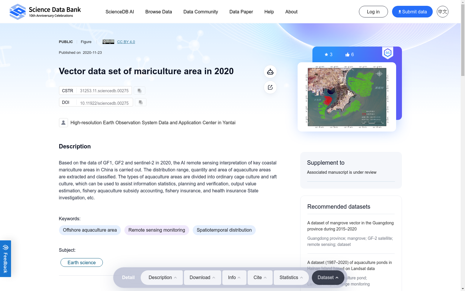
Based on the data of GF1, GF2 and sentinel-2 in 2020, the AI remote sensing interpretation of key coastal mariculture areas in China is carried out. The distribution range, quantity and area of aquaculture areas are extracted and classified. The types of aquaculture areas are divided into ordinary cage culture and raft culture, which can be used to assist information statistics, planning and verification, output value estimation, fishery aquaculture subsidy accounting, fishery insurance, and health insurance State investigation, etc.
本数据集基于2020年高分一号(GF1)、高分二号(GF2)与哨兵二号(Sentinel-2)卫星影像数据,针对中国沿海重点海水养殖区域开展人工智能遥感解译工作,提取并分类养殖区域的分布范围、数量与面积。养殖区域类型划分为普通网箱养殖与筏式养殖,可辅助开展信息统计、规划核验、产值估算、渔业养殖补贴核算、渔业保险及国家健康调查等相关工作。
创建时间:
2022-02-10
搜集汇总
数据集介绍
背景与挑战
背景概述
该数据集是一个2020年中国关键沿海海水养殖区域的矢量数据集,基于GF1、GF2和Sentinel-2遥感数据,通过AI解译提取了养殖区域的分布、数量和面积,并分类为普通网箱养殖和筏式养殖。它主要用于辅助海水养殖的信息统计、规划验证、产值估算和渔业管理,具有明确的时空分布特征,适用于地球科学研究。
以上内容由遇见数据集搜集并总结生成



