河湟谷地耕地空间分布格局数据集(1500、1600年)
收藏资源简介:
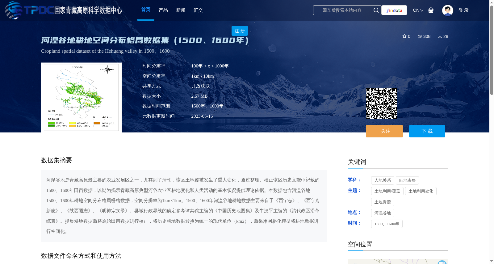
河湟谷地是青藏高原最主要的农业发展区之一,尤其到了清朝,该区土地覆被发生了重大变化,通过整理、校正该区历史文献中记载的1500、1600年田亩数据,以期为揭示青藏高原典型河谷农业区耕地变化和人类活动的基本状况提供理论依据。本数据包含河湟谷地1500、1600年耕地空间分布格局栅格数据,空间分辨率为1km×1km。1500、1600年河湟谷地耕地数据主要来自于《西宁志》、《西宁府新志》、《陕西通志》、《明神宗实录》。县域行政界线的确定参考谭其骧主编的《中国历史地图集》及牛汉平主编的《清代政区沿革综表》。搜集耕地数据后将原始田亩数据进行校正,将历史耕地数据转换为统一的现代单位(km2),后采用网格化模型将耕地数据进行空间化。
The Hehuang Valley is one of the most important agricultural development regions on the Qinghai-Tibet Plateau. Significant changes in land cover occurred in this area, especially during the Qing Dynasty. This dataset is compiled by sorting out and calibrating the cropland acreage data recorded in historical documents for the Hehuang Valley in 1500 and 1600, aiming to provide a theoretical basis for revealing the basic conditions of cropland changes and human activities in the typical valley agricultural areas of the Qinghai-Tibet Plateau. It contains raster data of the spatial distribution pattern of cropland in the Hehuang Valley in 1500 and 1600, with a spatial resolution of 1 km × 1 km. The cropland data for 1500 and 1600 are mainly sourced from *Xining Zhi*, *New Records of Xining Prefecture*, *General Records of Shaanxi*, and *Veritable Records of Emperor Shenzong of the Ming Dynasty*. The county-level administrative boundaries were determined with reference to the *Atlas of Chinese Historical Maps* edited by Tan Qixiang and the *Comprehensive Table of the Evolution of Qing Dynasty Administrative Divisions* edited by Niu Hanping. After collecting the original cropland data, the acreage data were calibrated, converted into a unified modern unit (km²), and then spatialized using a gridding model.