南亚地区1km耕地数据集(公元640-2016)
收藏国家青藏高原科学数据中心2025-02-10 更新2025-04-12 收录
下载链接:
https://data.tpdc.ac.cn/zh-hans/data/41af4f4f-86d4-4750-8c18-9db020480203
下载链接
链接失效反馈官方服务:
资源简介:
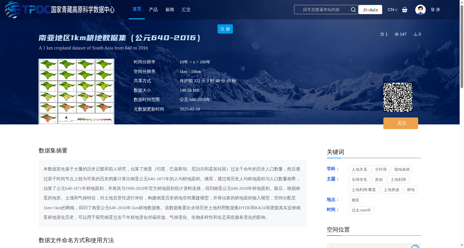
本数据首先基于大量的历史记载和前人研究,估算了南亚(印度、巴基斯坦、尼泊尔和孟加拉国)过去千余年的历史人口数量,然后通过若干时间节点上较为可靠的历史档案计算出南亚公元640–1871年的人均耕地面积。继而,通过将历史人均耕地面积与人口数量相乘,估算了公元640-1871年耕地面积,并将其与1900-2016年官方耕地面积统计资料连接,得到南亚公元640-2016年耕地面积。最后,根据南亚的地形、土壤和气候特征,对土地宜垦性进行评价,构建南亚历史耕地空间重建模型,并将估算的耕地面积输入模型,空间分配至1km×1km的网格,得到了南亚公元640–2016年1km耕地数据集。该数据集要比全球历史土地利用数据集HYDE和KK10等更能真实反映南亚耕地变化历史,可以用于探究南亚过去千年耕地变化对碳排放、气候变化、生物多样性和生态系统服务变化的影响。
This dataset first estimates the historical population of South Asia (India, Pakistan, Nepal and Bangladesh) over the past millennium based on extensive historical records and prior research. Then, it calculates the per capita arable land area of South Asia from 640 to 1871 AD using relatively reliable historical archives at several time nodes. Subsequently, it estimates the arable land area from 640 to 1871 AD by multiplying the historical per capita arable land area with the population size, and connects this with official arable land area statistics from 1900 to 2016 to obtain the total arable land area of South Asia from 640 AD to 2016. Finally, based on the topographic, soil and climatic characteristics of South Asia, it evaluates land suitability for reclamation, constructs a spatial reconstruction model for historical arable land in South Asia, inputs the estimated arable land area into the model, and spatially allocates it to 1km×1km grids, thus generating the 1km-resolution arable land dataset of South Asia from 640 AD to 2016. This dataset can more accurately reflect the historical changes of arable land in South Asia than global historical land use datasets such as HYDE and KK10, and can be used to explore the impacts of arable land changes in South Asia over the past millennium on carbon emissions, climate change, biodiversity and changes in ecosystem services.
提供机构:
刘鑫,李士成
创建时间:
2025-02-07
搜集汇总
数据集介绍
背景与挑战
背景概述
该数据集是南亚地区(包括印度、巴基斯坦、尼泊尔和孟加拉国)从公元640年至2016年的历史耕地空间数据,时间分辨率在10年到100年之间,空间分辨率为1km,以TIFF格式提供垦殖率(0-1)信息。它基于历史人口和耕地面积估算,结合地形、土壤和气候特征进行空间重建,旨在更真实地反映南亚耕地变化历史,适用于研究碳排放、气候变化、生物多样性和生态系统服务的影响。
以上内容由遇见数据集搜集并总结生成


