黄土高原GOSIF的快速变化指数(RCI)数据集(2000-2023年)
收藏资源简介:
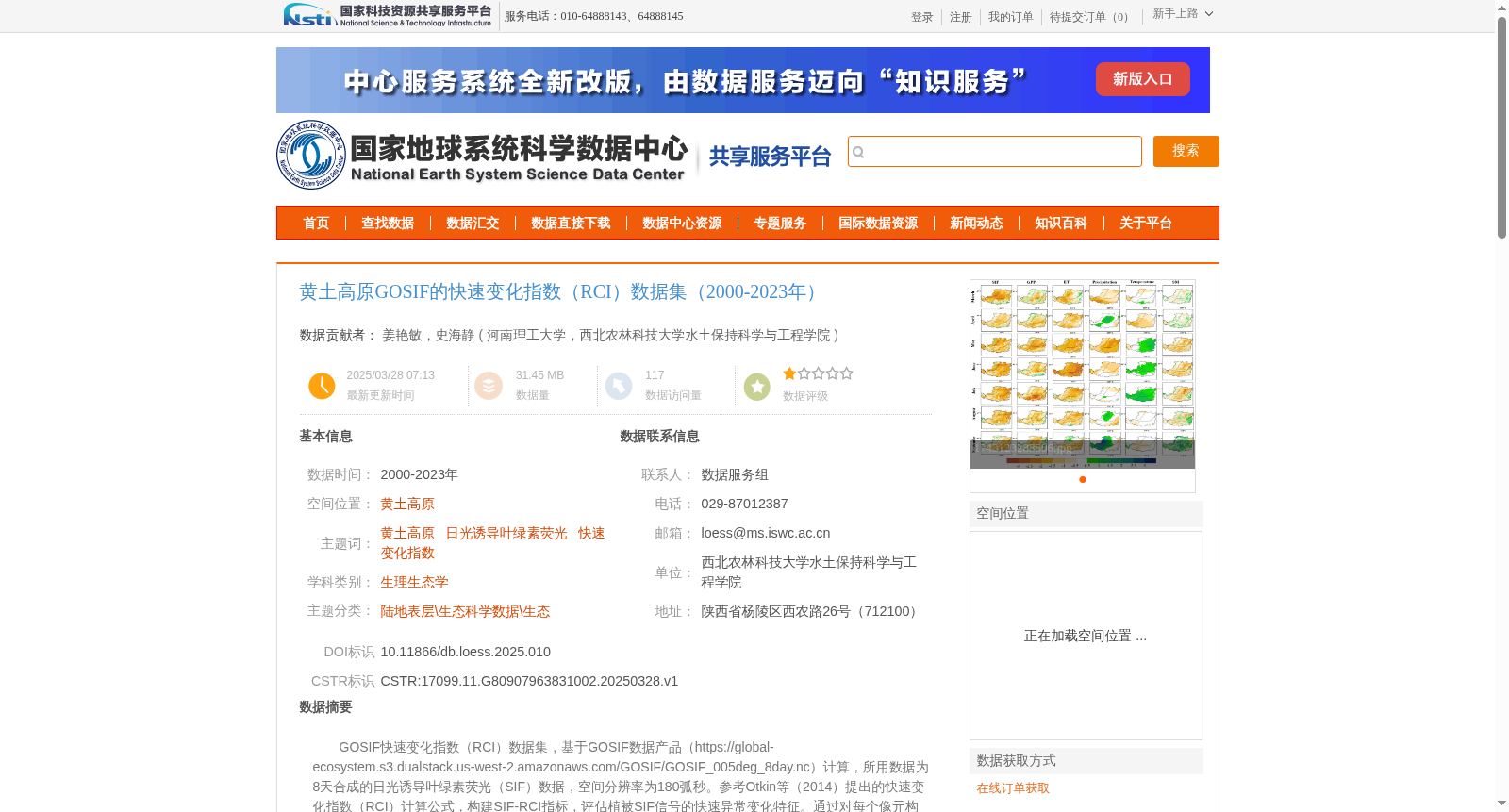
GOSIF快速变化指数(RCI)数据集,基于GOSIF数据产品(https://global-ecosystem.s3.dualstack.us-west-2.amazonaws.com/GOSIF/GOSIF_005deg_8day.nc)计算,所用数据为8天合成的日光诱导叶绿素荧光(SIF)数据,空间分辨率为180弧秒。参考Otkin等(2014)提出的快速变化指数(RCI)计算公式,构建SIF-RCI指标,评估植被SIF信号的快速异常变化特征。通过对每个像元构建时间序列正态分布并进行归一化处理,计算得到与输入数据分辨率(180弧秒,约5公里)相同分辨率的GOSIF快速变化指数图。GOSIF快速变化指数数据,是识别和监测突发干旱等快速植被胁迫事件的重要基础数据,同时也是分析植被光合作用动态变化特征的关键指标。
GOSIF Rapid Change Index (RCI) dataset is calculated based on the GOSIF data product (https://global-ecosystem.s3.dualstack.us-west-2.amazonaws.com/GOSIF/GOSIF_005deg_8day.nc). The input data is 8-day composite solar-induced chlorophyll fluorescence (SIF) data, with a spatial resolution of 180 arcseconds. Referring to the RCI calculation formula proposed by Otkin et al. (2014), the SIF-RCI index was constructed to evaluate the rapid abnormal change characteristics of vegetation SIF signals. By constructing a time-series normal distribution for each pixel and performing normalization processing, the GOSIF RCI map with the same resolution as the input data (180 arcseconds, approximately 5 km) was generated. The GOSIF RCI dataset is an important foundational data for identifying and monitoring rapid vegetation stress events such as sudden droughts, and also a key indicator for analyzing the dynamic changes of vegetation photosynthesis.