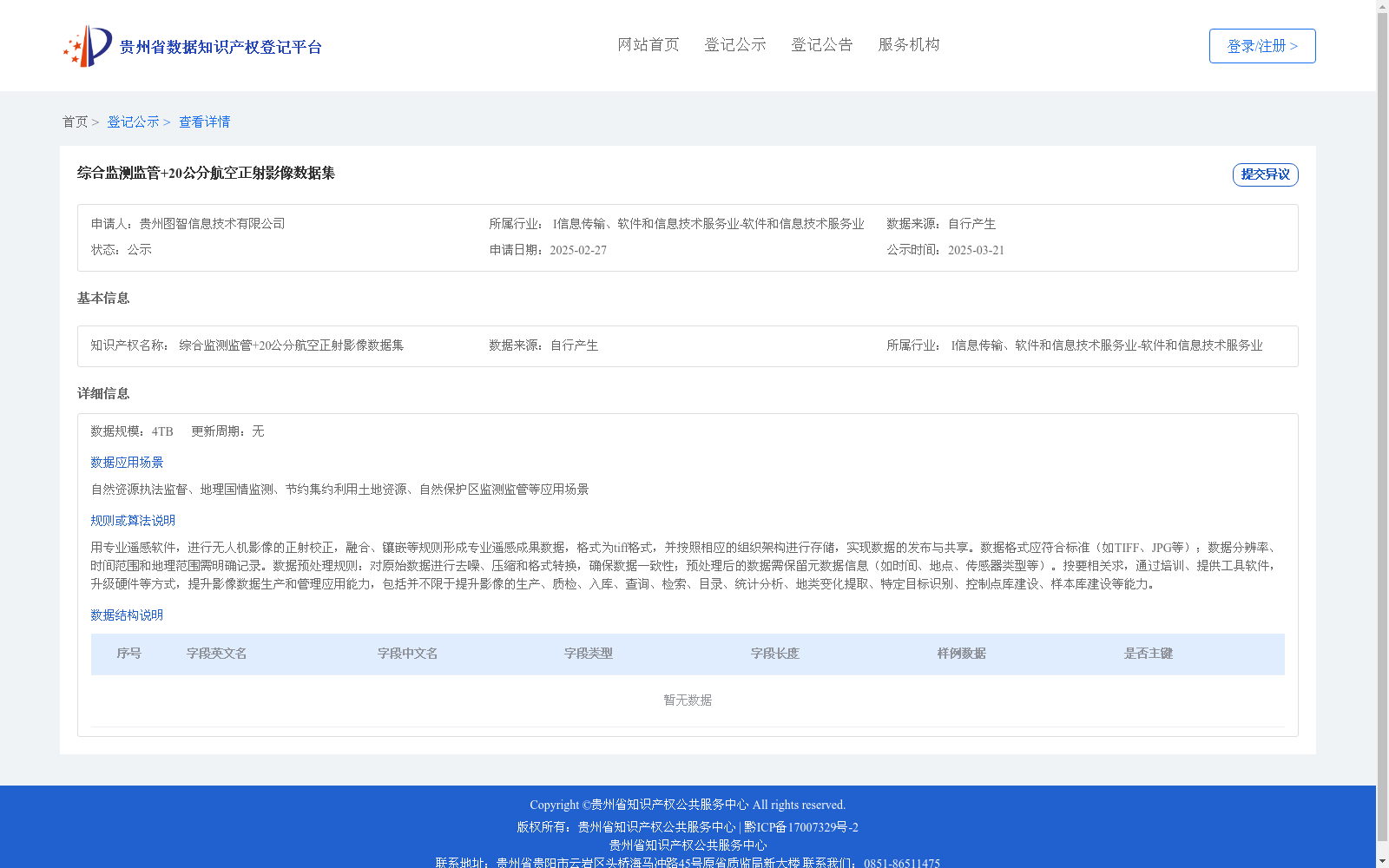
综合监测监管+20公分航空正射影像数据集
收藏资源简介:
用专业遥感软件,进行无人机影像的正射校正,融合、镶嵌等规则形成专业遥感成果数据,格式为tiff格式,并按照相应的组织架构进行存储,实现数据的发布与共享。数据格式应符合标准(如TIFF、JPG等);数据分辨率、时间范围和地理范围需明确记录。数据预处理规则:对原始数据进行去噪、压缩和格式转换,确保数据一致性;预处理后的数据需保留元数据信息(如时间、地点、传感器类型等)。按要相关求,通过培训、提供工具软件,升级硬件等方式,提升影像数据生产和管理应用能力,包括并不限于提升影像的生产、质检、入库、查询、检索、目录、统计分析、地类变化提取、特定目标识别、控制点库建设、样本库建设等能力。
Using professional remote sensing software, conduct orthorectification, fusion, mosaicking and other standardized processing on UAV imagery to generate professional remote sensing product data in TIFF format, which is stored in accordance with the corresponding organizational framework to realize data release and sharing. The data format shall comply with relevant standards (e.g., "TIFF", "JPG", etc.); the data resolution, temporal scope and geographic scope shall be clearly recorded. Data preprocessing rules: Denoise, compress and perform format conversion on the original data to ensure data consistency; metadata information such as acquisition time, location, sensor type and others shall be retained for the preprocessed data. According to relevant requirements, improve the capabilities of image data production, management and application through means such as training, providing tool software, upgrading hardware, etc., including but not limited to capabilities of image production, quality inspection, warehousing, query, retrieval, cataloging, statistical analysis, land cover change extraction, specific target recognition, control point database construction and sample database construction.