巢湖蓝藻水华反演产品数据集(2014年)
收藏国家地球系统科学数据中心2026-01-27 更新2024-03-04 收录
下载链接:
https://www.geodata.cn/data/datadetails.html?dataguid=69584726854716&docId=180
下载链接
链接失效反馈官方服务:
资源简介:
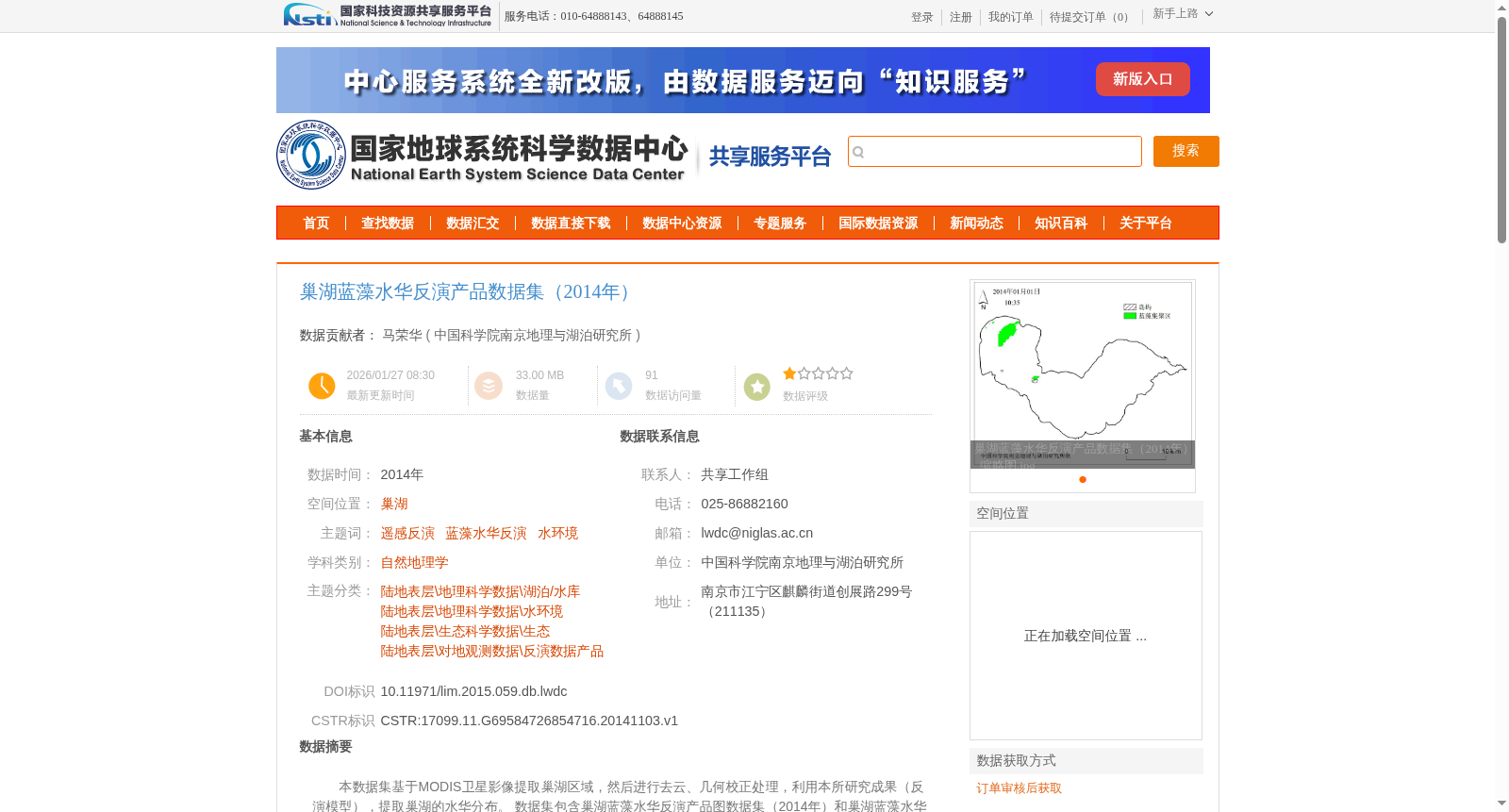
本数据集基于MODIS卫星影像提取巢湖区域,然后进行去云、几何校正处理,利用本所研究成果(反演模型),提取巢湖的水华分布。
数据集包含巢湖蓝藻水华反演产品图数据集(2014年)和巢湖蓝藻水华反演产品栅格数据集(2014年)2个文件夹,均为分辨率为250m的数据产品,一种为产品图出图产品,包含了120个jpg图片格式文件;另一种为栅格数据,包含了120个img格式栅格数据,可查询湖内任意点的具体水华反演值信息。
This dataset first extracts the Chaohu Lake region from MODIS satellite imagery, then performs cloud removal and geometric correction processing, and uses the inversion model developed by this institute to retrieve the distribution of cyanobacterial harmful algal blooms in Chaohu Lake. The dataset includes two folders: the Chaohu Lake Cyanobacterial Harmful Algal Blooms Inversion Product Image Dataset (2014) and the Chaohu Lake Cyanobacterial Harmful Algal Blooms Inversion Product Raster Dataset (2014). Both are data products with a spatial resolution of 250 meters. One is the image output product, containing 120 files in JPG format; the other is raster data, including 120 IMG format raster files, which enable querying the specific cyanobacterial bloom inversion value at any point within the lake.
提供机构:
中国科学院南京地理与湖泊研究所
创建时间:
2014-11-03
搜集汇总
数据集介绍
背景与挑战
背景概述
该数据集基于MODIS卫星影像提取巢湖区域,经过去云、几何校正处理,利用反演模型提取巢湖的蓝藻水华分布。数据集包含2014年巢湖蓝藻水华反演产品图和栅格数据,分辨率均为250m,分别提供120个jpg图片和img格式栅格文件,用于研究巢湖水华空间分布。
以上内容由遇见数据集搜集并总结生成


