西亚地区荒漠化时空格局专题数据(1990-2018)
收藏资源简介:
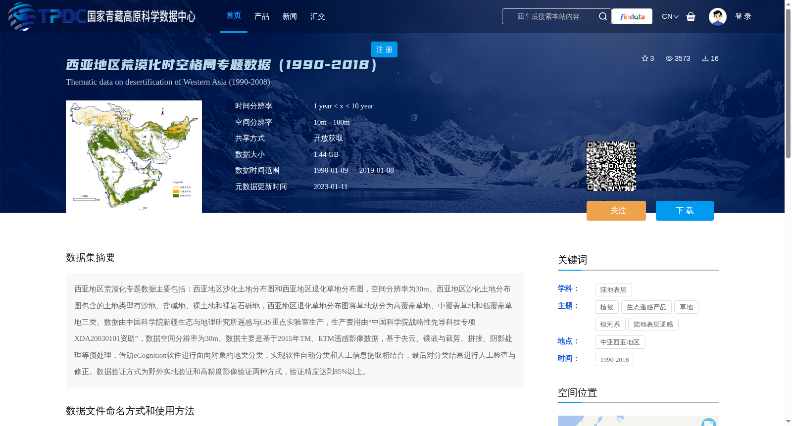
西亚地区荒漠化专题数据主要包括:西亚地区沙化土地分布图和西亚地区退化草地分布图,空间分辨率为30m。西亚地区沙化土地分布图包含的土地类型有沙地、盐碱地、裸土地和裸岩石砾地,西亚地区退化草地分布图将草地划分为高覆盖草地、中覆盖草地和低覆盖草地三类。数据由中国科学院新疆生态与地理研究所遥感与GIS重点实验室生产,生产费用由“中国科学院战略性先导科技专项XDA20030101资助”,数据空间分辨率为30m。数据主要是基于2015年TM、ETM遥感影像数据,基于去云、镶嵌与裁剪、拼接、阴影处理等预处理,借助eCognition软件进行面向对象的地类分类,实现软件自动分类和人工信息提取相结合,最后对分类结果进行人工检查与修正。数据验证方式为野外实地验证和高精度影像验证两种方式,验证精度达到85%以上。
The thematic dataset for desertification in West Asia mainly includes two maps: the distribution map of sandy land and the distribution map of degraded grassland in West Asia, with a spatial resolution of 30 meters. The sandy land distribution map covers four land types: sandy land, saline-alkali land, bare land, and bare rock and gravel land. The degraded grassland distribution map classifies grasslands into three categories: high-coverage grassland, medium-coverage grassland, and low-coverage grassland. This dataset was produced by the Key Laboratory of Remote Sensing and GIS, Xinjiang Institute of Ecology and Geography, Chinese Academy of Sciences, with funding from the Strategic Priority Research Program of the Chinese Academy of Sciences under Grant No. XDA20030101. The dataset was primarily developed based on 2015 TM and ETM remote sensing images. Preprocessing steps included cloud removal, mosaicking, clipping, splicing, and shadow processing. Object-oriented land classification was conducted using eCognition software, combining automatic software classification with manual information extraction. Finally, manual inspection and correction were performed on the classification results. Two validation methods were adopted: field survey validation and high-resolution image validation, with the overall validation accuracy exceeding 85%.