地形测绘服务
收藏郑州数据交易中心2023-10-31 更新2024-10-10 收录
下载链接:
https://market.zzbdex.com/trade/service/1719187162562990081
下载链接
链接失效反馈官方服务:
资源简介:
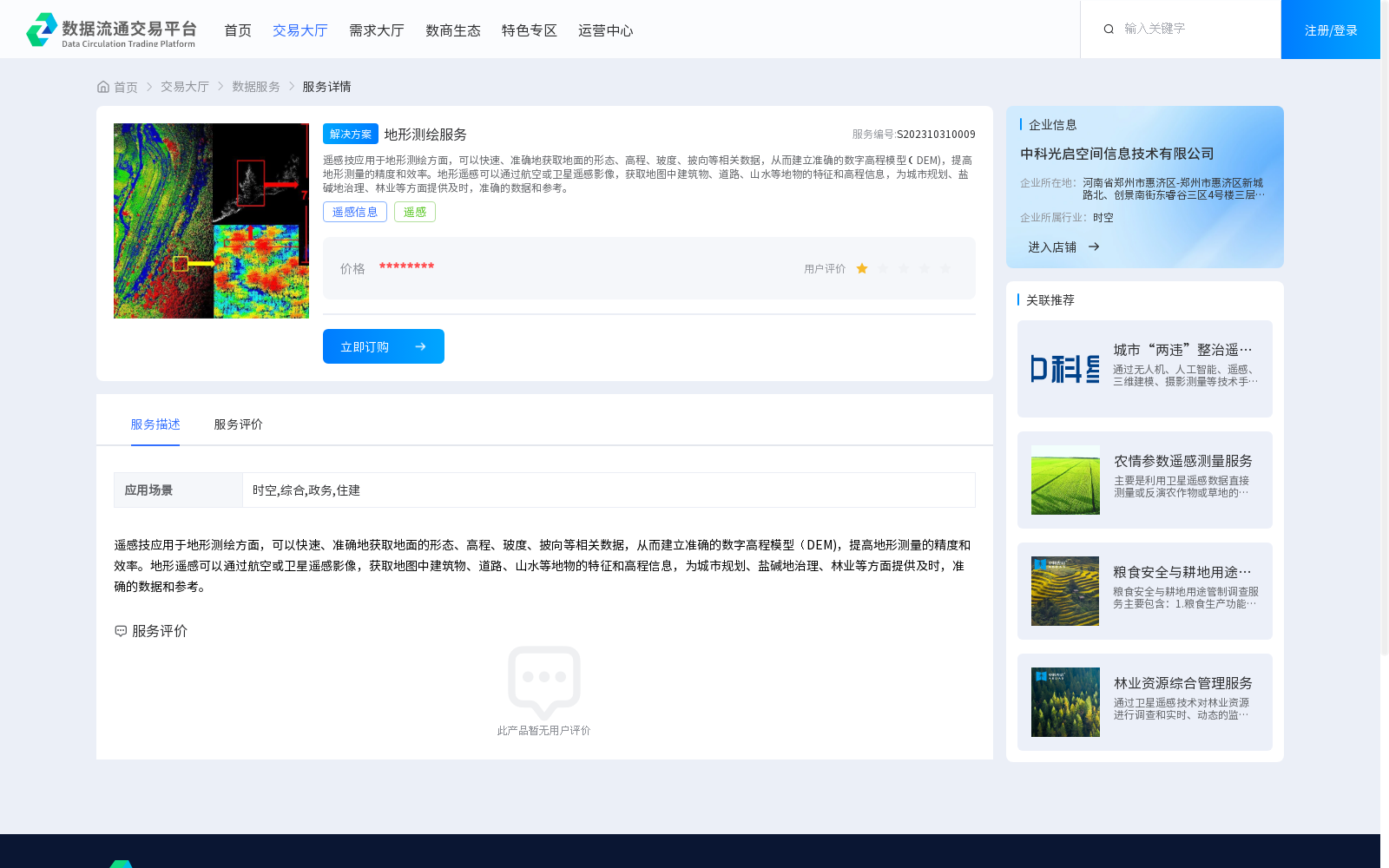
遥感技应用于地形测绘方面,可以快速、准确地获取地面的形态、高程、玻度、披向等相关数据,从而建立准确的数字高程模型(DEM),提高地形测量的精度和效率。地形遥感可以通过航空或卫星遥感影像,获取地图中建筑物、道路、山水等地物的特征和高程信息,为城市规划、盐碱地治理、林业等方面提供及时,准确的数据和参考。
Remote sensing technology applied in topographic mapping can rapidly and accurately acquire relevant data such as ground morphology, elevation, slope, and aspect, thereby enabling the construction of accurate Digital Elevation Models (DEMs) and improving the accuracy and efficiency of topographic surveys. Terrain remote sensing can obtain feature and elevation information of ground objects including buildings, roads, mountains and waters via aerial or satellite remote sensing imagery, providing timely and accurate data and references for urban planning, saline-alkali land management, forestry and other related fields.
提供机构:
中科光启空间信息技术有限公司
创建时间:
2023-10-31
搜集汇总
数据集介绍
背景与挑战
背景概述
地形测绘服务利用遥感技术快速获取地面数据,建立数字高程模型(DEM),服务于城市规划、盐碱地治理和林业等领域。
以上内容由遇见数据集搜集并总结生成


